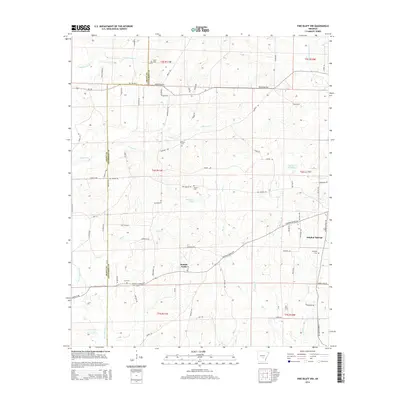
2014 Map of Pine Bluff NW
USGS Topo · Published 2014About this map
Double Wells and Sulphur Springs serve as the primary residential anchors in this part of Jefferson County, where the landscape is defined by the winding course of Bayou Bartholomew and several smaller tributaries like Pumpkinvine Cr and Derrieusseaux Cr. The area reflects a deep rural history through its numerous small burial grounds, including Heutt Cem, Phillips Cem, Branch Cem, Fitzhugh Cem, and Lee Cem, which are often the most enduring markers of local family lineages in the Arkansas timberlands.
Find a feature on this map
82 named features on this map. Tap any name to fly to it.
Don’t see what you’re looking for? This feature index may not catch every label — zoom into the map to look around manually.
Map Details
Editions of this 2014 Pine Bluff NW Map
This is the sole edition of this map. No revisions or reprints were ever made.
Other maps of this area

1932 · Pastoria
USGS Topo · 1:62,500

1935 · Pastoria
USGS Topo · 1:62,500

1955 · Little Rock
USGS Topo · 1:250,000

1956 · Little Rock
USGS Topo · 1:250,000

1960 · Little Rock
USGS Topo · 1:250,000

1962 · Pine Bluff
USGS Topo · 1:24,000

1962 · Faith
USGS Topo · 1:24,000

1962 · Pine Bluff NW
USGS Topo · 1:24,000

1962 · Kedron
USGS Topo · 1:24,000

1964 · Little Rock
USGS Topo · 1:250,000