
1962 Map of Faith
USGS Topo · Published 1963About this map
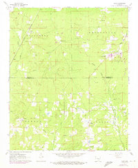
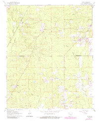
Faith and Rone anchor the western reaches of this landscape as it appeared in the early 1960s, situated along the St Louis Southwestern railroad line. This corridor serves as a transit spine through the townships of Talladega, Whiteville, and Bowman, where the terrain is defined by the winding paths of Big Creek and Hudgin Creek. The map reveals a deeply established rural community, evidenced by the high density of country churches and family burial grounds including Mt Gilead Ch, Wesley Chapel, and Blackwell Cem. Significant topographical data is captured near the Jefferson Co Cleveland Co line, where scattered Gravel Pits indicate local extraction activities. A prominent Lookout Tower near Randall provides a vertical landmark in this timber-rich region, while Sandy Bayou drains the eastern edge of the survey.
Find a feature on this map
26 named features on this map. Tap any name to fly to it.
Don’t see what you’re looking for? This feature index may not catch every label — zoom into the map to look around manually.
Map Details
Editions of this 1962 Faith Map
3 editions found
Other maps of this area

1935 · Feenyville
USGS Topo · 1:62,500

1935 · Noble Lake
USGS Topo · 1:62,500

1948 · Helena
USGS Topo · 1:250,000

1950 · Helena
USGS Topo · 1:250,000

1953 · Greenwood
USGS Topo · 1:250,000

1953 · El Dorado
USGS Topo · 1:250,000

1955 · Helena
USGS Topo · 1:250,000

1955 · Little Rock
USGS Topo · 1:250,000

1956 · Little Rock
USGS Topo · 1:250,000

1956 · Greenwood
USGS Topo · 1:250,000