
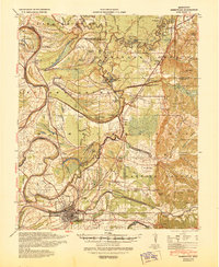
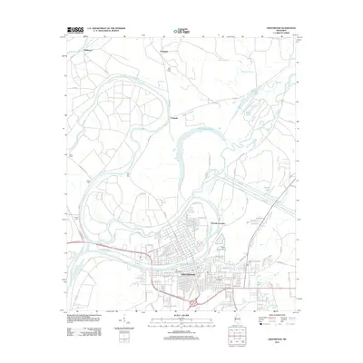
1956 Map of Greenwood
USGS Topo · Published 1956About this map
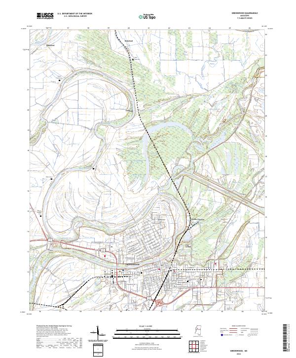
The Mississippi River carves a complex path through this mid-century Delta landscape, defining the boundaries of Mississippi, Arkansas, and Louisiana. This survey highlights a region of intensive land management and conservation, featuring the White River National Wildlife Refuge and the Yazoo National Wildlife Refuge. The map reveals the intricate network of oxbow lakes, such as Lake Chicot and Lake Washington, which mark the river's historic migration across the floodplain. Industrial and civic footprints are prominent at the Greenville Air Force Base and the expansive State Penal Farm in the north.
Find a feature on this map
134 named features on this map. Tap any name to fly to it.
Don’t see what you’re looking for? This feature index may not catch every label — zoom into the map to look around manually.
Map Details
Editions of this 1956 Greenwood Map
This is the sole edition of this map. No revisions or reprints were ever made.
Historical Maps of Greenville Through Time
12 maps found

1936 Greenwood
Leflore County, MS
1940 Greenwood
Leflore County, MS
1953 Greenwood
Leflore County, MS
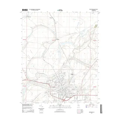
1956 Greenwood
Leflore County, MS
1957 Greenwood
Leflore County, MS
1982 Greenwood
Leflore County, MS

1983 Greenwood
Leflore County, MS
2012 Greenwood
Leflore County, MS
2015 Greenwood
Leflore County, MS
2018 Greenwood
Leflore County, MS
2020 Greenwood
Leflore County, MS
2024 Greenwood
Leflore County, MS