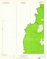
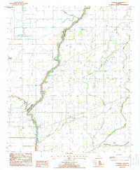
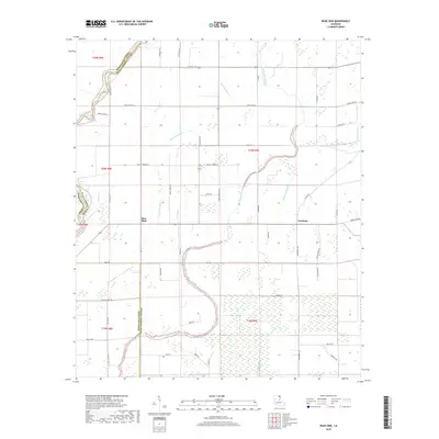
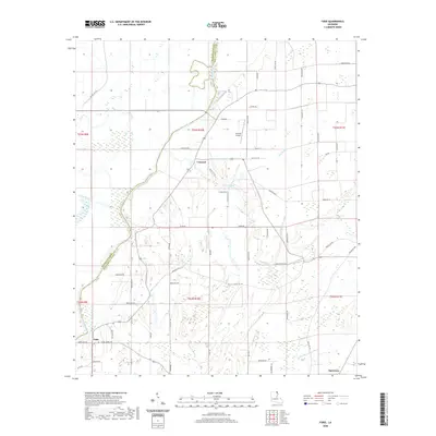
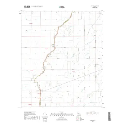
1909 Map of Ashton Bridge
USGS Topo · Published 1961About this map
Cook and McLean's Sawmill sits at the heart of this early twentieth-century survey, reflecting the local timber industry as it existed in the Louisiana delta. Located near the Bayou Macon and connected by a visible Tram Road, this site suggests the logistical challenges of hauling timber through the parish's wetlands. The map details a shifting landscape along the border of West Carroll Parish and East Carroll Parish, where the winding courses of Three Bayou and Wilson Bayou define the terrain. The inclusion of the Ashton Bridge and an Abandoned Bridge further north illustrates the evolution of local crossings along the Arkansas-Louisiana line, providing critical evidence of early twentieth-century infrastructure and transportation patterns before modern development altered the region.
Find a feature on this map
11 named features on this map. Tap any name to fly to it.
Don’t see what you’re looking for? This feature index may not catch every label — zoom into the map to look around manually.
Map Details
Editions of this 1909 Ashton Bridge Map
This is the sole edition of this map. No revisions or reprints were ever made.
Historical Maps of Kilbourne Through Time
20 maps found
1909 Ashton Bridge
West Carroll Parish, LA
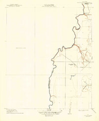
1912 Ashton Bridge
West Carroll Parish, LA
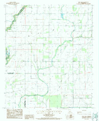
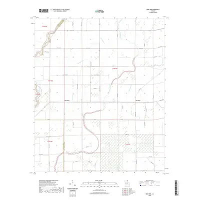
1986 Bear Skin
West Carroll Parish, LA
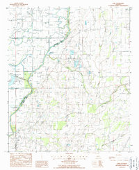
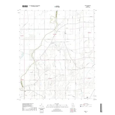
1988 Fiske
West Carroll Parish, LA
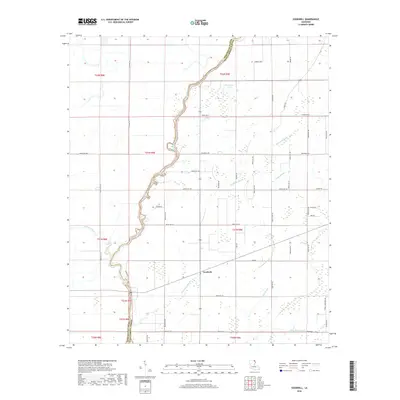
1988 Goodwill
West Carroll Parish, LA
2012 Bear Skin
West Carroll Parish, LA
2012 Fiske
West Carroll Parish, LA
2012 Goodwill
West Carroll Parish, LA
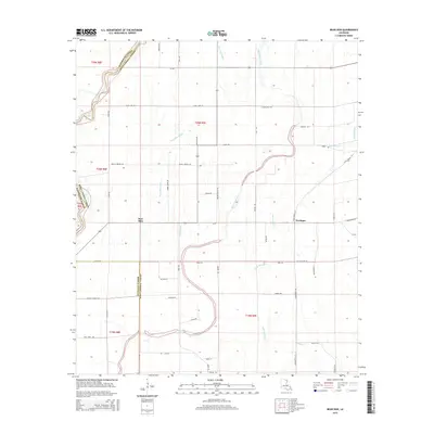
2015 Bear Skin
West Carroll Parish, LA
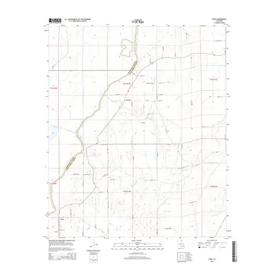
2015 Fiske
West Carroll Parish, LA
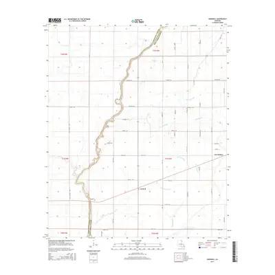
2015 Goodwill
West Carroll Parish, LA
2018 Bear Skin
West Carroll Parish, LA
2018 Fiske
West Carroll Parish, LA
2018 Goodwill
West Carroll Parish, LA
2020 Bear Skin
West Carroll Parish, LA
2020 Fiske
West Carroll Parish, LA
2020 Goodwill
West Carroll Parish, LA
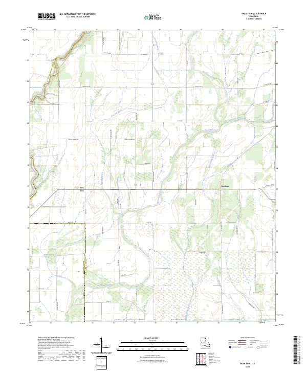
2024 Bear Skin
West Carroll Parish, LA
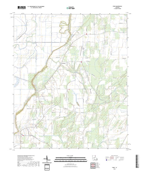
2024 Fiske
West Carroll Parish, LA
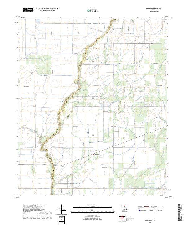
2024 Goodwill
West Carroll Parish, LA