
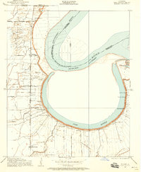
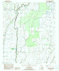
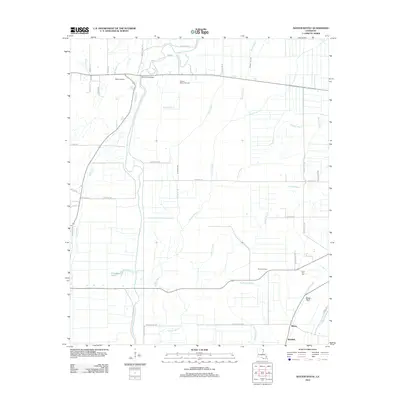
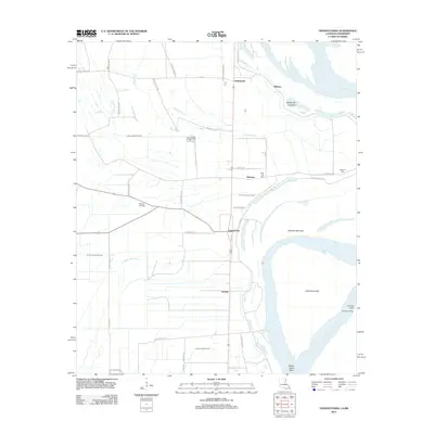
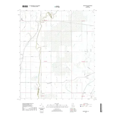
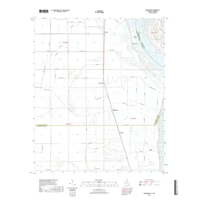
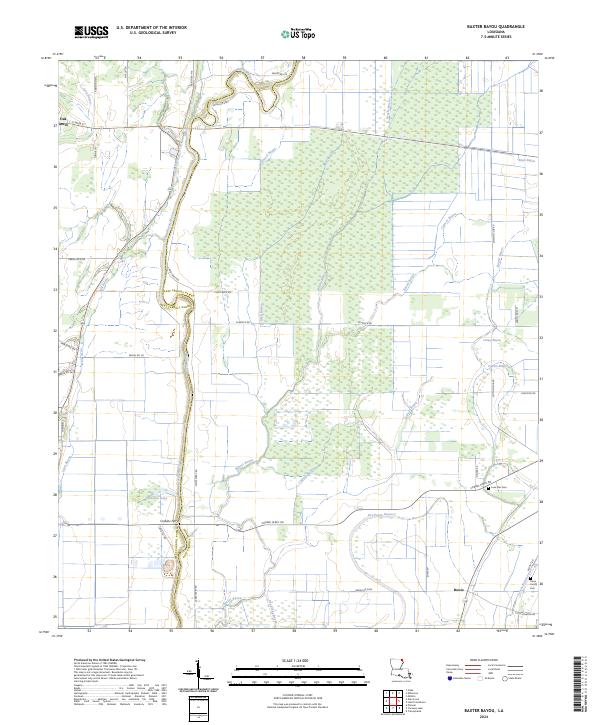
1909 Map of Baxter Bayou
USGS Topo · Published 1909About this map
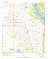
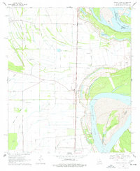
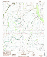
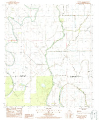
Macon Bayou forms a sharp boundary between East Carroll and West Carroll Parishes in this detailed 1909 study of the Louisiana delta. The landscape is defined by an intricate network of waterways, where the meandering Bassett Bayou and Brushy Bayou drain the low-lying alluvial plains. The map captures a moment of transition in local transportation, marking both the Lanes Ferry Bridge and the site of Corbins Ferry (Abandoned). These crossings, along with the State Road, represent the primary lifelines for early 20th-century residents navigating the swampy terrain between Johnson Lake and the various branches of the Baxter Bayou system. The intricate hydrography, including features like Cockspur Lake and Cypress Bayou, illustrates the complex drainage patterns that the Fifth Louisiana Levee District sought to manage during this era of agricultural development.
Find a feature on this map
17 named features on this map. Tap any name to fly to it.
Don’t see what you’re looking for? This feature index may not catch every label — zoom into the map to look around manually.
Map Details
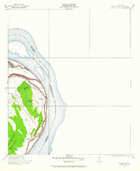
Editions of this 1909 Baxter Bayou Map
This is the sole edition of this map. No revisions or reprints were ever made.
Historical Maps of Oak Grove Through Time
46 maps found
1909 Baxter Bayou
East Carroll Parish, LA
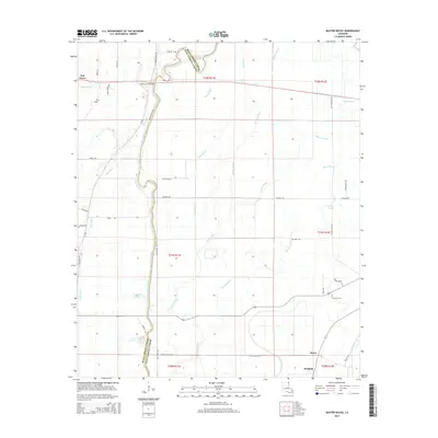
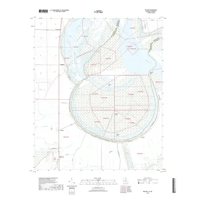
1909 Millikin
East Carroll Parish, LA
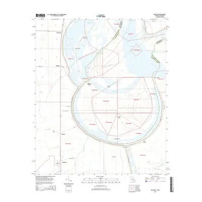
1909 Wilson Point
East Carroll Parish, LA

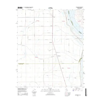
1911 Baxter Bayou
East Carroll Parish, LA

1913 Wilson Point
East Carroll Parish, LA

1914 Baxter Bayou
East Carroll Parish, LA
1959 Mitchiner
East Carroll Parish, LA
1970 Millikin
East Carroll Parish, LA
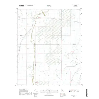
1970 Sondheimer
East Carroll Parish, LA
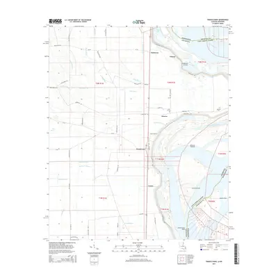
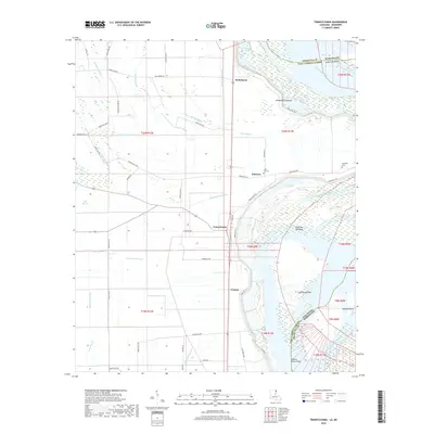
1970 Transylvania
East Carroll Parish, LA
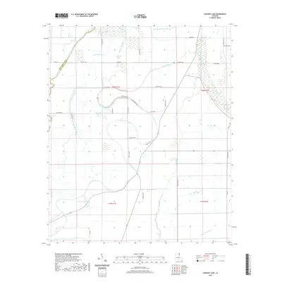
1986 Caraway Lake
East Carroll Parish, LA
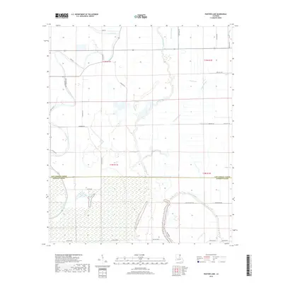
1987 Panther Lake
East Carroll Parish, LA
1988 Baxter Bayou
East Carroll Parish, LA
1994 Millikin
East Carroll Parish, LA
1994 Sondheimer
East Carroll Parish, LA
1994 Transylvania
East Carroll Parish, LA
2012 Baxter Bayou
East Carroll Parish, LA

2012 Caraway Lake
East Carroll Parish, LA
2012 Millikin
East Carroll Parish, LA
2012 Panther Lake
East Carroll Parish, LA
2012 Sondheimer
East Carroll Parish, LA
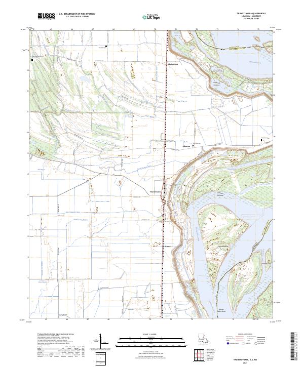
2012 Transylvania
East Carroll Parish, LA
2015 Baxter Bayou
East Carroll Parish, LA

2015 Caraway Lake
East Carroll Parish, LA
2015 Millikin
East Carroll Parish, LA

2015 Panther Lake
East Carroll Parish, LA
2015 Sondheimer
East Carroll Parish, LA
2015 Transylvania
East Carroll Parish, LA
2018 Baxter Bayou
East Carroll Parish, LA

2018 Caraway Lake
East Carroll Parish, LA
2018 Millikin
East Carroll Parish, LA
2018 Panther Lake
East Carroll Parish, LA
2018 Sondheimer
East Carroll Parish, LA
2018 Transylvania
East Carroll Parish, LA
2020 Baxter Bayou
East Carroll Parish, LA
2020 Caraway Lake
East Carroll Parish, LA
2020 Millikin
East Carroll Parish, LA

2020 Panther Lake
East Carroll Parish, LA
2020 Sondheimer
East Carroll Parish, LA
2020 Transylvania
East Carroll Parish, LA
2024 Baxter Bayou
East Carroll Parish, LA
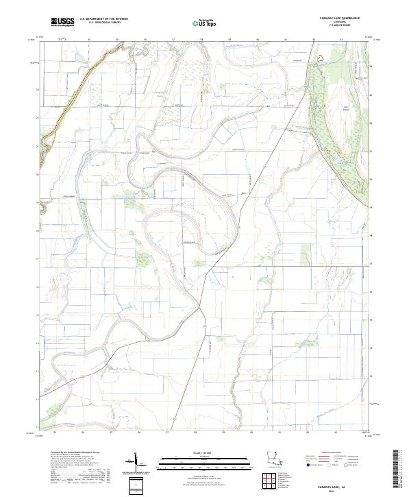
2024 Caraway Lake
East Carroll Parish, LA
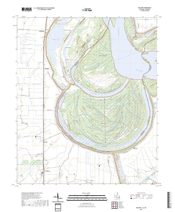
2024 Millikin
East Carroll Parish, LA
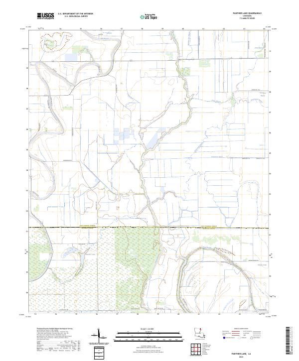
2024 Panther Lake
East Carroll Parish, LA
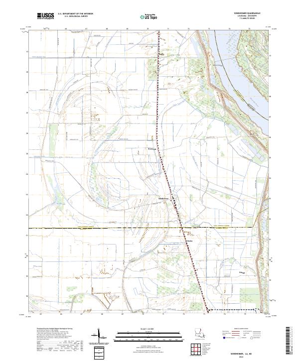
2024 Sondheimer
East Carroll Parish, LA
2024 Transylvania
East Carroll Parish, LA