
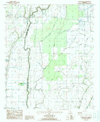
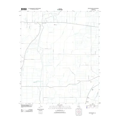
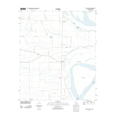
1913 Map of Wilson Point
USGS Topo · Published 1913About this map
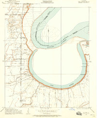
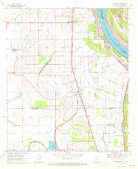
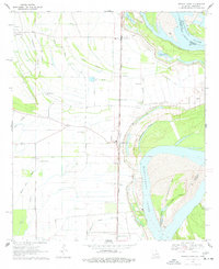
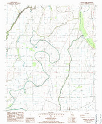
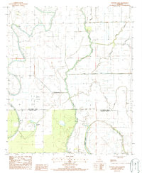
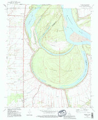
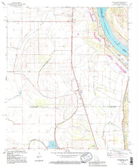
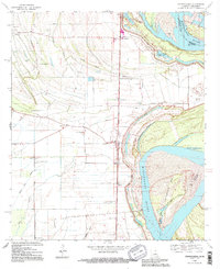
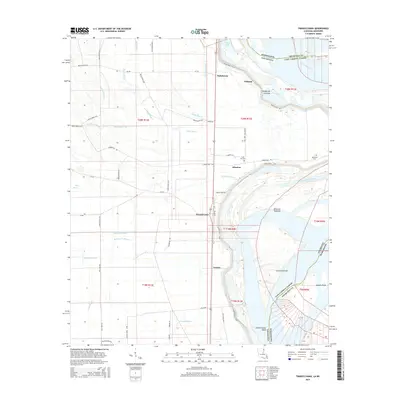
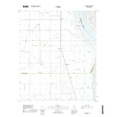
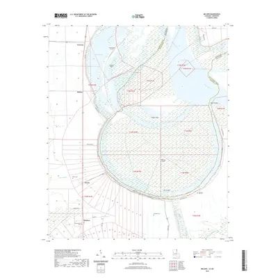
Mississippi River dynamics dominate this 1913 preliminary edition, which focuses on the narrow strip of land between the levee system and the water's edge in East Carroll Parish. The map reveals a landscape defined by seasonal flooding and agricultural utility, where the settlement of Wilson Point sits near the crescent of Wilson Point Lake. Further south, the community of Cottonwood and the Morning Star Church anchor the rural life of the district. The mapping effort, a collaboration between the U.S. Geological Survey and the Fifth Louisiana Levee District, precisely tracks the shoreline and topographic elevations crucial for flood control during this era. Land plots are meticulously numbered, showing the partition of riverfront property near Opossum Point as it stood before modern river channelization significantly altered these alluvial banks.
Find a feature on this map
9 named features on this map. Tap any name to fly to it.
Don’t see what you’re looking for? This feature index may not catch every label — zoom into the map to look around manually.
Map Details
Editions of this 1913 Wilson Point Map
This is the sole edition of this map. No revisions or reprints were ever made.
Historical Maps of Mayersville Through Time
46 maps found

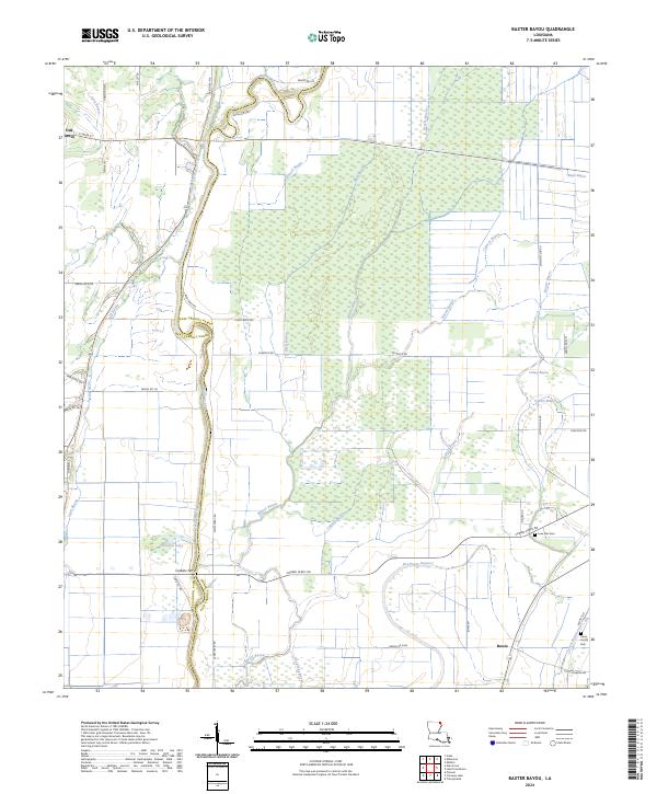
1909 Baxter Bayou
East Carroll Parish, LA
1909 Millikin
East Carroll Parish, LA
1909 Wilson Point
East Carroll Parish, LA

1911 Baxter Bayou
East Carroll Parish, LA
1913 Wilson Point
East Carroll Parish, LA

1914 Baxter Bayou
East Carroll Parish, LA
1959 Mitchiner
East Carroll Parish, LA
1970 Millikin
East Carroll Parish, LA
1970 Sondheimer
East Carroll Parish, LA
1970 Transylvania
East Carroll Parish, LA
1986 Caraway Lake
East Carroll Parish, LA
1987 Panther Lake
East Carroll Parish, LA
1988 Baxter Bayou
East Carroll Parish, LA
1994 Millikin
East Carroll Parish, LA
1994 Sondheimer
East Carroll Parish, LA
1994 Transylvania
East Carroll Parish, LA
2012 Baxter Bayou
East Carroll Parish, LA

2012 Caraway Lake
East Carroll Parish, LA
2012 Millikin
East Carroll Parish, LA
2012 Panther Lake
East Carroll Parish, LA
2012 Sondheimer
East Carroll Parish, LA
2012 Transylvania
East Carroll Parish, LA
2015 Baxter Bayou
East Carroll Parish, LA

2015 Caraway Lake
East Carroll Parish, LA
2015 Millikin
East Carroll Parish, LA

2015 Panther Lake
East Carroll Parish, LA
2015 Sondheimer
East Carroll Parish, LA
2015 Transylvania
East Carroll Parish, LA
2018 Baxter Bayou
East Carroll Parish, LA

2018 Caraway Lake
East Carroll Parish, LA
2018 Millikin
East Carroll Parish, LA
2018 Panther Lake
East Carroll Parish, LA
2018 Sondheimer
East Carroll Parish, LA
2018 Transylvania
East Carroll Parish, LA
2020 Baxter Bayou
East Carroll Parish, LA
2020 Caraway Lake
East Carroll Parish, LA
2020 Millikin
East Carroll Parish, LA

2020 Panther Lake
East Carroll Parish, LA
2020 Sondheimer
East Carroll Parish, LA
2020 Transylvania
East Carroll Parish, LA
2024 Baxter Bayou
East Carroll Parish, LA
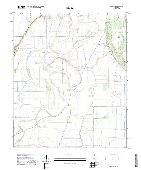
2024 Caraway Lake
East Carroll Parish, LA
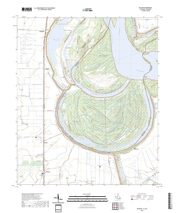
2024 Millikin
East Carroll Parish, LA
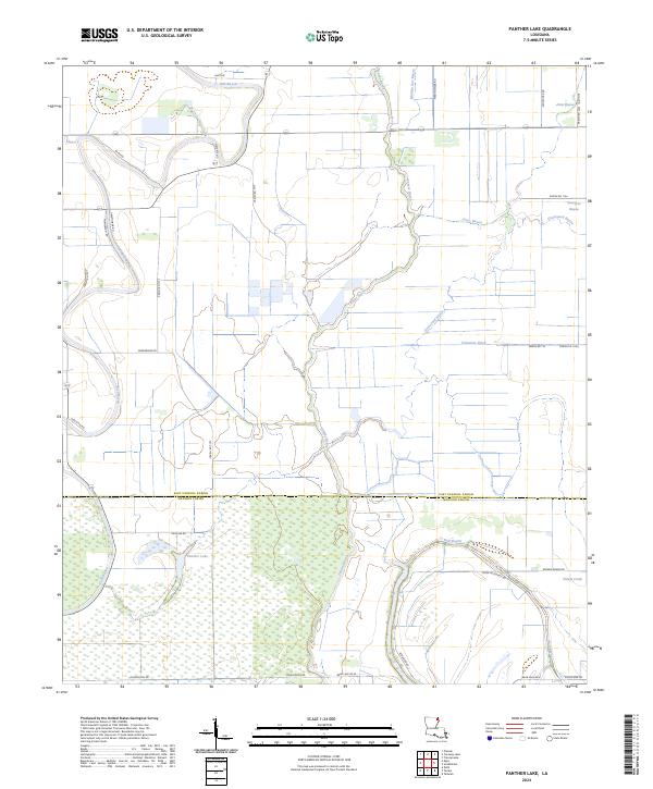
2024 Panther Lake
East Carroll Parish, LA
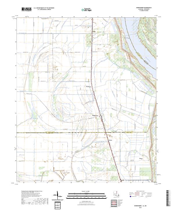
2024 Sondheimer
East Carroll Parish, LA
2024 Transylvania
East Carroll Parish, LA