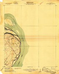
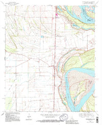
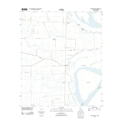
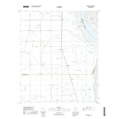
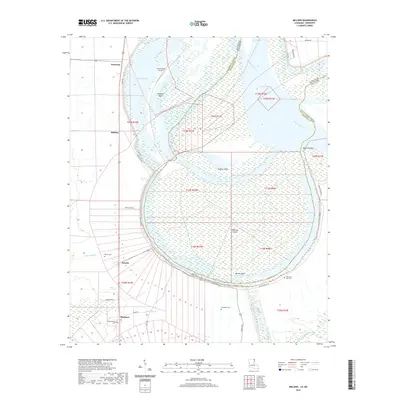
1909 Map of Wilsons Point
USGS Topo · Published 1909About this map
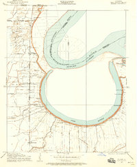
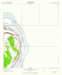
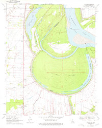
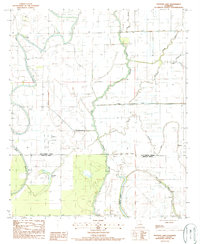
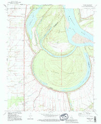
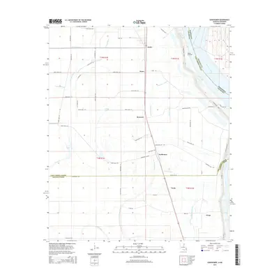
Mississippi River alluvial lands dominate this 1909 survey of East Carroll Parish, showing a landscape defined by the shifting course of the water and the protective levees that governed life along the bank. The map centers on the community of Wilsons Point, situated on a prominent bend where the Louisiana Mississippi Boundary Line follows the mid-channel flow. A distinctive landform, Wilson Point, is tucked within the river's curve, flanked by the horseshoe-shaped Wilsons Point Lake, which likely marks an older meander cutoff.
Find a feature on this map
7 named features on this map. Tap any name to fly to it.
Don’t see what you’re looking for? This feature index may not catch every label — zoom into the map to look around manually.
Map Details
Editions of this 1909 Wilsons Point Map
2 editions found
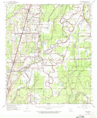
Historical Maps of Mayersville Through Time
46 maps found

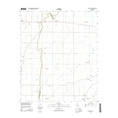
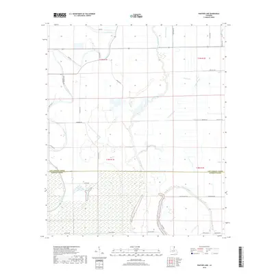
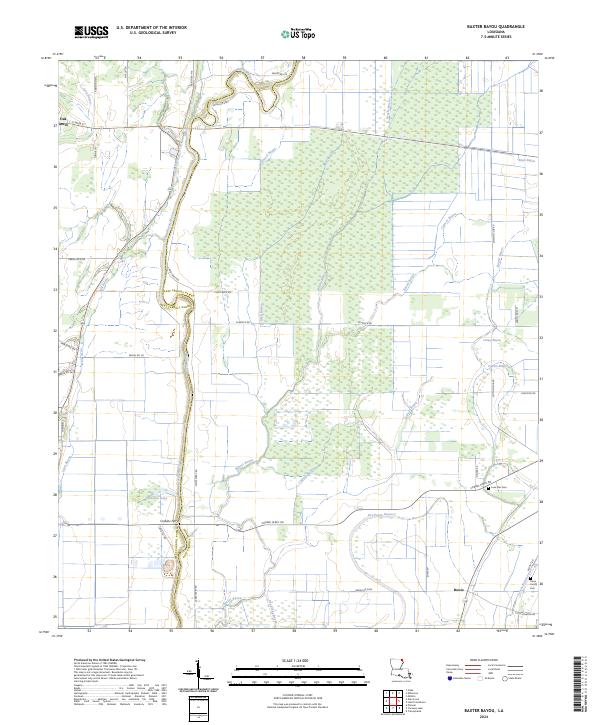
1909 Baxter Bayou
East Carroll Parish, LA
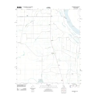
1909 Millikin
East Carroll Parish, LA
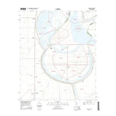
1909 Wilson Point
East Carroll Parish, LA

1911 Baxter Bayou
East Carroll Parish, LA

1913 Wilson Point
East Carroll Parish, LA

1914 Baxter Bayou
East Carroll Parish, LA
1959 Mitchiner
East Carroll Parish, LA
1970 Millikin
East Carroll Parish, LA
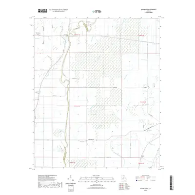
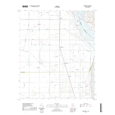
1970 Sondheimer
East Carroll Parish, LA
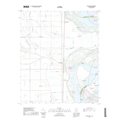
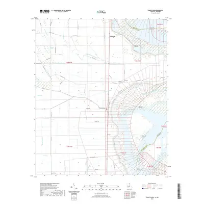
1970 Transylvania
East Carroll Parish, LA
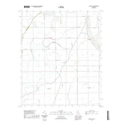
1986 Caraway Lake
East Carroll Parish, LA
1987 Panther Lake
East Carroll Parish, LA
1988 Baxter Bayou
East Carroll Parish, LA
1994 Millikin
East Carroll Parish, LA
1994 Sondheimer
East Carroll Parish, LA
1994 Transylvania
East Carroll Parish, LA
2012 Baxter Bayou
East Carroll Parish, LA

2012 Caraway Lake
East Carroll Parish, LA
2012 Millikin
East Carroll Parish, LA
2012 Panther Lake
East Carroll Parish, LA
2012 Sondheimer
East Carroll Parish, LA
2012 Transylvania
East Carroll Parish, LA
2015 Baxter Bayou
East Carroll Parish, LA

2015 Caraway Lake
East Carroll Parish, LA
2015 Millikin
East Carroll Parish, LA

2015 Panther Lake
East Carroll Parish, LA
2015 Sondheimer
East Carroll Parish, LA
2015 Transylvania
East Carroll Parish, LA
2018 Baxter Bayou
East Carroll Parish, LA

2018 Caraway Lake
East Carroll Parish, LA
2018 Millikin
East Carroll Parish, LA
2018 Panther Lake
East Carroll Parish, LA
2018 Sondheimer
East Carroll Parish, LA
2018 Transylvania
East Carroll Parish, LA
2020 Baxter Bayou
East Carroll Parish, LA
2020 Caraway Lake
East Carroll Parish, LA
2020 Millikin
East Carroll Parish, LA

2020 Panther Lake
East Carroll Parish, LA
2020 Sondheimer
East Carroll Parish, LA
2020 Transylvania
East Carroll Parish, LA
2024 Baxter Bayou
East Carroll Parish, LA
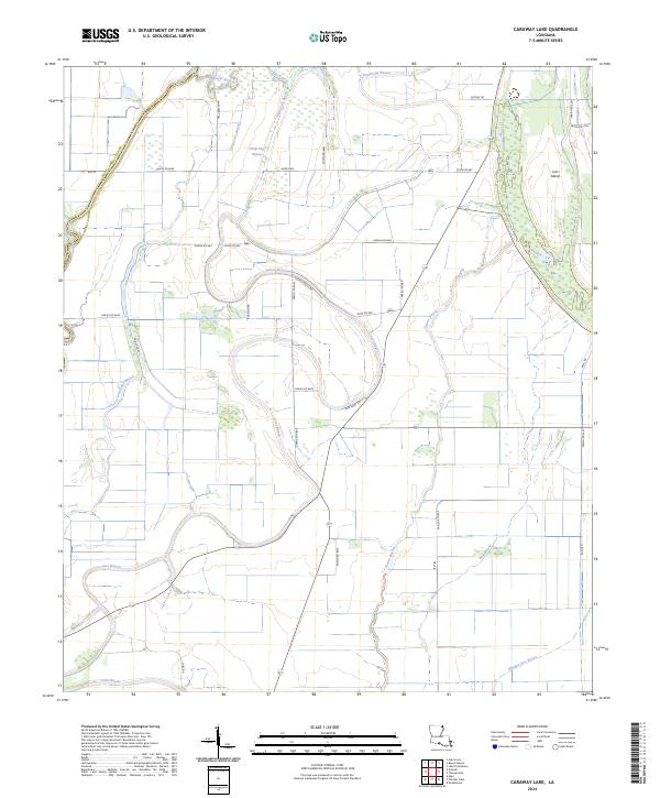
2024 Caraway Lake
East Carroll Parish, LA
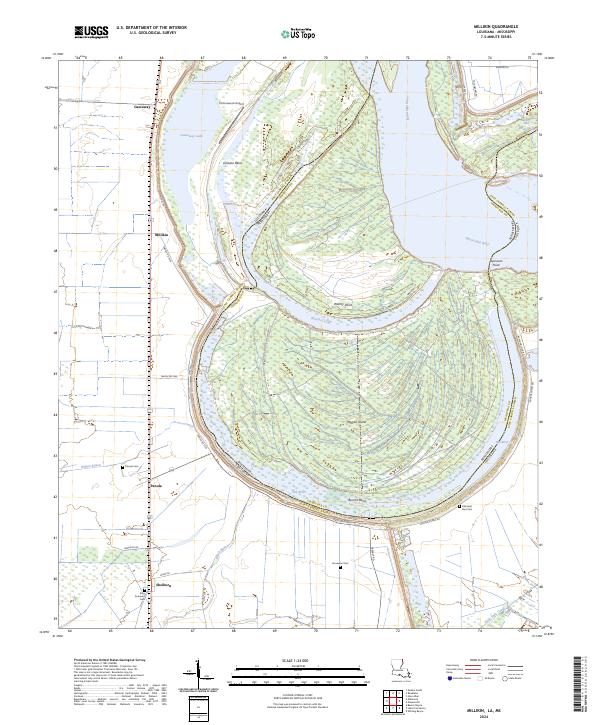
2024 Millikin
East Carroll Parish, LA
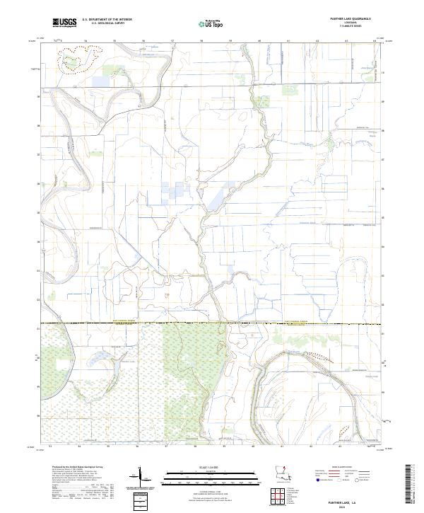
2024 Panther Lake
East Carroll Parish, LA
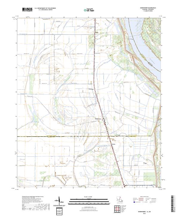
2024 Sondheimer
East Carroll Parish, LA
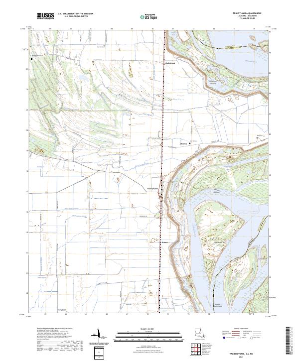
2024 Transylvania
East Carroll Parish, LA