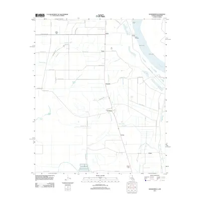
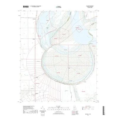
1909 Map of Wilson Point
USGS Topo · Published 1961About this map
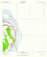
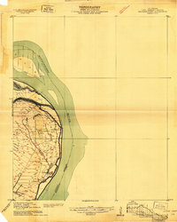
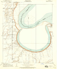
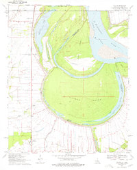
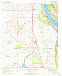
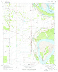
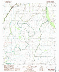
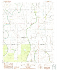
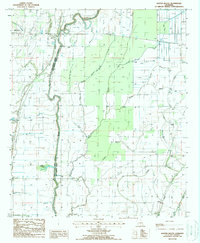
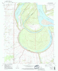
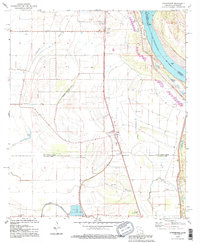
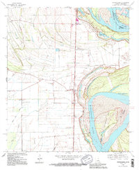
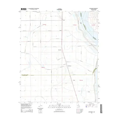
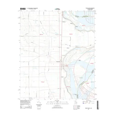
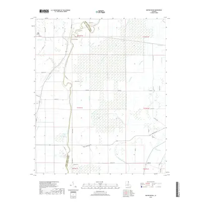
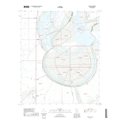
Mississippi River meanders define the landscape of East Carroll Parish in this detailed survey, conducted in cooperation with the Fifth Louisiana Levee District. The map captures the delicate topography of the alluvial plain, where the river's shifting course created distinctive features like Opossum Point and the enclosed Wilson Point Lake. Small riverside communities like Wilson Point and Cottonwood are documented alongside the Morning Star Church, providing a precise look at the settlement patterns that existed behind the levee system in the early twentieth century. This survey is a joint effort between the Mississippi River Commission and State Engineers, meticulously mapping the shoreline and the elevations between the river and the artificial levees that protect the surrounding farmland.
Find a feature on this map
9 named features on this map. Tap any name to fly to it.
Don’t see what you’re looking for? This feature index may not catch every label — zoom into the map to look around manually.
Map Details
Editions of this 1909 Wilson Point Map
2 editions found
Historical Maps of Mayersville Through Time
46 maps found

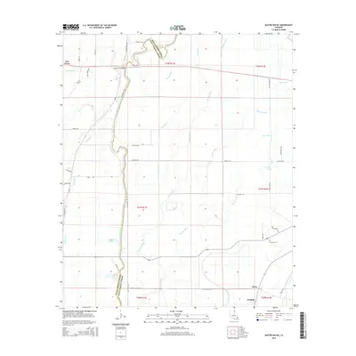
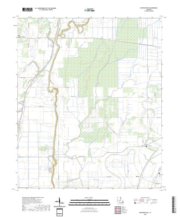
1909 Baxter Bayou
East Carroll Parish, LA
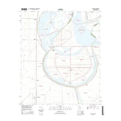
1909 Millikin
East Carroll Parish, LA
1909 Wilson Point
East Carroll Parish, LA

1911 Baxter Bayou
East Carroll Parish, LA

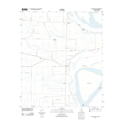
1913 Wilson Point
East Carroll Parish, LA

1914 Baxter Bayou
East Carroll Parish, LA
1959 Mitchiner
East Carroll Parish, LA
1970 Millikin
East Carroll Parish, LA
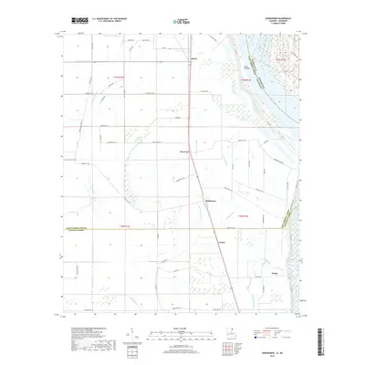
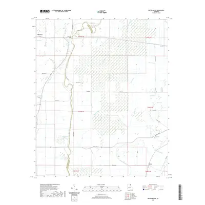
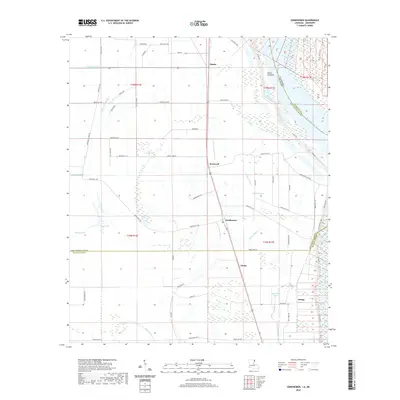
1970 Sondheimer
East Carroll Parish, LA
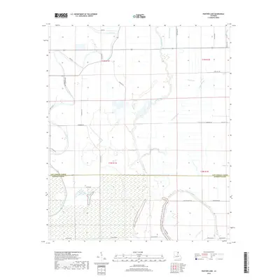
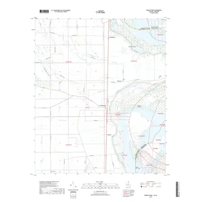
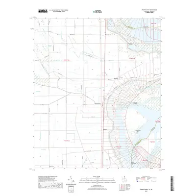
1970 Transylvania
East Carroll Parish, LA
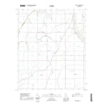
1986 Caraway Lake
East Carroll Parish, LA
1987 Panther Lake
East Carroll Parish, LA
1988 Baxter Bayou
East Carroll Parish, LA
1994 Millikin
East Carroll Parish, LA
1994 Sondheimer
East Carroll Parish, LA
1994 Transylvania
East Carroll Parish, LA
2012 Baxter Bayou
East Carroll Parish, LA

2012 Caraway Lake
East Carroll Parish, LA
2012 Millikin
East Carroll Parish, LA
2012 Panther Lake
East Carroll Parish, LA
2012 Sondheimer
East Carroll Parish, LA
2012 Transylvania
East Carroll Parish, LA
2015 Baxter Bayou
East Carroll Parish, LA

2015 Caraway Lake
East Carroll Parish, LA
2015 Millikin
East Carroll Parish, LA

2015 Panther Lake
East Carroll Parish, LA
2015 Sondheimer
East Carroll Parish, LA
2015 Transylvania
East Carroll Parish, LA
2018 Baxter Bayou
East Carroll Parish, LA

2018 Caraway Lake
East Carroll Parish, LA
2018 Millikin
East Carroll Parish, LA
2018 Panther Lake
East Carroll Parish, LA
2018 Sondheimer
East Carroll Parish, LA
2018 Transylvania
East Carroll Parish, LA
2020 Baxter Bayou
East Carroll Parish, LA
2020 Caraway Lake
East Carroll Parish, LA
2020 Millikin
East Carroll Parish, LA

2020 Panther Lake
East Carroll Parish, LA
2020 Sondheimer
East Carroll Parish, LA
2020 Transylvania
East Carroll Parish, LA
2024 Baxter Bayou
East Carroll Parish, LA
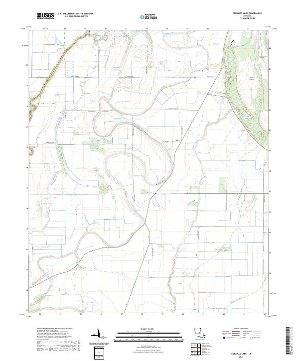
2024 Caraway Lake
East Carroll Parish, LA
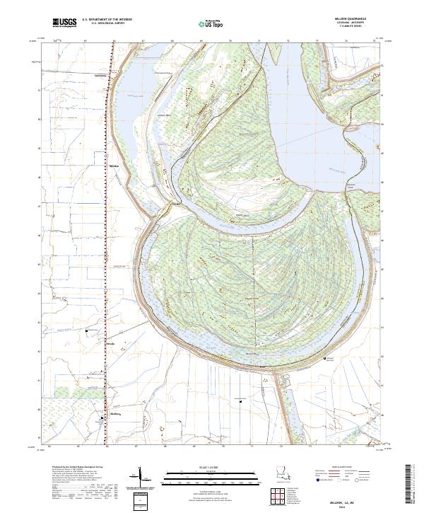
2024 Millikin
East Carroll Parish, LA
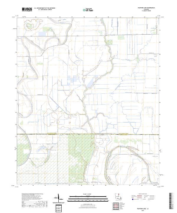
2024 Panther Lake
East Carroll Parish, LA
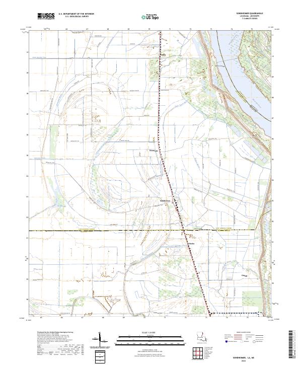
2024 Sondheimer
East Carroll Parish, LA
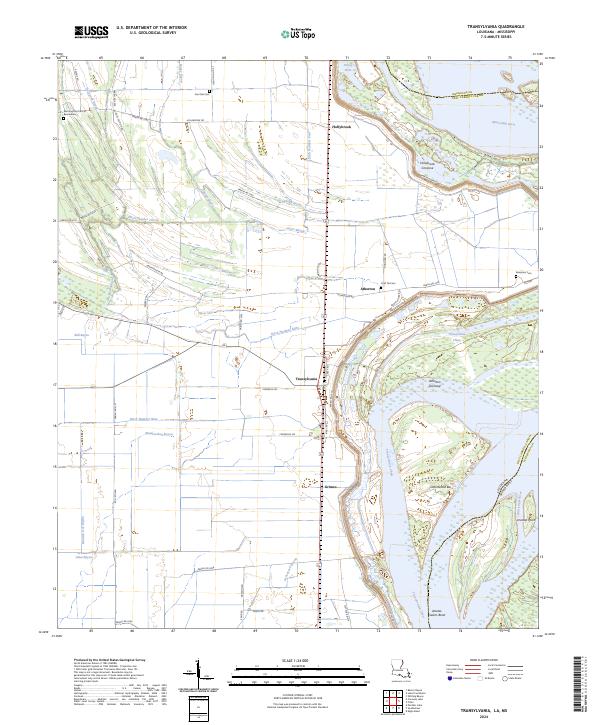
2024 Transylvania
East Carroll Parish, LA