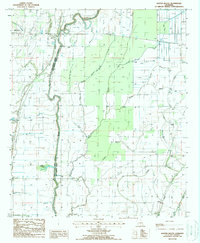
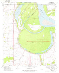
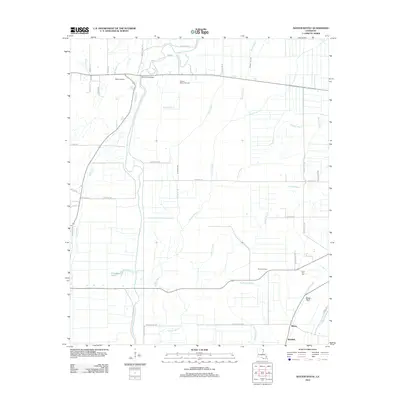
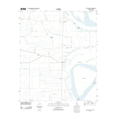
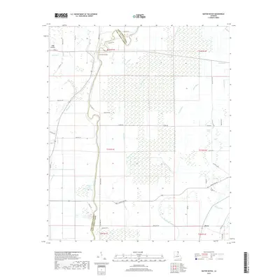
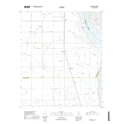
1988 Map of Baxter Bayou
USGS Topo · Published 1988About this map
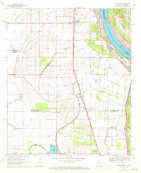
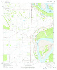
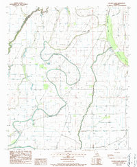
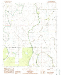
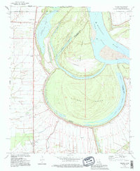
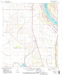
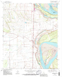
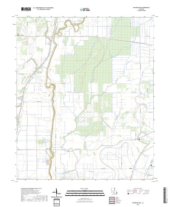
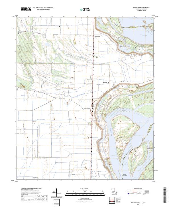
Macon Bayou defines the boundary between West Carroll and East Carroll parishes in this late 20th-century landscape. The terrain is characterized by a dense network of waterways and agricultural drainage, where Baxter Bayou and Brushy Bayou wind through low-lying areas. In the northwestern corner, the settlement of Oak Grove sits near the banks of Lyon Bayou, serving as a primary point of reference in an area otherwise dominated by field patterns and water management.
Find a feature on this map
23 named features on this map. Tap any name to fly to it.
Don’t see what you’re looking for? This feature index may not catch every label — zoom into the map to look around manually.
Map Details
Editions of this 1988 Baxter Bayou Map
This is the sole edition of this map. No revisions or reprints were ever made.
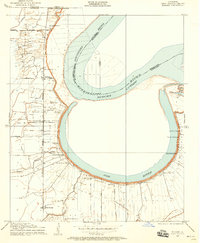
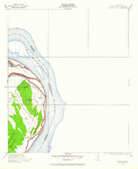
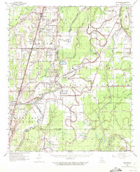
Historical Maps of Oak Grove Through Time
46 maps found

1909 Baxter Bayou
East Carroll Parish, LA
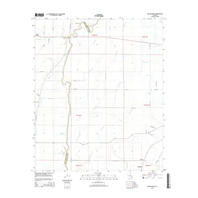
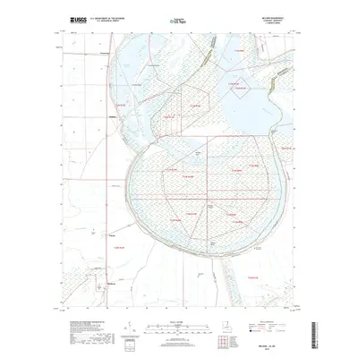
1909 Millikin
East Carroll Parish, LA
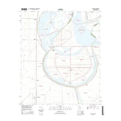
1909 Wilson Point
East Carroll Parish, LA

1911 Baxter Bayou
East Carroll Parish, LA

1913 Wilson Point
East Carroll Parish, LA

1914 Baxter Bayou
East Carroll Parish, LA
1959 Mitchiner
East Carroll Parish, LA
1970 Millikin
East Carroll Parish, LA
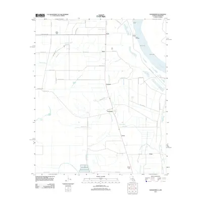
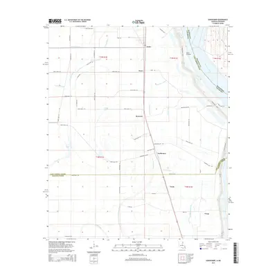
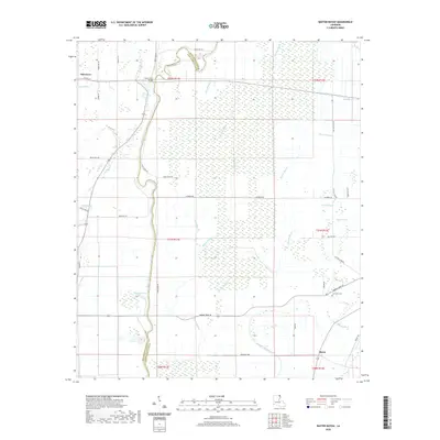
1970 Sondheimer
East Carroll Parish, LA
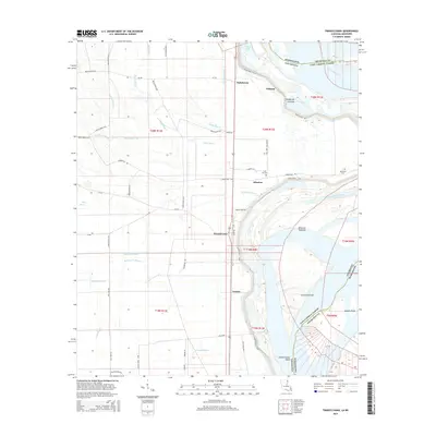
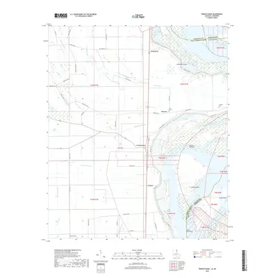
1970 Transylvania
East Carroll Parish, LA
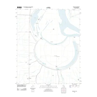
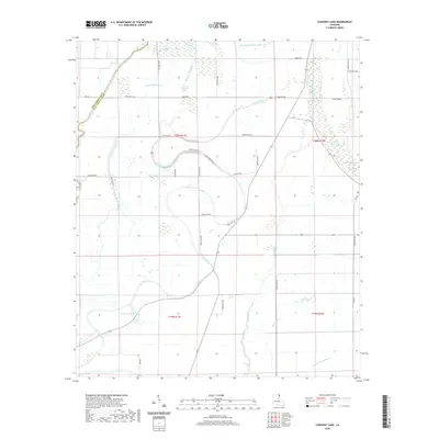
1986 Caraway Lake
East Carroll Parish, LA
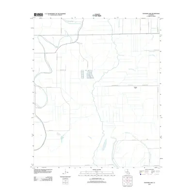
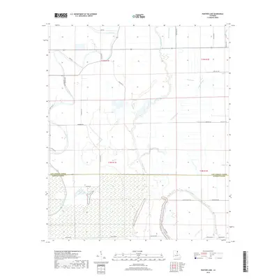
1987 Panther Lake
East Carroll Parish, LA
1988 Baxter Bayou
East Carroll Parish, LA
1994 Millikin
East Carroll Parish, LA
1994 Sondheimer
East Carroll Parish, LA
1994 Transylvania
East Carroll Parish, LA
2012 Baxter Bayou
East Carroll Parish, LA

2012 Caraway Lake
East Carroll Parish, LA
2012 Millikin
East Carroll Parish, LA
2012 Panther Lake
East Carroll Parish, LA
2012 Sondheimer
East Carroll Parish, LA
2012 Transylvania
East Carroll Parish, LA
2015 Baxter Bayou
East Carroll Parish, LA

2015 Caraway Lake
East Carroll Parish, LA
2015 Millikin
East Carroll Parish, LA

2015 Panther Lake
East Carroll Parish, LA
2015 Sondheimer
East Carroll Parish, LA
2015 Transylvania
East Carroll Parish, LA
2018 Baxter Bayou
East Carroll Parish, LA

2018 Caraway Lake
East Carroll Parish, LA
2018 Millikin
East Carroll Parish, LA
2018 Panther Lake
East Carroll Parish, LA
2018 Sondheimer
East Carroll Parish, LA
2018 Transylvania
East Carroll Parish, LA
2020 Baxter Bayou
East Carroll Parish, LA
2020 Caraway Lake
East Carroll Parish, LA
2020 Millikin
East Carroll Parish, LA

2020 Panther Lake
East Carroll Parish, LA
2020 Sondheimer
East Carroll Parish, LA
2020 Transylvania
East Carroll Parish, LA
2024 Baxter Bayou
East Carroll Parish, LA
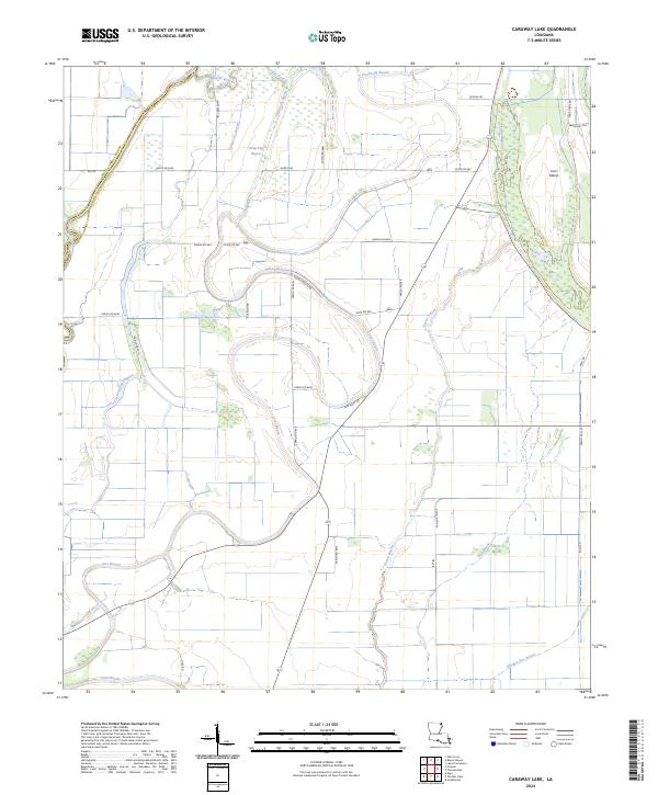
2024 Caraway Lake
East Carroll Parish, LA
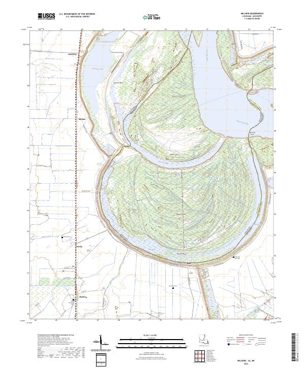
2024 Millikin
East Carroll Parish, LA
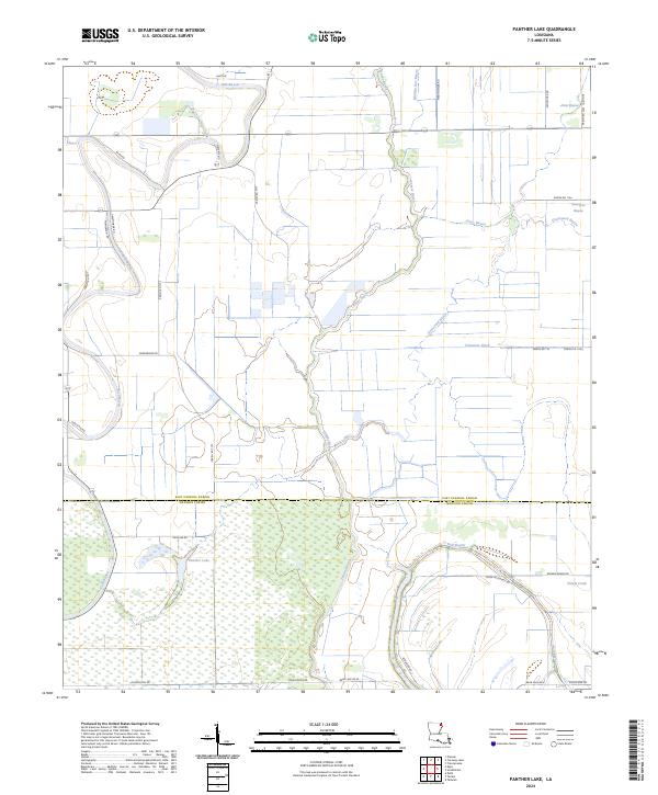
2024 Panther Lake
East Carroll Parish, LA
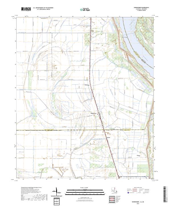
2024 Sondheimer
East Carroll Parish, LA
2024 Transylvania
East Carroll Parish, LA