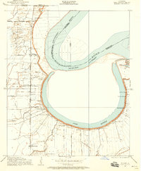
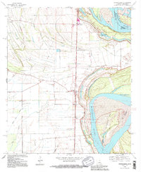
1909 Map of Millikin
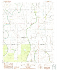
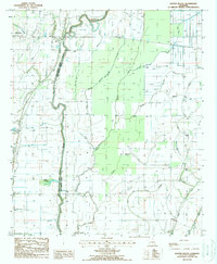
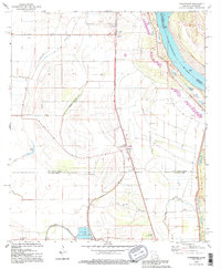
USGS Topo · Published 1958About this map
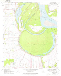
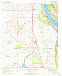
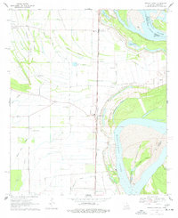
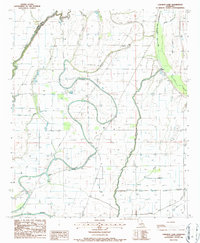
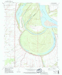
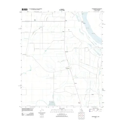
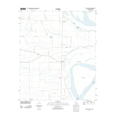
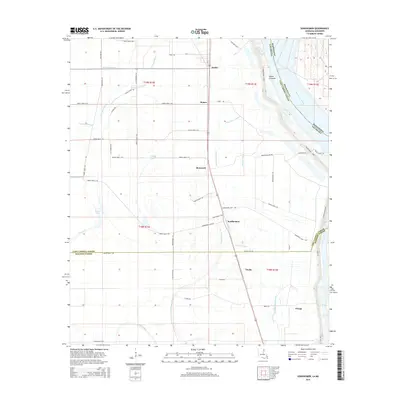
The Mississippi River Bunchs Cutoff and the sweeping curve of Old River dominate this 1909 survey of the Mississippi Delta, illustrating a landscape defined by the shifting course of the great waterway. The river-driven economy of East Carroll Parish is evident in the numerous riverside properties and landholdings, including Ashton Plantation, Gossypia Plantation, and Keys Plantation. These agricultural hubs are connected by the St. Louis Iron Mountain and Southern R. R., which runs parallel to the river through the village of Millikin.
Find a feature on this map
32 named features on this map. Tap any name to fly to it.
Don’t see what you’re looking for? This feature index may not catch every label — zoom into the map to look around manually.
Map Details
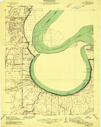
Editions of this 1909 Millikin Map
2 editions found
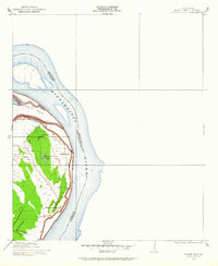
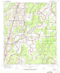
Historical Maps of Millikin Through Time
46 maps found

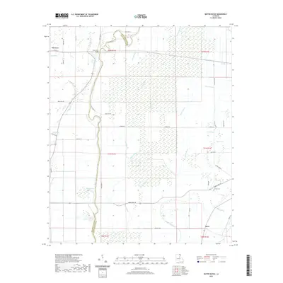
1909 Baxter Bayou
East Carroll Parish, LA
1909 Millikin
East Carroll Parish, LA
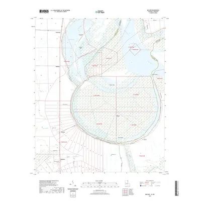
1909 Wilson Point
East Carroll Parish, LA

1911 Baxter Bayou
East Carroll Parish, LA

1913 Wilson Point
East Carroll Parish, LA

1914 Baxter Bayou
East Carroll Parish, LA
1959 Mitchiner
East Carroll Parish, LA
1970 Millikin
East Carroll Parish, LA
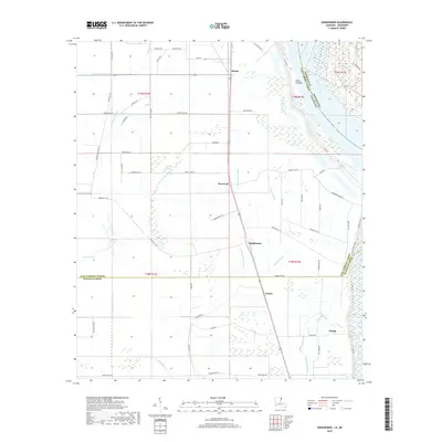
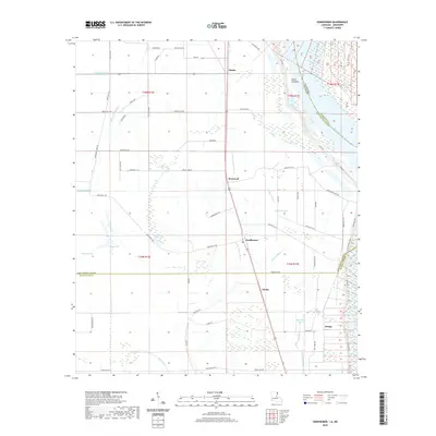
1970 Sondheimer
East Carroll Parish, LA
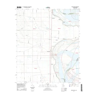
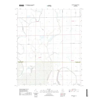
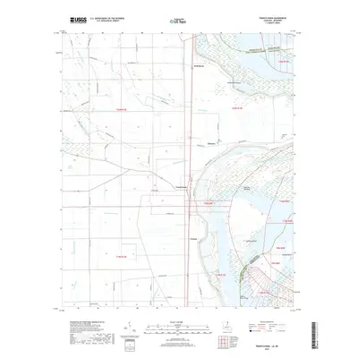
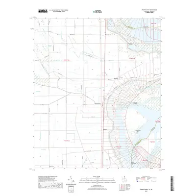
1970 Transylvania
East Carroll Parish, LA
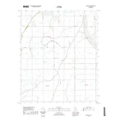
1986 Caraway Lake
East Carroll Parish, LA
1987 Panther Lake
East Carroll Parish, LA
1988 Baxter Bayou
East Carroll Parish, LA
1994 Millikin
East Carroll Parish, LA
1994 Sondheimer
East Carroll Parish, LA
1994 Transylvania
East Carroll Parish, LA
2012 Baxter Bayou
East Carroll Parish, LA

2012 Caraway Lake
East Carroll Parish, LA
2012 Millikin
East Carroll Parish, LA
2012 Panther Lake
East Carroll Parish, LA
2012 Sondheimer
East Carroll Parish, LA
2012 Transylvania
East Carroll Parish, LA
2015 Baxter Bayou
East Carroll Parish, LA

2015 Caraway Lake
East Carroll Parish, LA
2015 Millikin
East Carroll Parish, LA

2015 Panther Lake
East Carroll Parish, LA
2015 Sondheimer
East Carroll Parish, LA
2015 Transylvania
East Carroll Parish, LA
2018 Baxter Bayou
East Carroll Parish, LA

2018 Caraway Lake
East Carroll Parish, LA
2018 Millikin
East Carroll Parish, LA
2018 Panther Lake
East Carroll Parish, LA
2018 Sondheimer
East Carroll Parish, LA
2018 Transylvania
East Carroll Parish, LA
2020 Baxter Bayou
East Carroll Parish, LA
2020 Caraway Lake
East Carroll Parish, LA
2020 Millikin
East Carroll Parish, LA

2020 Panther Lake
East Carroll Parish, LA
2020 Sondheimer
East Carroll Parish, LA
2020 Transylvania
East Carroll Parish, LA
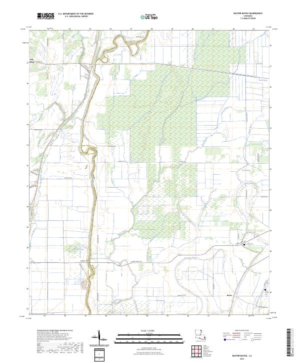
2024 Baxter Bayou
East Carroll Parish, LA
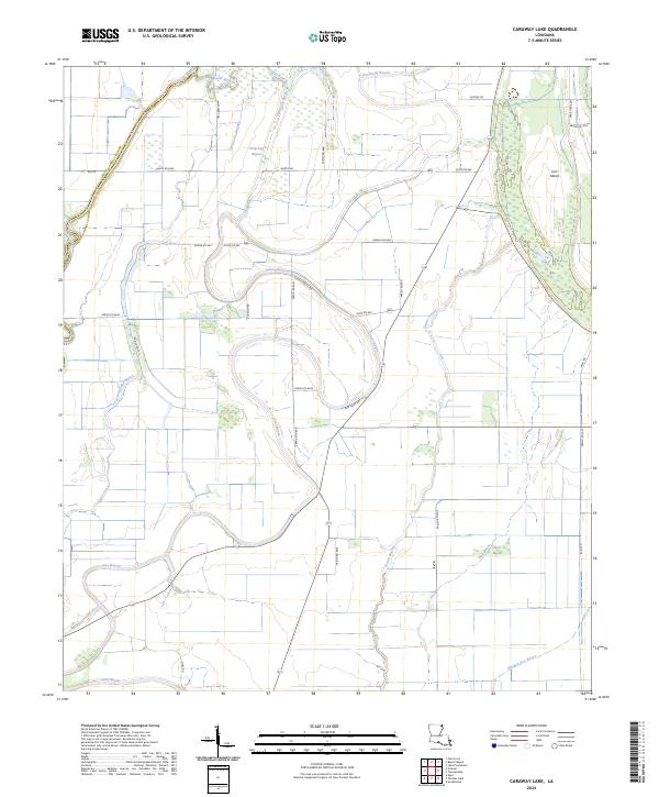
2024 Caraway Lake
East Carroll Parish, LA
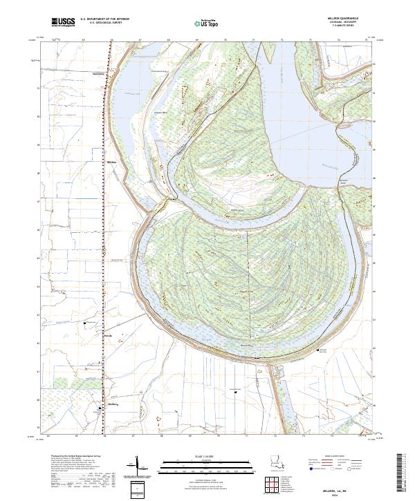
2024 Millikin
East Carroll Parish, LA
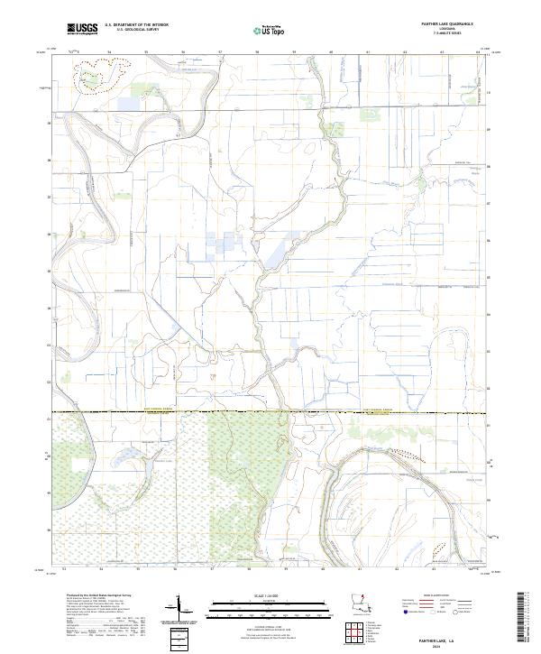
2024 Panther Lake
East Carroll Parish, LA
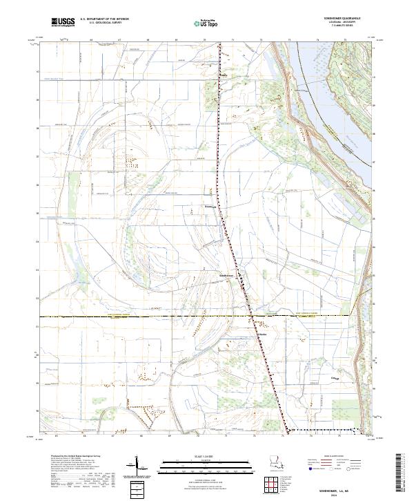
2024 Sondheimer
East Carroll Parish, LA
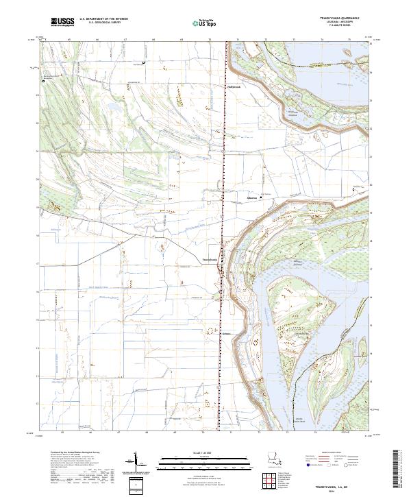
2024 Transylvania
East Carroll Parish, LA