
1939 Map of Swan Lake
USGS Topo · Published 1966About this map
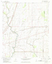
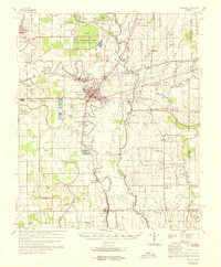
Leroy Percy State Park serves as a focal point in this landscape of the Mississippi Delta, where the meandering course of Deer Creek and Black Bayou dictates the placement of early 20th-century settlements. This survey by the Corps of Engineers documents a region defined by its complex drainage and agricultural infrastructure, featuring the Mississippi Valley (Central Illinois) railroad line connecting numerous small communities. Notable for its archaeological presence, the map identifies several Indian Mounds and an Indian Mound scattered near Hollandale and Panther Burn. The transition between Washington County and Sharkey County is marked by a network of bayous and oxbow features like Swan Lake and Moon Lake. Cultural landmarks including Rosehill Ch and Little Rock Ch provide vital points of reference for genealogists tracing family roots near plantations and whistle-stops such as Nitta Yuma and Estill.
Find a feature on this map
53 named features on this map. Tap any name to fly to it.
Don’t see what you’re looking for? This feature index may not catch every label — zoom into the map to look around manually.
Map Details
Editions of this 1939 Swan Lake Map
This is the sole edition of this map. No revisions or reprints were ever made.
Historical Maps of Hollandale Through Time
42 maps found
1939 Swan Lake
Washington County, MS

1939 Tralake
Washington County, MS
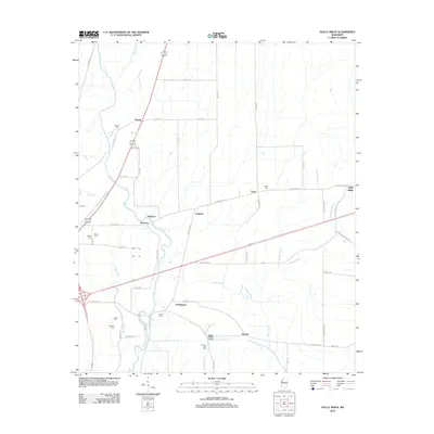
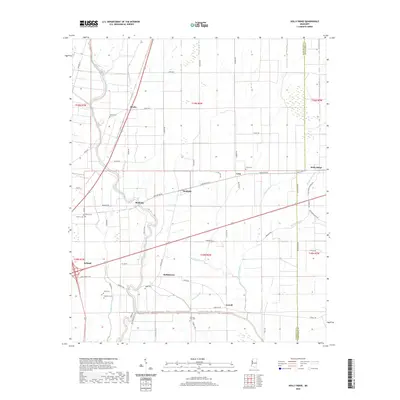
1967 Holly Ridge
Washington County, MS
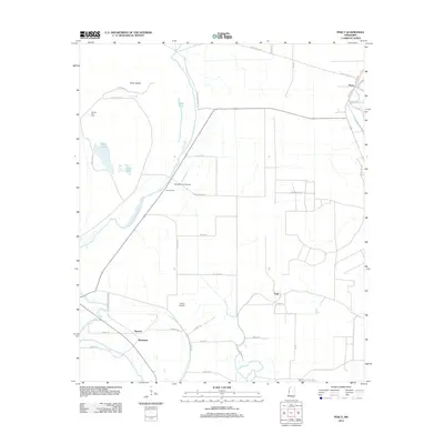
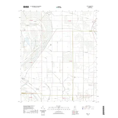
1967 Percy
Washington County, MS
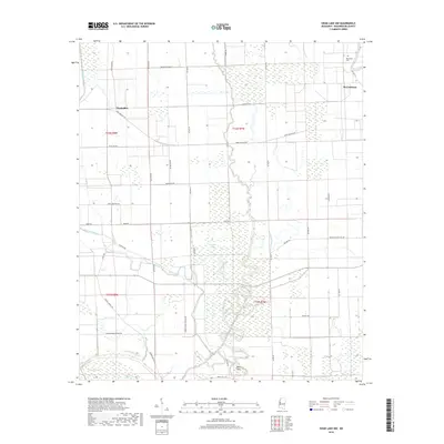
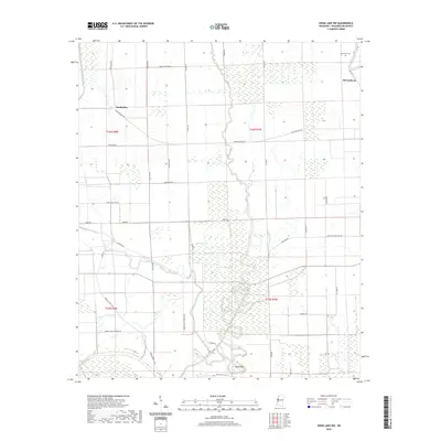
1967 Swan Lake NW
Washington County, MS

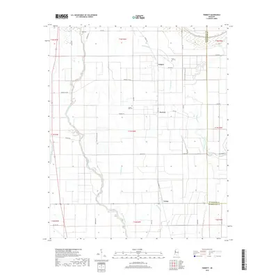
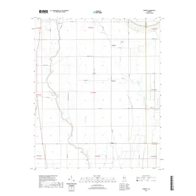
1967 Tribbett
Washington County, MS
1969 Swan Lake
Washington County, MS
1969 Tralake
Washington County, MS
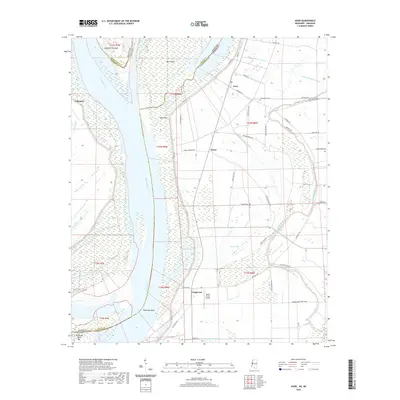
1970 Avon
Washington County, MS
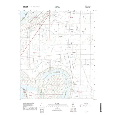
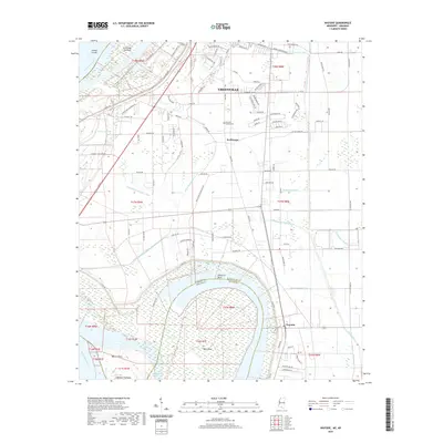
1970 Wayside
Washington County, MS
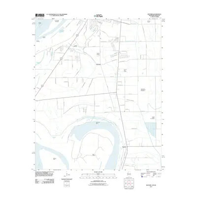
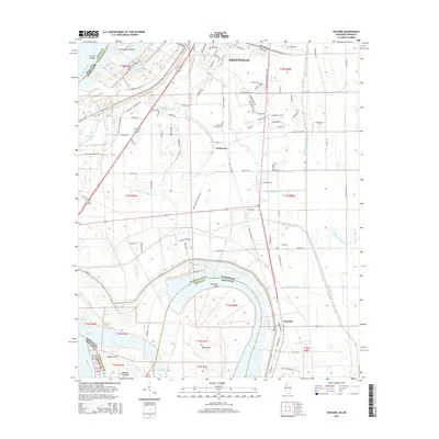
2011 Avon
Washington County, MS
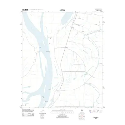
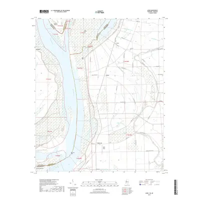
2011 Wayside
Washington County, MS
2012 Avon
Washington County, MS
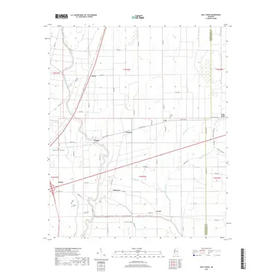
2012 Holly Ridge
Washington County, MS
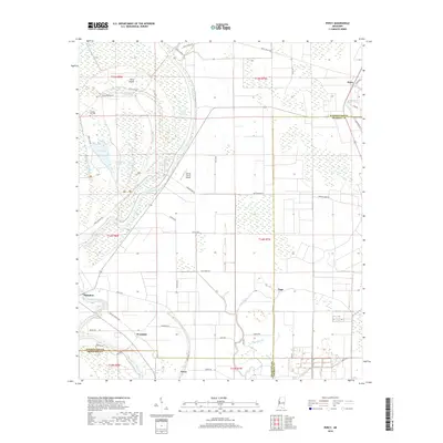
2012 Percy
Washington County, MS
2012 Swan Lake NW
Washington County, MS
2012 Tribbett
Washington County, MS
2012 Wayside
Washington County, MS
2015 Avon
Washington County, MS
2015 Holly Ridge
Washington County, MS
2015 Percy
Washington County, MS
2015 Swan Lake NW
Washington County, MS
2015 Tribbett
Washington County, MS
2015 Wayside
Washington County, MS
2018 Avon
Washington County, MS
2018 Holly Ridge
Washington County, MS
2018 Percy
Washington County, MS
2018 Swan Lake NW
Washington County, MS
2018 Tribbett
Washington County, MS
2018 Wayside
Washington County, MS
2020 Avon
Washington County, MS
2020 Holly Ridge
Washington County, MS
2020 Percy
Washington County, MS
2020 Swan Lake NW
Washington County, MS
2020 Tribbett
Washington County, MS
2020 Wayside
Washington County, MS
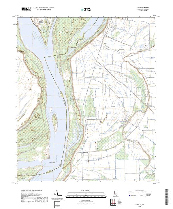
2024 Avon
Washington County, MS
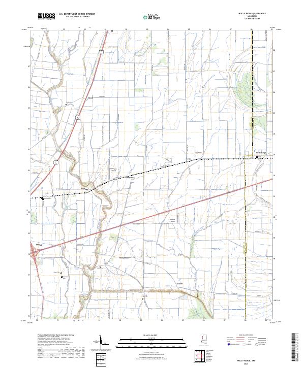
2024 Holly Ridge
Washington County, MS
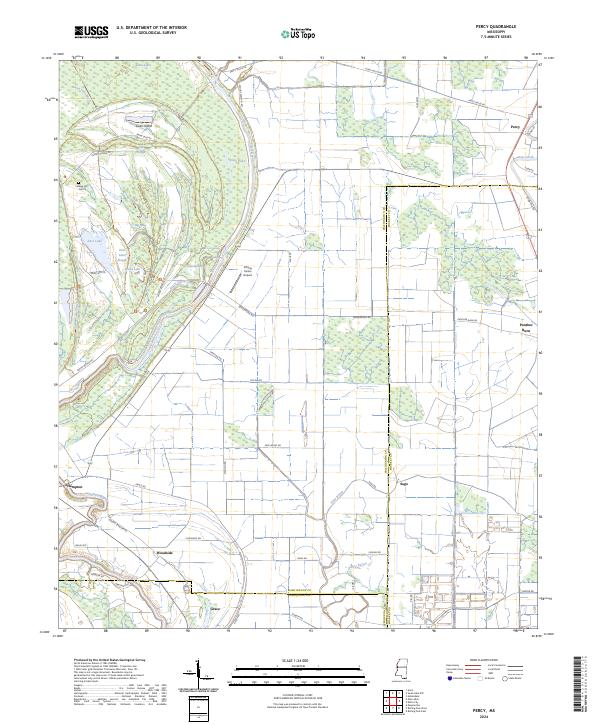
2024 Percy
Washington County, MS
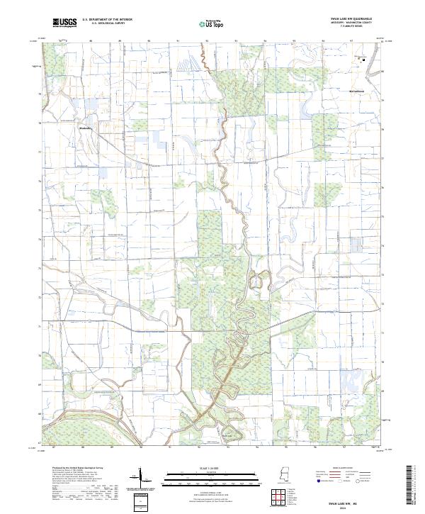
2024 Swan Lake NW
Washington County, MS
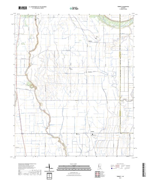
2024 Tribbett
Washington County, MS
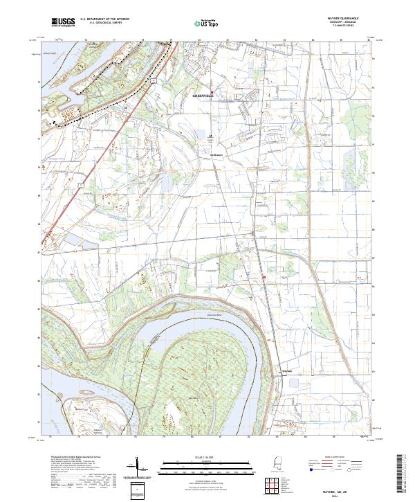
2024 Wayside
Washington County, MS