
1940 Map of Auter
USGS Topo · Published 1941About this map
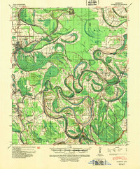
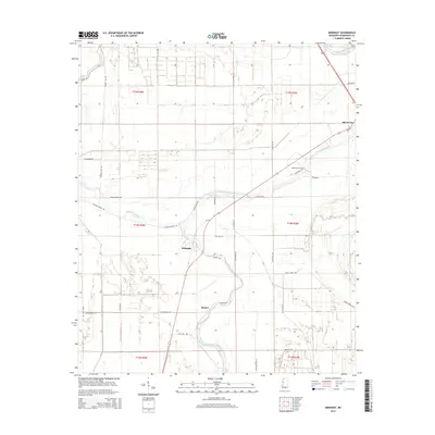
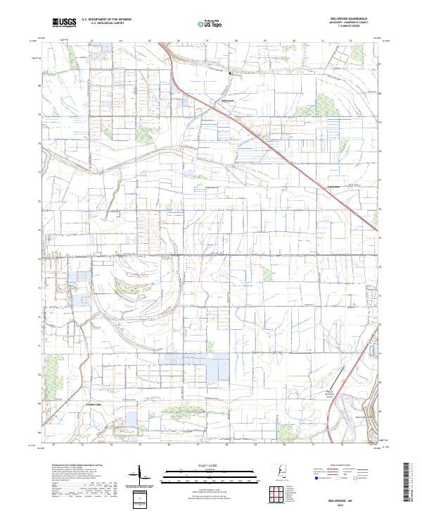
The Big Sunflower River and Yazoo River frame a delta landscape defined by an intricate network of waterways and landings in the early 1940s. This survey, revised by the Mississippi River Commission, reveals the critical role of river transport through numerous named landings such as Hughey Point Ldg, Story Ldg, and New Haywood Ldg. The interior is crisscrossed by an extensive drainage system, including Main Ditch and Ditch No 36, which supported the agricultural development of large holdings like Daybreak Plantation.
Find a feature on this map
97 named features on this map. Tap any name to fly to it.
Don’t see what you’re looking for? This feature index may not catch every label — zoom into the map to look around manually.
Map Details
Editions of this 1940 Auter Map
This is the sole edition of this map. No revisions or reprints were ever made.
Historical Maps of Silver City Through Time
22 maps found
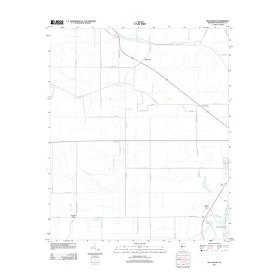
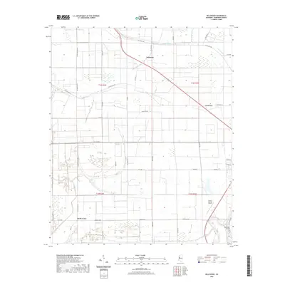
1940 Auter
Humphreys County, MS
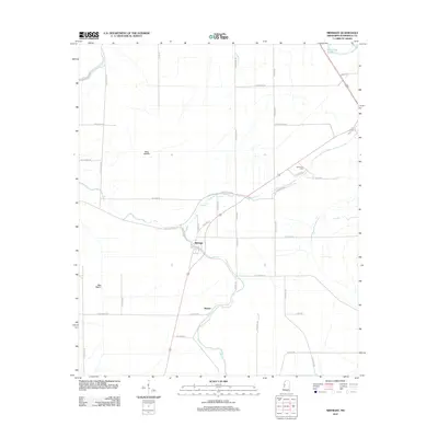
1940 Mileston
Humphreys County, MS

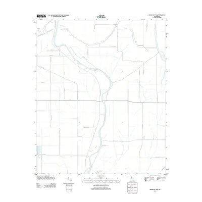
1954 Mileston
Humphreys County, MS
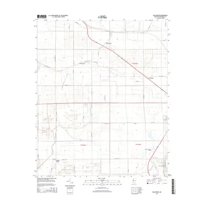
1965 Bellewood
Humphreys County, MS
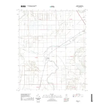
1965 Midnight
Humphreys County, MS

1965 Midnight NW
Humphreys County, MS
1967 Auter
Humphreys County, MS
2012 Bellewood
Humphreys County, MS
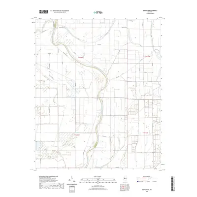
2012 Midnight
Humphreys County, MS
2012 Midnight NW
Humphreys County, MS
2015 Bellewood
Humphreys County, MS
2015 Midnight
Humphreys County, MS
2015 Midnight NW
Humphreys County, MS

2018 Bellewood
Humphreys County, MS
2018 Midnight
Humphreys County, MS
2018 Midnight NW
Humphreys County, MS
2020 Bellewood
Humphreys County, MS
2020 Midnight
Humphreys County, MS
2020 Midnight NW
Humphreys County, MS
2024 Bellewood
Humphreys County, MS
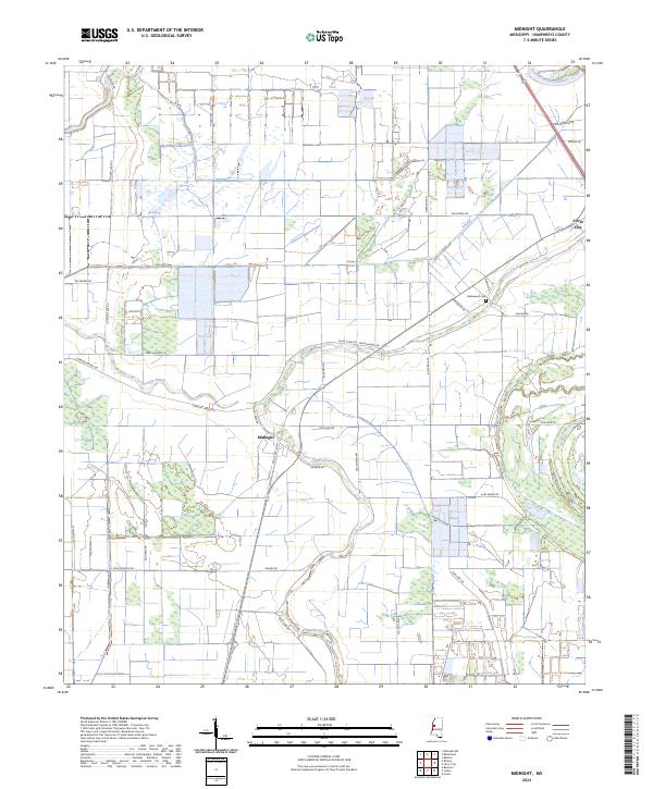
2024 Midnight
Humphreys County, MS
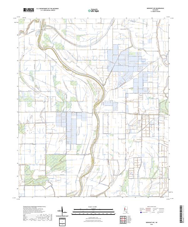
2024 Midnight NW
Humphreys County, MS