
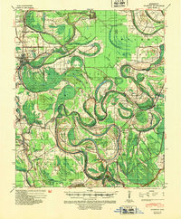
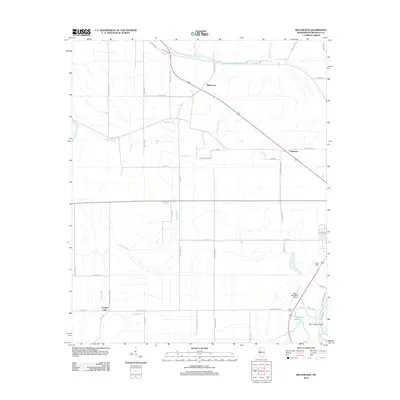
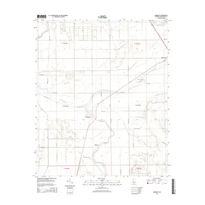
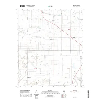
1954 Map of Mileston
USGS Topo · Published 1954About this map
Jaketown and the surrounding Yazoo River basin represent a landscape defined by water and engineering in the mid-1950s. The meandering Yazoo River dominates the center of the sheet, flanked by a complex system of flood control measures including the Famosla Cut-Off and the Belle Prairie Cut-Off. This area is rich with historical evidence of early habitation and development, featuring Indian Mounds near the riverbanks and a dense network of small rural communities like Deovolente and Pluto. The transition from river-dependent life to rail connectivity is visible along the Illinois Central corridor, which links the more established towns of Belzoni and Silver City. Numerous churches and schools, such as the Macedonia Ch & Sch and King David Ch & Sch, underscore the tightly-knit social fabric of these Delta settlements during an era of significant levee and drainage work.
Find a feature on this map
104 named features on this map. Tap any name to fly to it.
Don’t see what you’re looking for? This feature index may not catch every label — zoom into the map to look around manually.
Map Details
Editions of this 1954 Mileston Map
This is the sole edition of this map. No revisions or reprints were ever made.
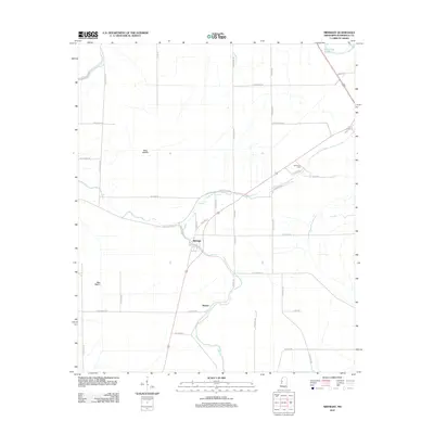
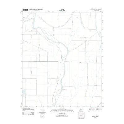
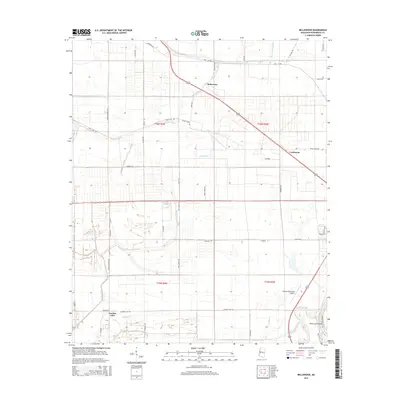
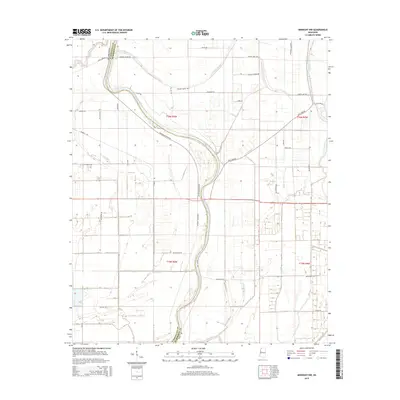
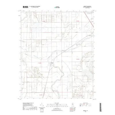
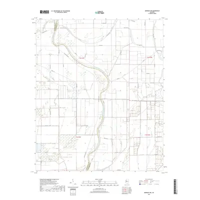
Historical Maps of Belzoni Through Time
22 maps found

1940 Auter
Humphreys County, MS
1940 Mileston
Humphreys County, MS
1954 Mileston
Humphreys County, MS
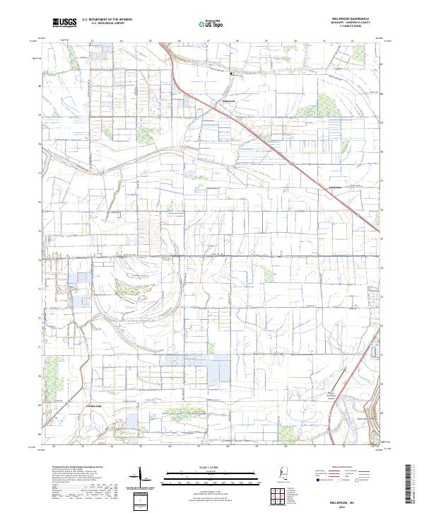
1965 Bellewood
Humphreys County, MS
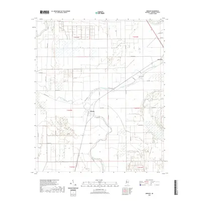
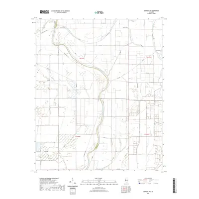
1965 Midnight
Humphreys County, MS

1965 Midnight NW
Humphreys County, MS
1967 Auter
Humphreys County, MS
2012 Bellewood
Humphreys County, MS
2012 Midnight
Humphreys County, MS
2012 Midnight NW
Humphreys County, MS
2015 Bellewood
Humphreys County, MS
2015 Midnight
Humphreys County, MS
2015 Midnight NW
Humphreys County, MS

2018 Bellewood
Humphreys County, MS
2018 Midnight
Humphreys County, MS
2018 Midnight NW
Humphreys County, MS
2020 Bellewood
Humphreys County, MS
2020 Midnight
Humphreys County, MS
2020 Midnight NW
Humphreys County, MS
2024 Bellewood
Humphreys County, MS
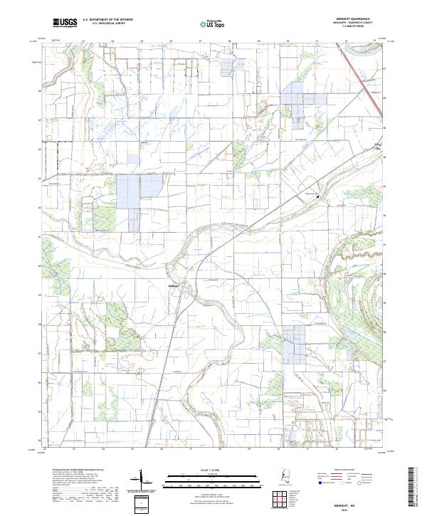
2024 Midnight
Humphreys County, MS
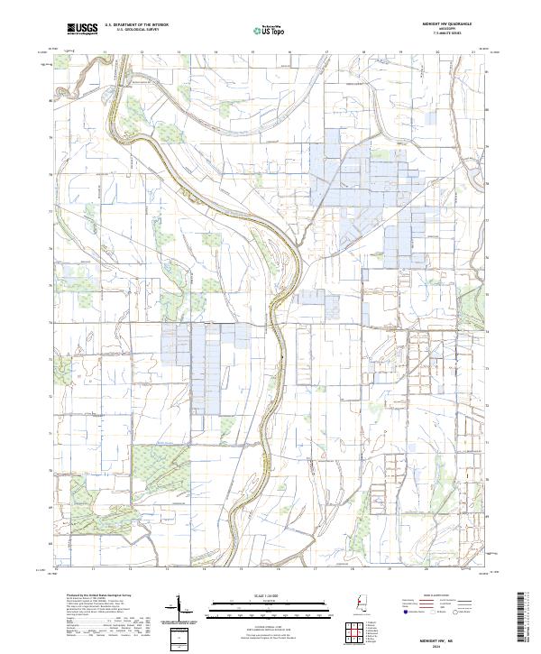
2024 Midnight NW
Humphreys County, MS