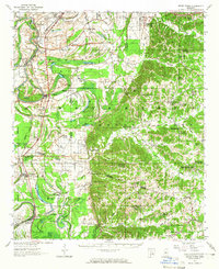
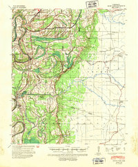
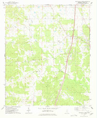
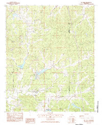
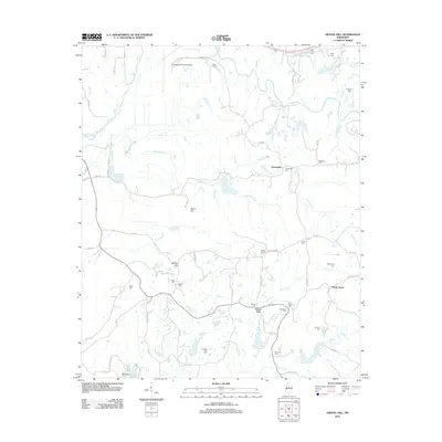
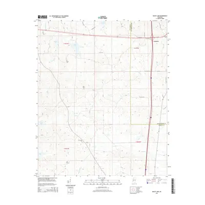
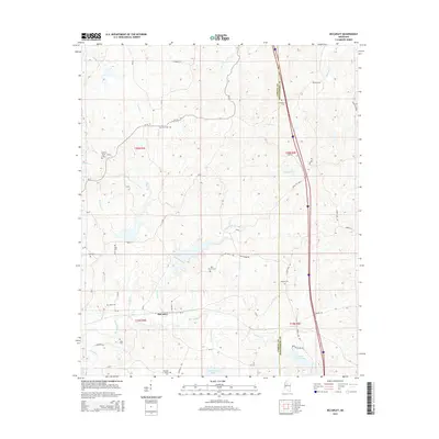
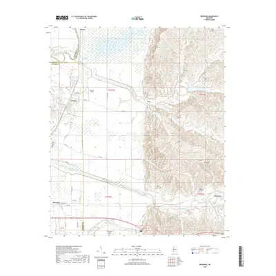
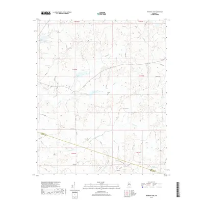
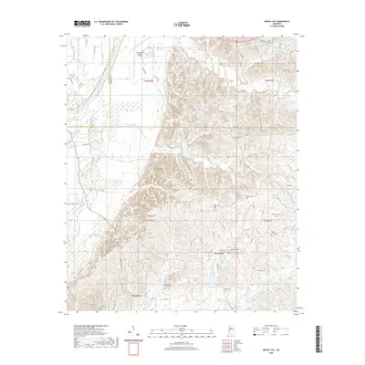
1957 Map of Seven Pines
USGS Topo · Published 1965About this map
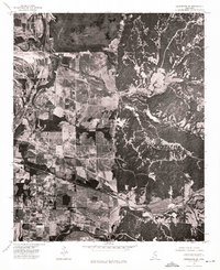
Leflore County and Carroll County converge in this mid-century landscape where the winding Yazoo River and its numerous oxbows, such as Roebuck Lake and Fish Lake, define the western alluvial plain. The Illinois Central railroad serves as a primary transit spine, connecting river settlements like Sidon and Cruger with the surrounding agricultural territory. To the east, the terrain rises into the loess bluffs, characterized by a high density of rural congregation points and burial grounds, including the Centerville Ch & Cem and Shiloh Ch & Cem. One of the most striking elements is the Greenwood Air Base (Abandoned) in the north, showing the decommissioned military footprint near Rising Sun. This area is rich in evidence of deep history, from Indian Mounds near the river to the network of family-named landmarks like Gorden Chapel Ch and Keirn.
Find a feature on this map
107 named features on this map. Tap any name to fly to it.
Don’t see what you’re looking for? This feature index may not catch every label — zoom into the map to look around manually.
Map Details
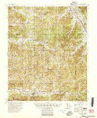
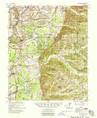
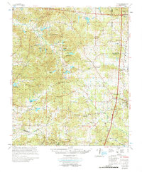
Editions of this 1957 Seven Pines Map
This is the sole edition of this map. No revisions or reprints were ever made.
Historical Maps of Greenwood Through Time
48 maps found
1940 Seven Pines
Carroll County, MS
1954 McCarley
Carroll County, MS
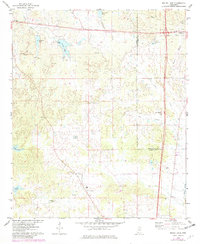
1957 Seven Pines
Carroll County, MS
1958 Seven Pines
Carroll County, MS
1974 Greenwood SE
Carroll County, MS
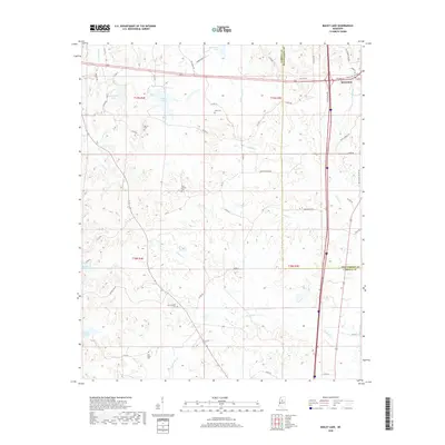
1975 Bailey Lake
Carroll County, MS
1975 Coila
Carroll County, MS
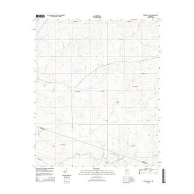
1975 Murdock Lake
Carroll County, MS
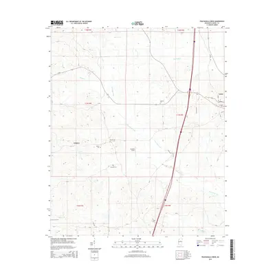
1975 Peachahala Creek
Carroll County, MS
1978 Coila
Carroll County, MS
1982 Browning
Carroll County, MS
1982 Gravel Hill
Carroll County, MS
1983 McCarley
Carroll County, MS
2012 Bailey Lake
Carroll County, MS
2012 Browning
Carroll County, MS
2012 Coila
Carroll County, MS
2012 Gravel Hill
Carroll County, MS
2012 McCarley
Carroll County, MS
2012 Murdock Lake
Carroll County, MS
2012 Peachahala Creek
Carroll County, MS
2015 Bailey Lake
Carroll County, MS
2015 Browning
Carroll County, MS
2015 Coila
Carroll County, MS
2015 Gravel Hill
Carroll County, MS
2015 McCarley
Carroll County, MS
2015 Murdock Lake
Carroll County, MS
2015 Peachahala Creek
Carroll County, MS
2018 Bailey Lake
Carroll County, MS
2018 Browning
Carroll County, MS
2018 Coila
Carroll County, MS
2018 Gravel Hill
Carroll County, MS
2018 McCarley
Carroll County, MS
2018 Murdock Lake
Carroll County, MS
2018 Peachahala Creek
Carroll County, MS
2020 Bailey Lake
Carroll County, MS
2020 Coila
Carroll County, MS
2020 Gravel Hill
Carroll County, MS
2020 McCarley
Carroll County, MS
2020 Murdock Lake
Carroll County, MS
2020 Peachahala Creek
Carroll County, MS

2021 Browning
Carroll County, MS
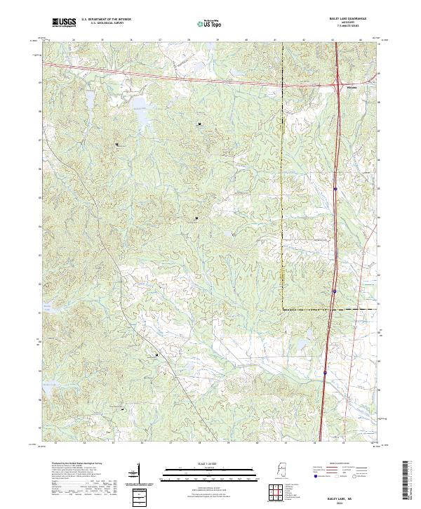
2024 Bailey Lake
Carroll County, MS
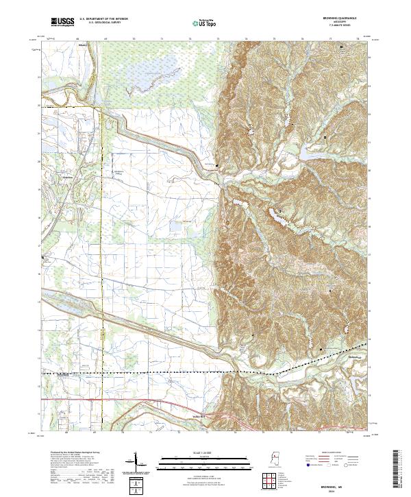
2024 Browning
Carroll County, MS
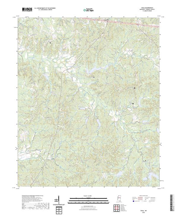
2024 Coila
Carroll County, MS
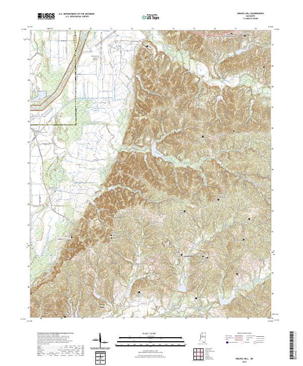
2024 Gravel Hill
Carroll County, MS
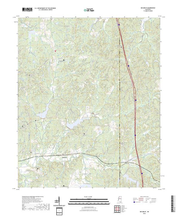
2024 McCarley
Carroll County, MS
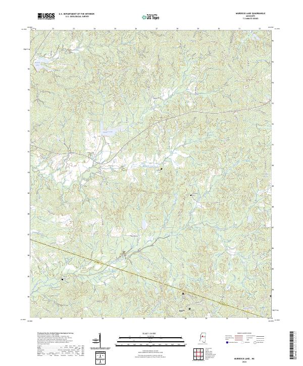
2024 Murdock Lake
Carroll County, MS
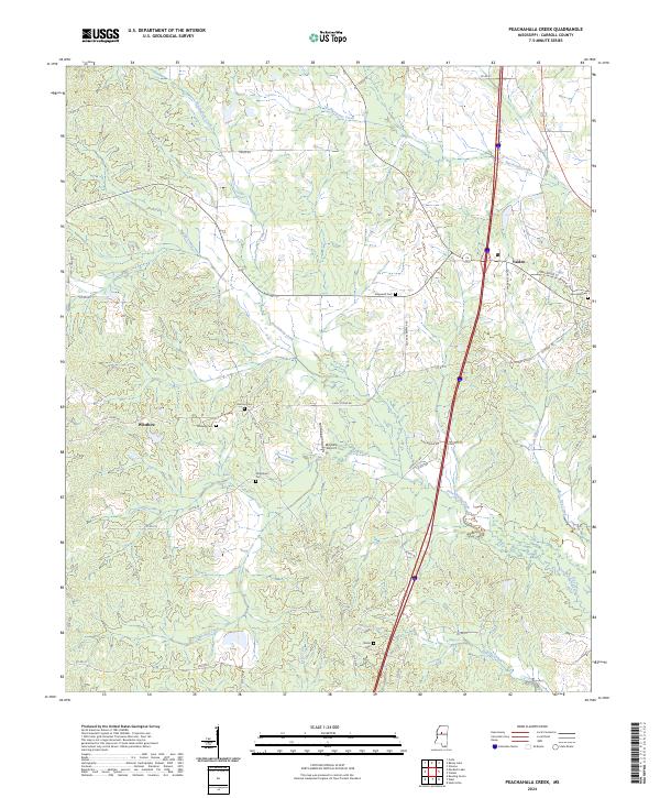
2024 Peachahala Creek
Carroll County, MS