
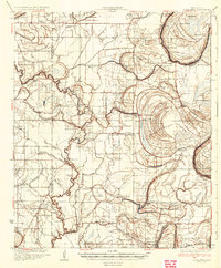
1931 Map of Schlater
USGS Topo · Published 1931About this map
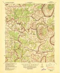
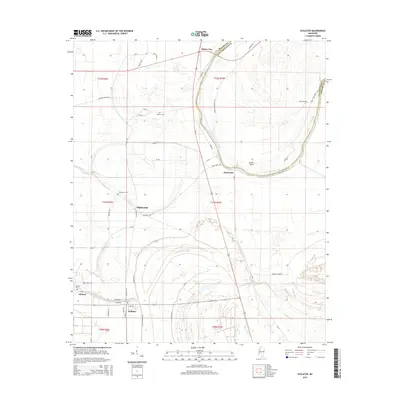
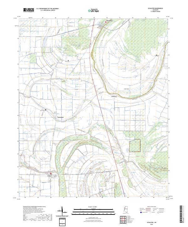
The alluvial landscape of the Mississippi Delta is defined here by the winding Quiver River and the sweeping curves of the Tallahatchie River at Eutaw Bend. This 1931 survey shows a rural society organized around an intricate network of bayous and brakes, where small settlements like Schlater and Shellmound serve as local hubs. The region's social geography is remarkably dense with community markers, featuring dozens of named churches such as Bethlehem Ch and Nebo Ch, and local schoolhouses like the Rosenwald Sch and Pepple Sch.
Find a feature on this map
82 named features on this map. Tap any name to fly to it.
Don’t see what you’re looking for? This feature index may not catch every label — zoom into the map to look around manually.
Map Details
Editions of this 1931 Schlater Map
This is the sole edition of this map. No revisions or reprints were ever made.
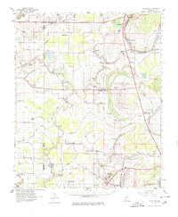
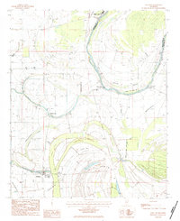
Historical Maps of Greenwood Through Time
10 maps found
1931 Schlater
Leflore County, MS
1934 Schlater
Leflore County, MS
1939 Schlater
Leflore County, MS
1961 Schlater
Leflore County, MS
1983 Schlater
Leflore County, MS
2012 Schlater
Leflore County, MS
2015 Schlater
Leflore County, MS
2018 Schlater
Leflore County, MS
2020 Schlater
Leflore County, MS
2024 Schlater
Leflore County, MS