
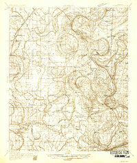
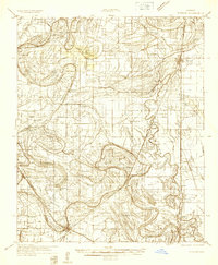
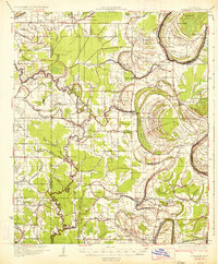
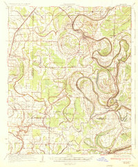
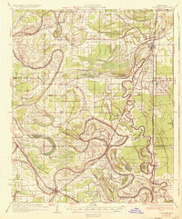
1931 Map of Drew
USGS Topo · Published 1931About this map
Mound Bayou and the surrounding Sunflower County landscape are defined by an intricate network of waterways and early 20th-century agriculture. The Yazoo and Mississippi Valley Railroad serves as the primary corridor for commerce, running through the heart of the region. A massive tract is occupied by the State Penitentiary Reservation, which includes several numbered prison camps and a dedicated Hospital Camp.
Find a feature on this map
70 named features on this map. Tap any name to fly to it.
Don’t see what you’re looking for? This feature index may not catch every label — zoom into the map to look around manually.
Map Details
Editions of this 1931 Drew Map
This is the sole edition of this map. No revisions or reprints were ever made.
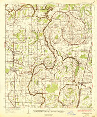
Other maps of this area

1930 · Mellwood
USGS Topo · 1:62,500

1931 · Schlater
USGS Topo · 1:48,000
1931 · Sumner
USGS Topo · 1:48,000
1932 · Tutwiler
USGS Topo · 1:48,000

1934 · Cleveland
USGS Topo · 1:62,500
1934 · Schlater
USGS Topo · 1:62,500

1935 · Clarksdale
USGS Topo · 1:62,500
1935 · Sumner
USGS Topo · 1:62,500
1935 · Tutwiler
USGS Topo · 1:62,500
1935 · Mound Bayou
USGS Topo · 1:62,500