Old Maps of Cleveland, Mississippi
Explore 37 old maps of Cleveland, spanning from 1931 to today. These high-resolution historic maps reveal how streets, neighborhoods, landmarks, and natural features evolved over time — perfect for genealogy, metal detecting, research, and local history exploration.
What you can do with these maps:
- See how Cleveland changed over time: Compare historical maps to modern-day views to trace roads, homesites, rail lines & more.
- View detailed metadata: Each map includes creators, publishers, year, scale, and archive source.
- Overlay maps with satellite & LiDAR: Visualize the past alongside modern tools to explore terrain & human change.
- Trusted historical sources: Maps sourced from the USGS, Library of Congress, and other archives.
- Access maps your way: View online, download high-res files, or order prints for personal or research use.
Start exploring old maps of Cleveland to uncover forgotten places, hidden landmarks, and the deep history beneath your feet.
Cleveland, MS maps
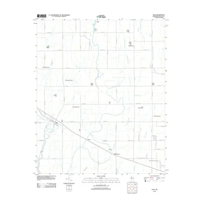
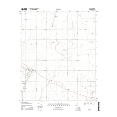
(37)- 1931 Map of Drew
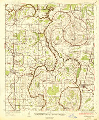
 1931 Drew1931 Print · USGSSunflower County's agricultural and social landscape is meticulously detailed in the early 1930s, centering on the communities of Mound Bayou and Drew. Researchers can trace the layout of the State Penitentiary Reservation and numerous country churches like Beautiful Star Ch and Shady Grove Ch.
 - 1934 Map of Cleveland
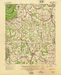
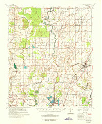
 1934 Cleveland1934 Print · USGSThe Mississippi Delta in the early thirties was a bustling landscape of rail-connected plantation towns and rural schools. Genealogists can trace family roots through numerous sites like Boyer Cem, the Doddsville Industrial Institute, and the historic Dockery community.2 unique versions available
 - 1935 Map of Mound Bayou
 1935 Mound Bayou1935 Print · USGSThe Mississippi Delta's agricultural and social landscape is captured here in the mid-1930s as local communities thrived along the rail lines. Genealogists can locate family landmarks like Pilgrims Rest Ch or trace the extensive camp system of the State Reservation.2 unique versions available
 - 1939 Map of Pace, 1942 Print
 1939 Pace1942 Print · USGSBolivar County in the late 1930s is a landscape of thriving Delta towns and extensive plantation land. Genealogists can locate family landmarks like Kirks Plantation, the Beulah Cem, and rural churches such as Pitts Chapel and Macedonia Ch.2 unique versions available
 - 1939 Map of Choctaw, 1965 Print
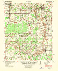
 1939 Choctaw1965 Print · USGSBolivar County and Washington County are captured here at the end of the 1930s, showing a Delta landscape transformed by drainage canals and rail. You can trace early twentieth-century settlement patterns through landmarks like Mt Olive Ch, the Illinois Central Railroad corridor, and the community at Shaw.
 - 1940 Map of Cleveland, 1946 Print
 1940 Cleveland1946 Print · USGSBolivar and Sunflower counties are seen here in the early 1940s, as the delta landscape was being transformed by major flood control projects. Genealogists can trace family roots through numerous local landmarks like Boyer Cem, Hannahs Bridge, and the Doddsville Industrial Institute.
 - 1953 Map of Greenwood, 1966 Print
 1953 Greenwood1966 Print · USGSThe Mississippi Delta in the mid-fifties is captured here as a thriving network of river towns, railroads, and oxbow lakes. Researchers can trace the legacy of the Illinois Central Railroad and locate landmarks like the State Penal Farm and Greenville Air Force Base.5 unique versions available
 - 1956 Map of Greenwood
 1956 Greenwood1956 Print · USGSThe Mississippi Delta in the mid-fifties is captured here during a period of significant military and agricultural activity. Researchers can trace the rail lines of the Illinois Central RR, find the Greenville Air Force Base, or locate the State Penal Farm.
 - 1966 Map of Merigold, 1967 Print
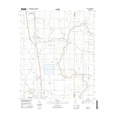
 1966 Merigold1967 Print · USGSThe Bolivar County plantation lands of the mid-1960s are captured here along the Illinois Central rail line. Genealogists and local historians can trace family landmarks like Jerusalem Ch, Smith Cem, and the prominent Indian Mound.
 - 1966 Map of Cleveland, 1967 Print
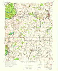
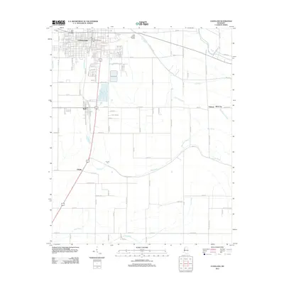
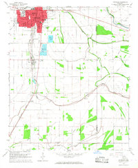 1966 Cleveland1967 Print · USGSCleveland and the Bolivar County delta appear here in the mid-sixties, dominated by the campus of Delta State College and the Illinois Central rail lines. Genealogists can locate family landmarks such as Chrisman Cem, Delta Heights Memorial Gardens, and the rural New Salem Ch.2 unique versions available
 - 1967 Map of Skene, 1968 Print
 1967 Skene1968 Print · USGSThe Bolivar County delta in the late sixties shows a landscape of intricate drainage canals and small farming hubs. Genealogists can locate family-named landmarks like Litton and Laughlin or trace rural congregations such as Damascus Ch and New St James Ch.
 - 1968 Map of Cleveland
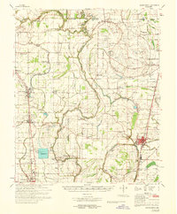
 1968 Cleveland1968 Print · USGSBolivar and Sunflower counties are captured here in the late sixties, showing the intricate water and rail networks of the Mississippi Delta. Genealogists and local researchers can locate numerous community landmarks, including True Light Ch, Hillhouse Cem, and the small siding at O'Reilly.
 - 1968 Map of Mound Bayou
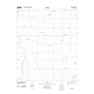
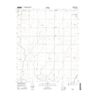
 1968 Mound Bayou1968 Print · USGSThe Mississippi Delta's historic settlements and expansive agricultural lands are detailed here during the late sixties. Researchers can trace family roots through dozens of local landmarks like Mound Bayou, Indian Mounds, and the State Penal Farm.
 - 1969 Map of Choctaw
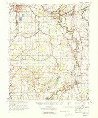
 1969 Choctaw1969 Print · USGSBolivar County at the end of the 1960s reveals a Delta landscape shaped by complex bayou drainage and a dense network of country churches. Researchers can trace family sites near Stringtown and Meltonia or locate landmarks like the Gospel Temple and Indian Mound 26.
 - 1969 Map of Pace, 1971 Print
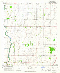
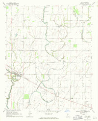 1969 Pace1971 Print · USGSBolivar County in the late sixties is a landscape of productive Delta farmland and small rural enclaves. Genealogists can trace family names and local history through numerous sites like Aycock Cem, Macedonia Ch, and the Pace Center Sch.
 - 1970 Map of Pace
 1970 Pace1970 Print · USGSThe Mississippi Delta's rail-and-river landscape comes alive in this 1970s survey of Bolivar County. Researchers can trace family history through dozens of rural landmarks like Peters Rock Ch, the Gunnison Cem, and the tracks of the Illinois Central Railroad.
 - 1983 Map of Greenwood
 1983 Greenwood1983 Print · USGSThe Mississippi Delta in the early eighties shows a landscape of rail-connected towns and vast river systems. Genealogists and historians can trace family roots in towns like Mound Bayou, Ruleville, and the grounds of Mississippi Valley State University.
 - 2012 Map of Merigold, 2012 Print
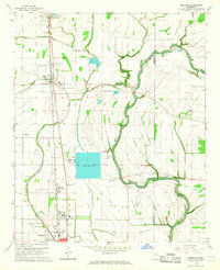
 2012 Merigold2012 Print · USGSCovers Cleveland, including Mound Bayou, Merigold, and other nearby areas
 - 2012 Map of Cleveland, 2012 Print
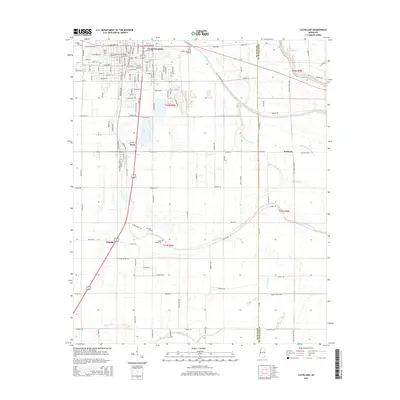
 2012 Cleveland2012 Print · USGSCovers Cleveland, including Boyle, Halstead, and other nearby areas
 - 2012 Map of Pace, 2012 Print
 2012 Pace2012 Print · USGSCovers Cleveland, including Pace, Victor, and other nearby areas
 - 2012 Map of Skene, 2012 Print
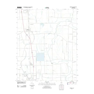
 2012 Skene2012 Print · USGSCovers Cleveland, including Laughlin, Cleveland Crossing, and other nearby areas
 - 2015 Map of Merigold, 2015 Print
 2015 Merigold2015 Print · USGSCovers Cleveland, including Mound Bayou, Merigold, and other nearby areas
 - 2015 Map of Pace, 2015 Print
 2015 Pace2015 Print · USGSCovers Cleveland, including Pace, Victor, and other nearby areas
 - 2015 Map of Skene, 2015 Print
 2015 Skene2015 Print · USGSCovers Cleveland, including Laughlin, Cleveland Crossing, and other nearby areas
 - 2015 Map of Cleveland, 2015 Print
 2015 Cleveland2015 Print · USGSCovers Cleveland, including Boyle, Halstead, and other nearby areas
Showing maps 1-25 of 37
Top cities near Cleveland
- Ruleville historical maps
- Shelby historical maps
- Drew historical maps
- Mound Bayou historical maps
- Shaw historical maps
- Boyle historical maps
See more
Frequently asked questions
- What are the different types of historical maps available for Cleveland?
- What is the oldest map of Cleveland?
- Where can I purchase historical maps of Cleveland for my home or office?
- Where can I download high-res historical maps of Cleveland?
- Are there historical topographic maps available for Cleveland?
- Is there historical aerial imagery available for Cleveland?
- Where are historical maps of Cleveland sourced from?