
1931 Map of Sumner
USGS Topo · Published 1931About this map
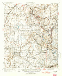
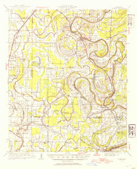
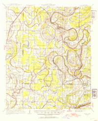
Sumner serves as a focal point in this Mississippi Delta landscape, where the Yazoo and Mississippi Valley Railroad follows the winding path of the Quiver River and Cassidy Bayou. The survey, compiled in part from early Air Corps aerial photography, reveals an intensive network of rural community life centered around small churches and schools. Of particular note for historians is the Brooks-Rosenwald Sch, part of the significant effort to provide education for African American children in the South.
Find a feature on this map
75 named features on this map. Tap any name to fly to it.
Don’t see what you’re looking for? This feature index may not catch every label — zoom into the map to look around manually.
Map Details
Editions of this 1931 Sumner Map
4 editions found
Other maps of this area

1931 · Schlater
USGS Topo · 1:48,000

1931 · Drew
USGS Topo · 1:48,000

1932 · Philipp
USGS Topo · 1:48,000

1932 · Tutwiler
USGS Topo · 1:48,000

1934 · Cleveland
USGS Topo · 1:62,500

1934 · Schlater
USGS Topo · 1:62,500

1935 · Clarksdale
USGS Topo · 1:62,500

1935 · Crowder
USGS Topo · 1:62,500

1935 · Sumner
USGS Topo · 1:62,500

1935 · Tutwiler
USGS Topo · 1:62,500