1935 Map of Sumner
USGS Topo · Published 1935About this map
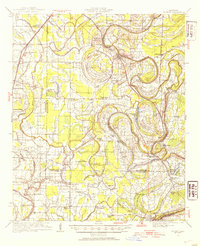
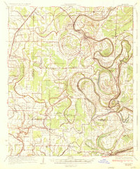
The Tallahatchie River and its intricate drainage network define the alluvial character of this Mississippi Delta landscape during the early 1930s. This survey by the U.S. Geological Survey and the Corps of Engineers documents a region deeply shaped by agricultural and institutional settlement, most notably featuring the State Reservation at Parchman. The map is an exceptional resource for genealogists and local historians, pinpointing numerous African American community landmarks, including the Brooks Rosenwald Sch and the Jacobs Chapel Sch.
Find a feature on this map
87 named features on this map. Tap any name to fly to it.
Don’t see what you’re looking for? This feature index may not catch every label — zoom into the map to look around manually.
Map Details
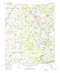
Editions of this 1935 Sumner Map
2 editions found
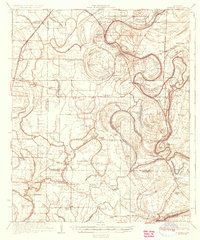
Historical Maps of Webb Through Time
4 maps found