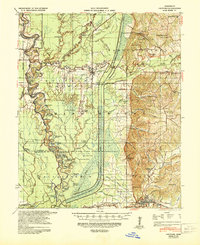
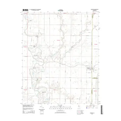
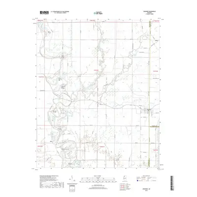
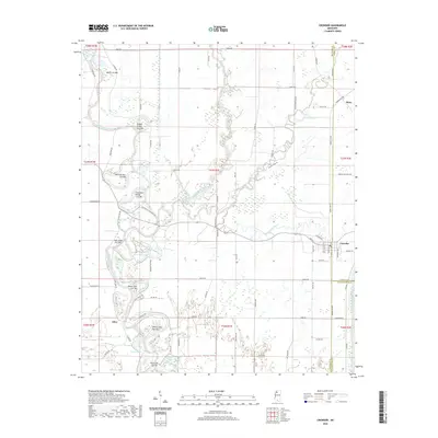
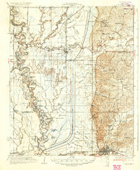
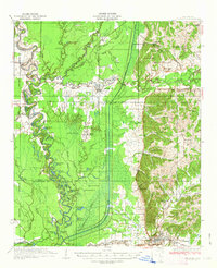
1935 Map of Crowder
USGS Topo · Published 1935About this map
The Tallahatchie River and Coldwater River dominate this 1930s landscape, where a dense network of oxbow lakes and bayous like Beech Bayou and Mims Bayou reflects the complex hydrology of the Mississippi Delta. The Chickasaw Boundary Line cuts diagonally across the northeastern corner, a significant historical marker separating distinct survey districts. Settlement is concentrated at Crowder and the larger town of Charleston, with the rural interior dotted by small community hubs such as Teasdale and Tocowa. Numerous rural schools, including Pharsalia Sch and Bradley Sch, serve the agricultural population, while the Quitman Co Hunting Club and Dry Bayou Plantation suggest the varying land uses of the era. Genealogists will find many landmarks for research, including the Independence Ch Cem and several churches like Shady Grove Ch and Bethel Ch.
Find a feature on this map
92 named features on this map. Tap any name to fly to it.
Don’t see what you’re looking for? This feature index may not catch every label — zoom into the map to look around manually.
Map Details
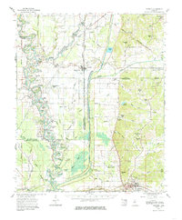
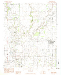
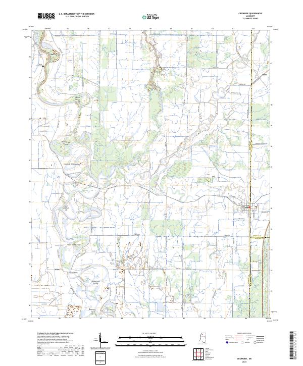
Editions of this 1935 Crowder Map
3 editions found
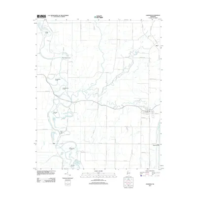
Historical Maps of Charleston Through Time
9 maps found