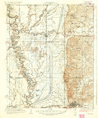
1935 Map of Crowder
USGS Topo · Published 1935About this map
The Tallahatchie River meanders through a landscape defined by complex water systems and the legacy of early land surveys. In the mid-1930s, the region was a maze of oxbows and bayous, where drainage canals began to cut through the natural floodplains near Crowder. This survey documents a critical period of infrastructure development alongside established rural landmarks like the Yazoo and Mississippi Valley RR.
Find a feature on this map
90 named features on this map. Tap any name to fly to it.
Don’t see what you’re looking for? This feature index may not catch every label — zoom into the map to look around manually.
Map Details
Editions of this 1935 Crowder Map
3 editions found
Other maps of this area

1931 · Sumner
USGS Topo · 1:48,000

1932 · Sledge
USGS Topo · 1:48,000

1932 · Philipp
USGS Topo · 1:48,000

1932 · Tutwiler
USGS Topo · 1:48,000

1932 · Marks
USGS Topo · 1:48,000

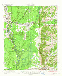
1935 · Crowder
USGS Topo · 1:62,500

1935 · Marks
USGS Topo · 1:62,500

1935 · Sumner
USGS Topo · 1:62,500

1935 · Tutwiler
USGS Topo · 1:62,500

1935 · Sledge
USGS Topo · 1:62,500