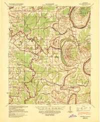
1939 Map of Schlater
USGS Topo · Published 1941About this map
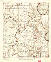
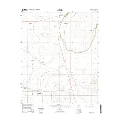
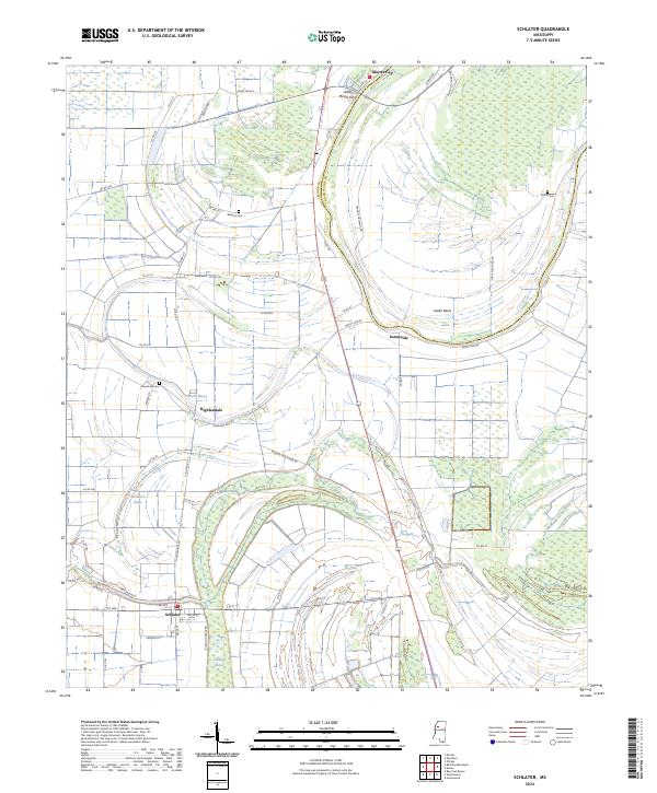
Schlater and the surrounding Leflore County delta land appear as a dense network of watercourses and agricultural settlements in this 1930s survey. The landscape is defined by the winding Tallahatchie River, which creates distinctive features like Eutah Bend, and the many bayous such as Rattlesnake Bayou, Howling Wolf Bayou, and Dugan Bayou that drain the fertile bottomlands. The presence of numerous community centers, including the Rosenwald Sch and the Sixteenth Section Sch, alongside spiritual landmarks like Zion Watch Ch and Rock of Ages Ch, reflects a deeply rooted rural society before modern mechanization fully transformed the region. The southern edge of the map shows the rail infrastructure of the Columbus and Greenville railroad near Itta Bena, connecting these delta cotton lands to broader markets during a period of significant transition in the Mississippi Delta.
Find a feature on this map
73 named features on this map. Tap any name to fly to it.
Don’t see what you’re looking for? This feature index may not catch every label — zoom into the map to look around manually.
Map Details
Editions of this 1939 Schlater Map
This is the sole edition of this map. No revisions or reprints were ever made.
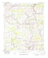
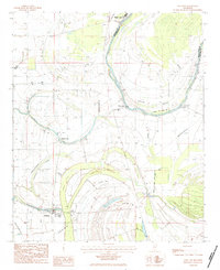
Historical Maps of Greenwood Through Time
10 maps found

1931 Schlater
Leflore County, MS
1934 Schlater
Leflore County, MS
1939 Schlater
Leflore County, MS
1961 Schlater
Leflore County, MS
1983 Schlater
Leflore County, MS
2012 Schlater
Leflore County, MS
2015 Schlater
Leflore County, MS
2018 Schlater
Leflore County, MS
2020 Schlater
Leflore County, MS
2024 Schlater
Leflore County, MS