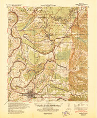
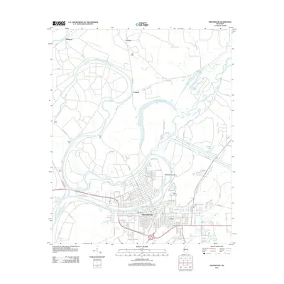
1940 Map of Greenwood
USGS Topo · Published 1945About this map
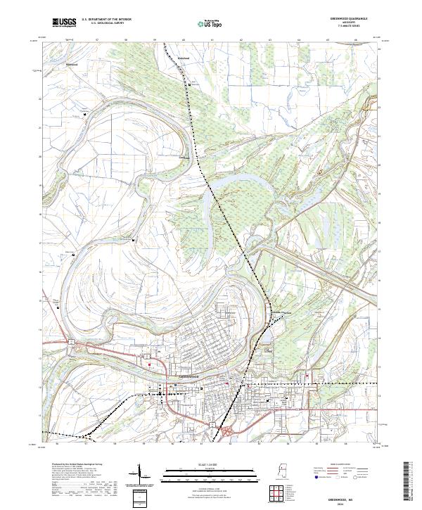
The Yazoo River forms here at the confluence of the Tallahatchie River and the Yalobusha River, anchoring a landscape defined by complex river hydrology and flood control efforts of the early 1940s. The city of Greenwood serves as a major hub for the Yazoo and Mississippi Valley and Columbus and Greenville railroads. This era's social geography is visible through numerous rural institutions, including the Rosenwald Sch, Little Zion Ch, and Shiloh Ch, alongside family-named landmarks like Malmaison. The intricate network of oxbow lakes and bayous, such as McIntyre Lake and Hells Halfacre Bayou, reveals the natural evolution of the Delta's waterways before widespread modernization. These features, along with settlements like Money and Avalon, document the deep-rooted agricultural and transit patterns of the Mississippi Delta.
Find a feature on this map
82 named features on this map. Tap any name to fly to it.
Don’t see what you’re looking for? This feature index may not catch every label — zoom into the map to look around manually.
Map Details
Editions of this 1940 Greenwood Map
This is the sole edition of this map. No revisions or reprints were ever made.
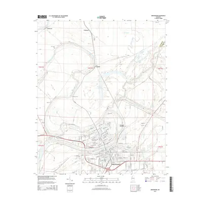
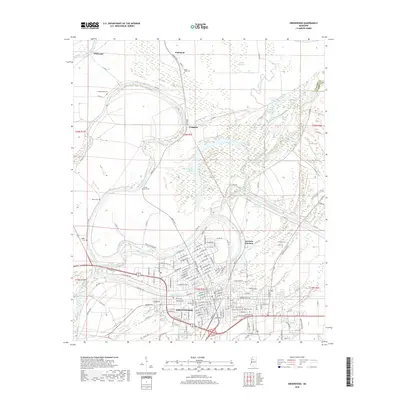
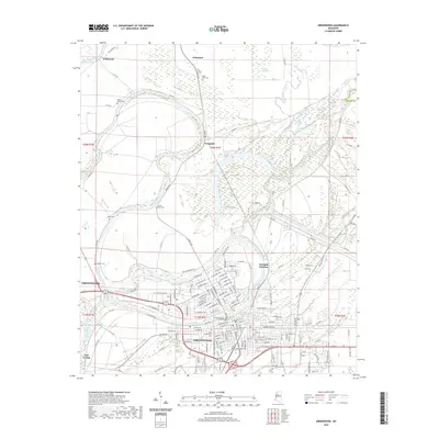
Historical Maps of Greenwood Through Time
12 maps found

1936 Greenwood
Leflore County, MS
1940 Greenwood
Leflore County, MS
1953 Greenwood
Leflore County, MS

1956 Greenwood
Leflore County, MS
1957 Greenwood
Leflore County, MS
1982 Greenwood
Leflore County, MS

1983 Greenwood
Leflore County, MS
2012 Greenwood
Leflore County, MS
2015 Greenwood
Leflore County, MS
2018 Greenwood
Leflore County, MS
2020 Greenwood
Leflore County, MS
2024 Greenwood
Leflore County, MS