
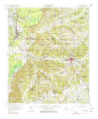
1957 Map of Lexington
USGS Topo · Published 1960About this map
Lexington serves as the focal point of this Holmes County landscape, where the Illinois Central railroad cuts a diagonal path through a region defined by its numerous rural congregations and schools. The map reveals a dense network of community centers that often integrated education, worship, and burial grounds, such as Hickory Springs Sch Ch & Cem and Springhill Sch Ch & Cem. These sites, along with isolated landmarks like Pinkston Cem and Malone Cem, provide a precise spatial record for genealogical research in mid-century Mississippi.
Find a feature on this map
94 named features on this map. Tap any name to fly to it.
Don’t see what you’re looking for? This feature index may not catch every label — zoom into the map to look around manually.
Map Details
Editions of this 1957 Lexington Map
2 editions found
Other maps of this area

1940 · Seven Pines
USGS Topo · 1:62,500

1940 · Lexington
USGS Topo · 1:62,500

1940 · Mileston
USGS Topo · 1:62,500

1953 · Meridian
USGS Topo · 1:250,000

1953 · Greenwood
USGS Topo · 1:250,000

1953 · West Point
USGS Topo · 1:250,000

1954 · Mileston
USGS Topo · 1:62,500

1955 · Jackson
USGS Topo · 1:250,000

1956 · Greenwood
USGS Topo · 1:250,000

1957 · Meridian
USGS Topo · 1:250,000