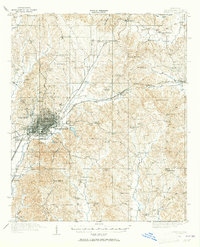
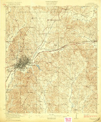
1957 Map of Meridian
USGS Topo · Published 1957About this map
Meridian serves as the primary hub of this East Central Mississippi landscape, anchoring a network of rails and roads that bridge the timberlands of the Bienville National Forest and the agricultural plains. Surveyed in the mid-1950s, the map reveals a region defined by its river systems, from the winding Pearl River in the west to the Tombigbee River drainage to the east. The Choctaw Indian Reservation stands out near Philadelphia, while smaller communities like Newton, Decatur, and Forest illustrate the rural settlement patterns of the era. The presence of the Illinois Central railroad underscores the industrial importance of timber and transport, connecting these interior towns to larger markets. Public recreation and conservation efforts are also visible at Roosevelt State Park and Clarkco State Park, highlighting the early post-war development of state-managed lands alongside the more established national forest.
Find a feature on this map
137 named features on this map. Tap any name to fly to it.
Don’t see what you’re looking for? This feature index may not catch every label — zoom into the map to look around manually.
Map Details
Editions of this 1957 Meridian Map
This is the sole edition of this map. No revisions or reprints were ever made.
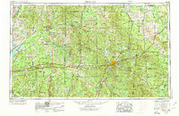
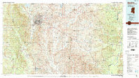
Historical Maps of Meridian Through Time
6 maps found