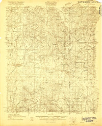
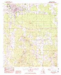
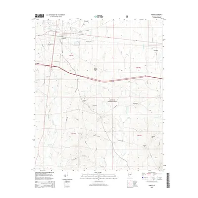
1921 Map of Forest
USGS Topo · Published 1921About this map
The county seat of Forest anchors this 1920 survey, revealing a landscape of the Mississippi piney woods defined by small agricultural hamlets and a dense network of country churches and schools. The Alabama and Vicksburg RR cuts through the center, connecting the town to rural outposts like Donohoe and Muskegon. Notable for its many family-named settlements, the map documents sites such as Singleton Settlement, Dennis Settlement, and Bulkleytown, which reflect the early 20th-century kinship patterns of central Mississippi.
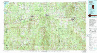
Find a feature on this map
84 named features on this map. Tap any name to fly to it.
Don’t see what you’re looking for? This feature index may not catch every label — zoom into the map to look around manually.
Map Details
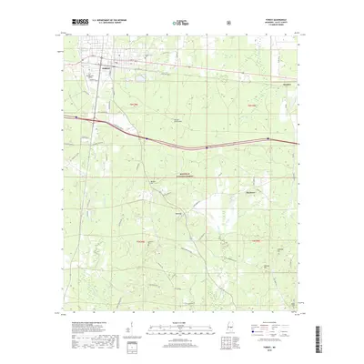
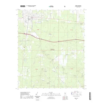
Editions of this 1921 Forest Map
This is the sole edition of this map. No revisions or reprints were ever made.
Historical Maps of Forest Through Time
12 maps found
1921 Forest
Scott County, MS
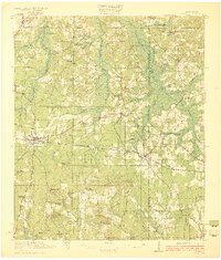
1922 Forest
Scott County, MS
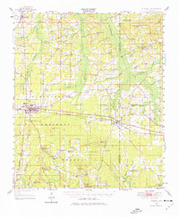
1950 Forest
Scott County, MS
1952 Forest
Scott County, MS
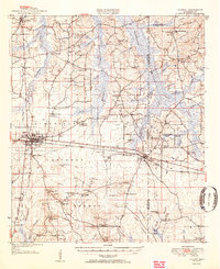
1982 Forest
Scott County, MS
1984 Forest
Scott County, MS
2000 Forest
Scott County, MS
2012 Forest
Scott County, MS
2015 Forest
Scott County, MS
2018 Forest
Scott County, MS
2021 Forest
Scott County, MS
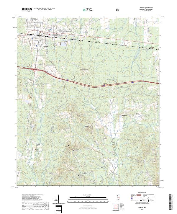
2024 Forest
Scott County, MS