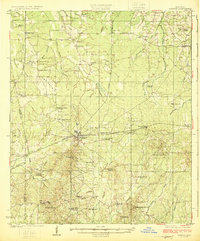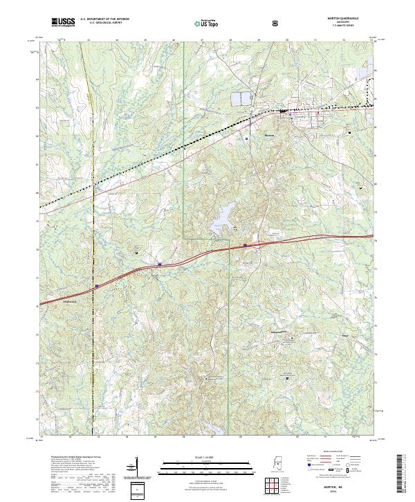
1922 Map of Morton
USGS Topo · Published 1922About this map
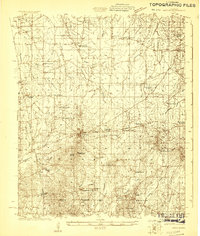
Morton serves as a central hub on this Scott County landscape, situated where the Alabama and Vicksburg RR cuts through the region just north of the Rankin Co Scott Co line. The early 1920s economy is visibly tied to the timber industry, highlighted by the presence of a Lumber Camp and a dedicated Lumber RR extending into the northern reaches of the quadrangle. Beyond the town limits, the geography is defined by a dense network of country churches and schools, such as St Johns Church, Zion Grove Church, and the Concord School, which suggest established rural communities.
Find a feature on this map
69 named features on this map. Tap any name to fly to it.
Don’t see what you’re looking for? This feature index may not catch every label — zoom into the map to look around manually.
Map Details
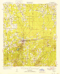
Editions of this 1922 Morton Map
This is the sole edition of this map. No revisions or reprints were ever made.
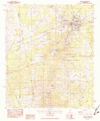
Historical Maps of Forest Through Time
9 maps found