
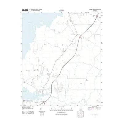
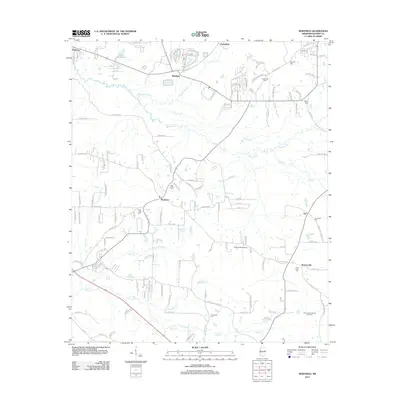
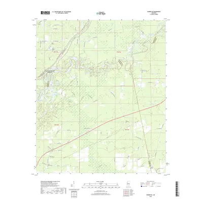
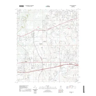
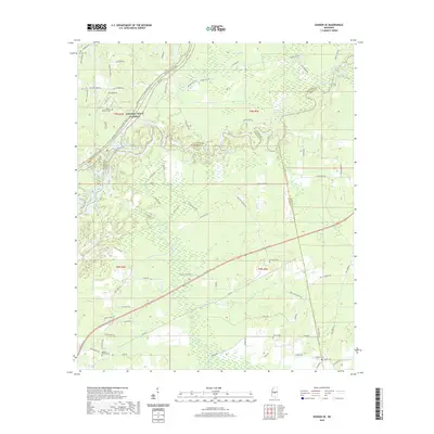
1922 Map of Pelahatchee
USGS Topo · Published 1922About this map
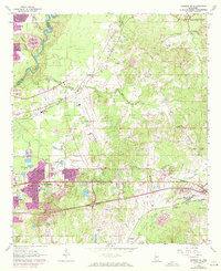
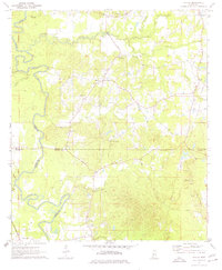
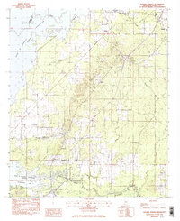
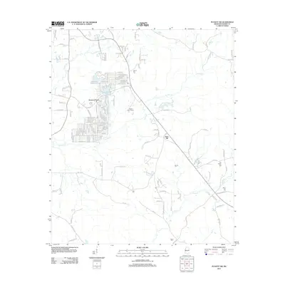
The town of Pelahatchee and its surrounding countryside in the early 1920s are defined by an intricate network of rural roads and small community nodes. This landscape, surveyed in cooperation with director E. N. Lowe, shows a high density of country schools and churches that served as the backbone of rural Rankin County. Key transit routes like the Vicksburg and Meridian Guide Road and Tannin Road navigate the terrain alongside notable water features such as Pelahatchee Creek and Cane Creek.
Find a feature on this map
60 named features on this map. Tap any name to fly to it.
Don’t see what you’re looking for? This feature index may not catch every label — zoom into the map to look around manually.
Map Details
Editions of this 1922 Pelahatchee Map
This is the sole edition of this map. No revisions or reprints were ever made.
Historical Maps of Brandon Through Time
59 maps found
1922 Pelahatchee
Rankin County, MS

1924 Pelahatchee
Rankin County, MS
1963 Jackson SE
Rankin County, MS
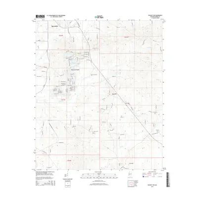
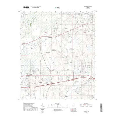
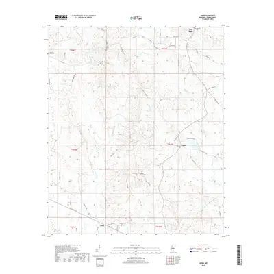
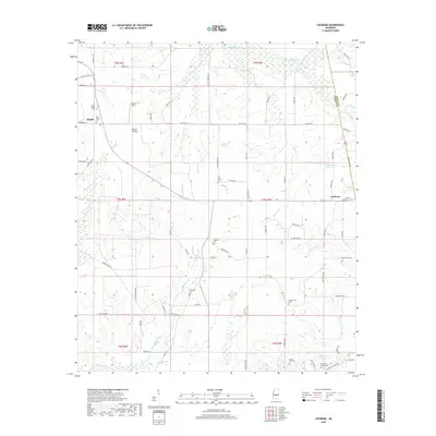
1968 Johns
Rankin County, MS
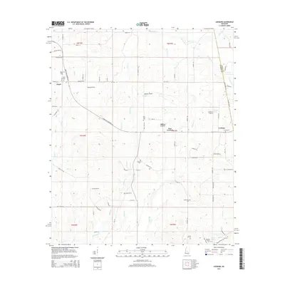
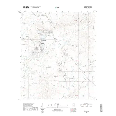
1968 Puckett NW
Rankin County, MS
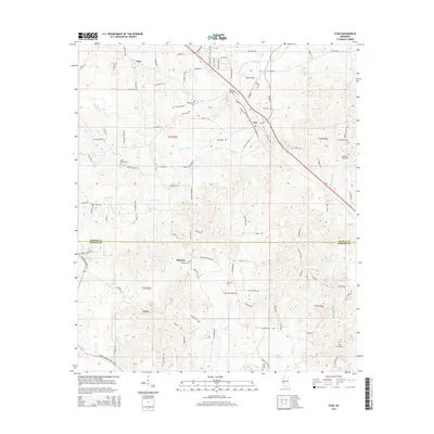
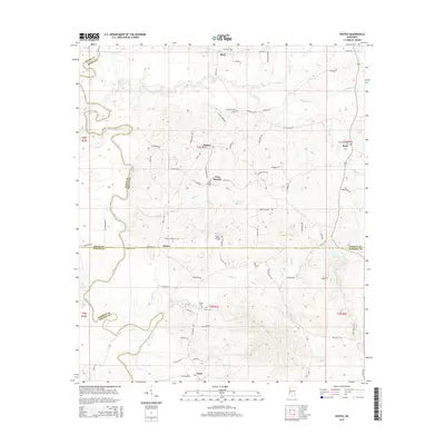
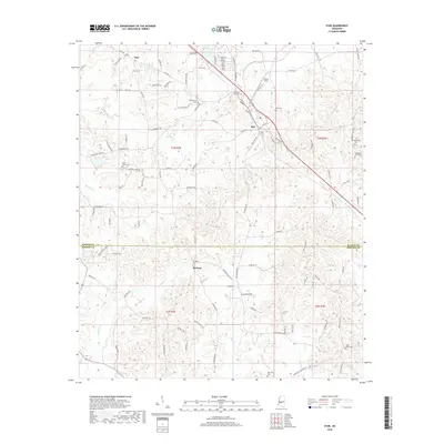
1971 Star
Rankin County, MS
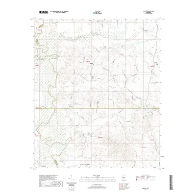
1971 Whites
Rankin County, MS
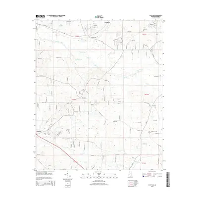
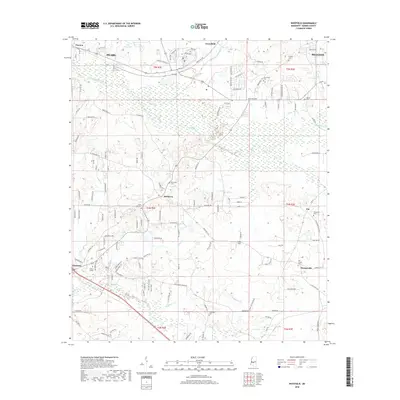
1971 Whitfield
Rankin County, MS
1980 Jackson SE
Rankin County, MS
1980 Whitfield
Rankin County, MS
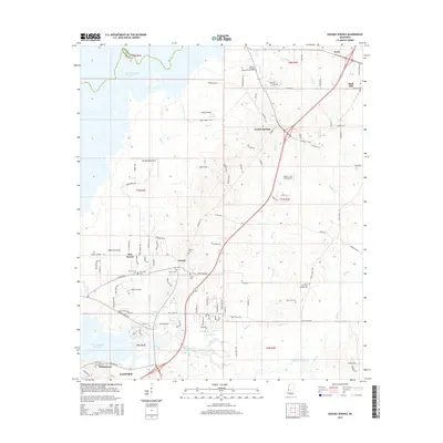
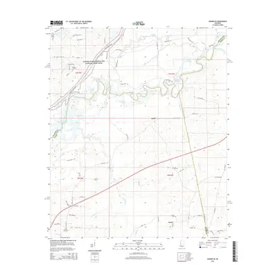
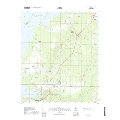
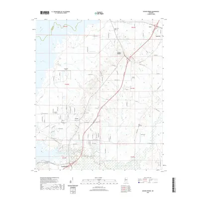
1982 Goshen Springs
Rankin County, MS
1982 Leesburg
Rankin County, MS
1988 Sharon SE
Rankin County, MS
1998 Jackson SE
Rankin County, MS
2012 Goshen Springs
Rankin County, MS
2012 Jackson SE
Rankin County, MS
2012 Johns
Rankin County, MS
2012 Leesburg
Rankin County, MS
2012 Puckett NW
Rankin County, MS
2012 Sharon SE
Rankin County, MS
2012 Star
Rankin County, MS
2012 Whites
Rankin County, MS
2012 Whitfield
Rankin County, MS
2015 Goshen Springs
Rankin County, MS
2015 Jackson SE
Rankin County, MS
2015 Johns
Rankin County, MS
2015 Leesburg
Rankin County, MS
2015 Puckett NW
Rankin County, MS
2015 Sharon SE
Rankin County, MS
2015 Star
Rankin County, MS
2015 Whites
Rankin County, MS
2015 Whitfield
Rankin County, MS
2018 Goshen Springs
Rankin County, MS
2018 Jackson SE
Rankin County, MS
2018 Johns
Rankin County, MS
2018 Leesburg
Rankin County, MS
2018 Puckett NW
Rankin County, MS
2018 Sharon SE
Rankin County, MS
2018 Star
Rankin County, MS
2018 Whites
Rankin County, MS
2018 Whitfield
Rankin County, MS
2020 Goshen Springs
Rankin County, MS
2020 Jackson SE
Rankin County, MS
2020 Johns
Rankin County, MS
2020 Leesburg
Rankin County, MS
2020 Puckett NW
Rankin County, MS
2020 Sharon SE
Rankin County, MS
2020 Star
Rankin County, MS
2020 Whites
Rankin County, MS
2020 Whitfield
Rankin County, MS
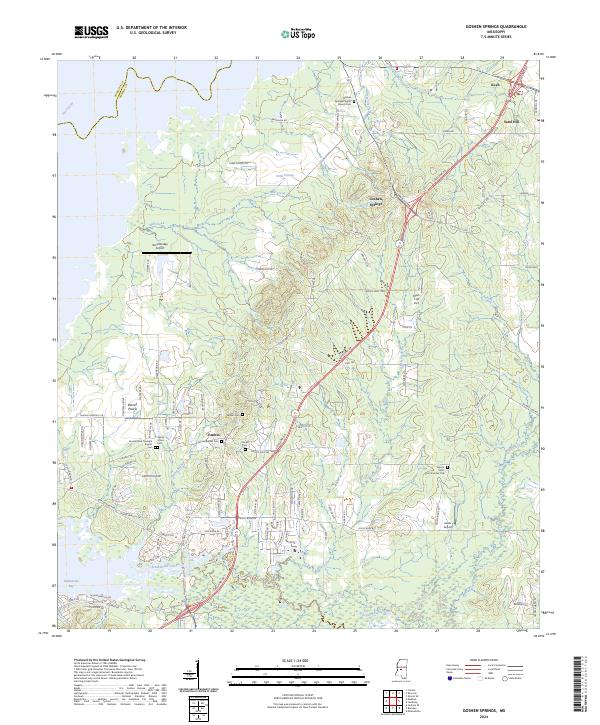
2024 Goshen Springs
Rankin County, MS
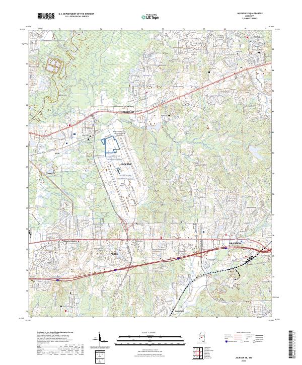
2024 Jackson SE
Rankin County, MS
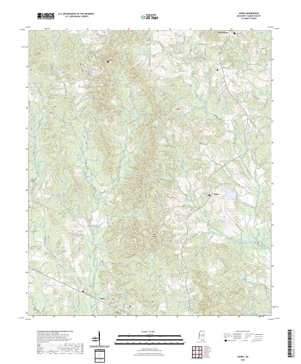
2024 Johns
Rankin County, MS
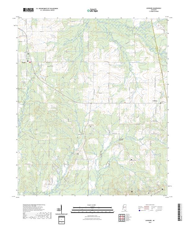
2024 Leesburg
Rankin County, MS
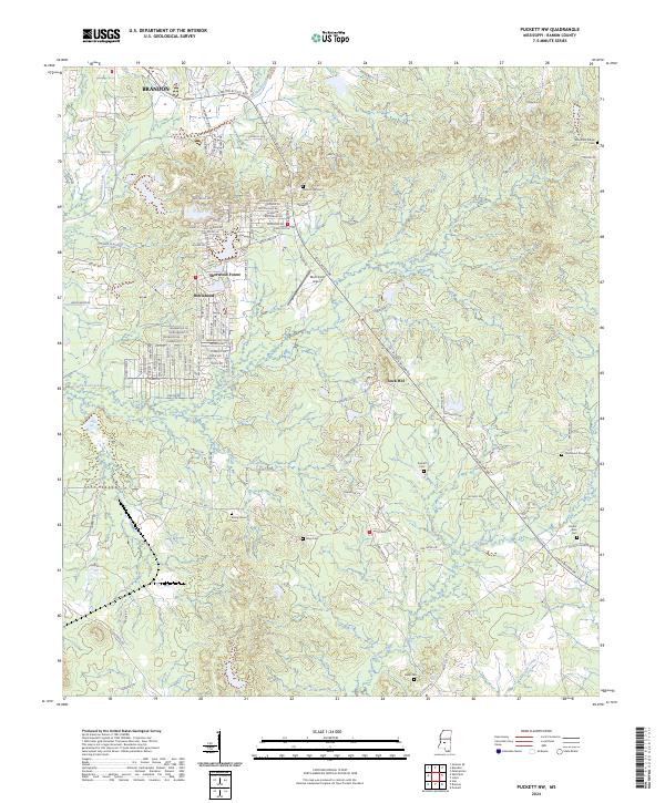
2024 Puckett NW
Rankin County, MS
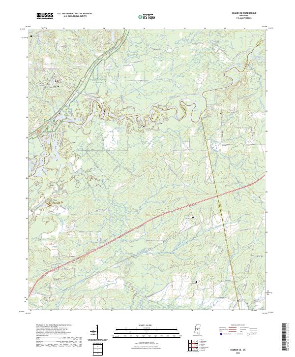
2024 Sharon SE
Rankin County, MS
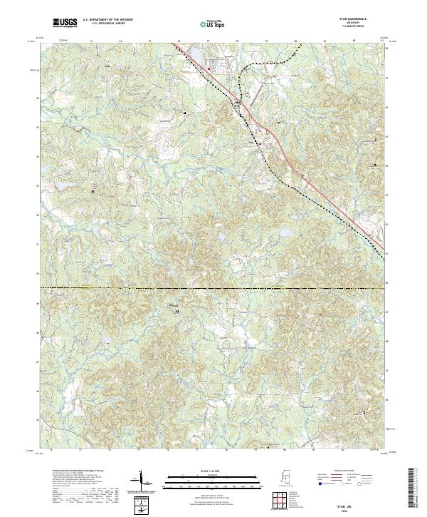
2024 Star
Rankin County, MS
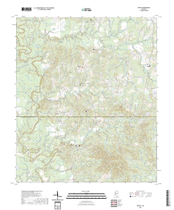
2024 Whites
Rankin County, MS
2024 Whitfield
Rankin County, MS