
1908 Map of Jackson
USGS Topo · Published 1908About this map
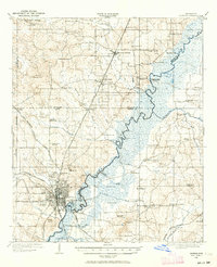
The capital city of Jackson serves as the rail hub for central Mississippi in the early 1900s, where five major lines including the Illinois Central R. R. and the Gulf and Ship Island R. R. converge. The urban footprint is concentrated west of the winding Pearl River, characterized by prominent institutions like the Insane Asylum and a nearby Orphanage. To the north, the landscape transitions into a network of small agricultural settlements and academic centers, most notably Tougaloo University and the growing stops at Ridgeland and Madison Station.
Find a feature on this map
70 named features on this map. Tap any name to fly to it.
Don’t see what you’re looking for? This feature index may not catch every label — zoom into the map to look around manually.
Map Details
Editions of this 1908 Jackson Map
2 editions found
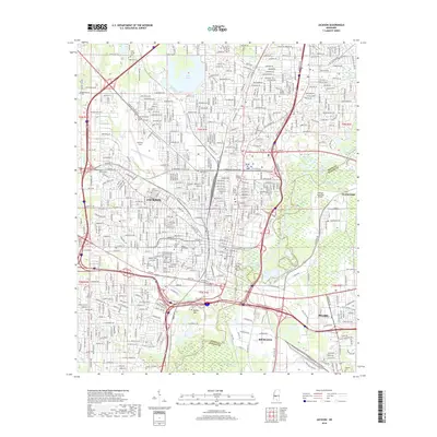
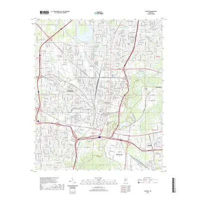
Historical Maps of Jackson Through Time
14 maps found
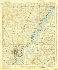
1905 Jackson
Hinds County, MS
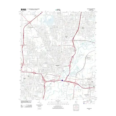
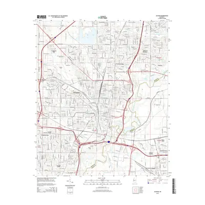
1908 Jackson
Hinds County, MS

1955 Jackson
Hinds County, MS

1961 Jackson
Hinds County, MS

1962 Jackson
Hinds County, MS
1963 Jackson
Hinds County, MS
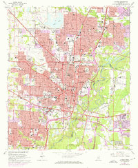
1980 Jackson
Hinds County, MS

1984 Jackson
Hinds County, MS

1998 Jackson
Hinds County, MS
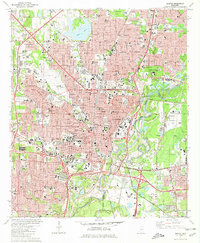
2012 Jackson
Hinds County, MS
2015 Jackson
Hinds County, MS
2018 Jackson
Hinds County, MS
2020 Jackson
Hinds County, MS
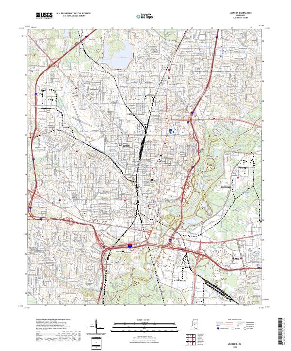
2024 Jackson
Hinds County, MS