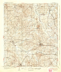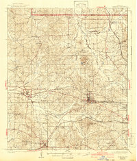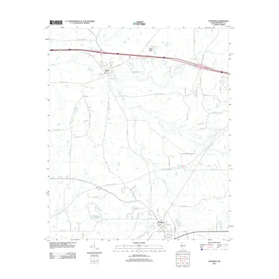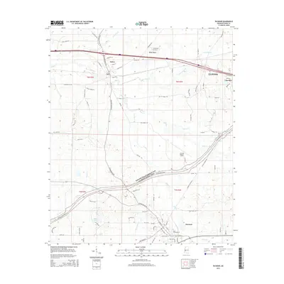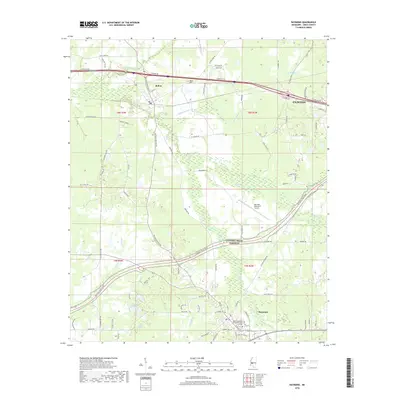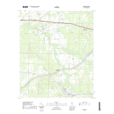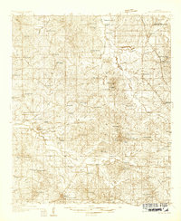
1934 Map of Raymond
USGS Topo · Published 1934About this map
The educational and social centers of Hinds County anchor this mid-1930s landscape, highlighted by the prominent campuses of Mississippi College in Clinton and Hinds Junior College in Raymond. The map illustrates a densely settled rural network where education was deeply localized, as evidenced by numerous community-specific institutions like Rosenwald County Line Sch, Pilgrims Rest Sch, and Whitfield Sch. Transportation and commerce follow the corridor of the Yazoo and Mississippi Valley railroad, which links the towns of Bolton and Pocahontas to the broader regional economy.
Find a feature on this map
83 named features on this map. Tap any name to fly to it.
Don’t see what you’re looking for? This feature index may not catch every label — zoom into the map to look around manually.
Map Details
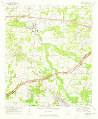
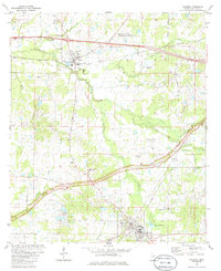
Editions of this 1934 Raymond Map
This is the sole edition of this map. No revisions or reprints were ever made.
Historical Maps of Jackson Through Time
10 maps found