Old Maps of Nanih Waiya, Mississippi
Explore 26 old maps of Nanih Waiya, spanning from 1953 to today. These high-resolution historic maps reveal how streets, neighborhoods, landmarks, and natural features evolved over time — perfect for genealogy, metal detecting, research, and local history exploration.
What you can do with these maps:
- See how Nanih Waiya changed over time: Compare historical maps to modern-day views to trace roads, homesites, rail lines & more.
- View detailed metadata: Each map includes creators, publishers, year, scale, and archive source.
- Overlay maps with satellite & LiDAR: Visualize the past alongside modern tools to explore terrain & human change.
- Trusted historical sources: Maps sourced from the USGS, Library of Congress, and other archives.
- Access maps your way: View online, download high-res files, or order prints for personal or research use.
Start exploring old maps of Nanih Waiya to uncover forgotten places, hidden landmarks, and the deep history beneath your feet.
Nanih Waiya, MS maps
(26)- 1953 Map of Meridian, 1966 Print
 1953 Meridian1966 Print · USGSEast Central Mississippi and the Alabama borderlands are captured here during a period of steady growth and infrastructure expansion. Genealogists and historians can trace rail-town development along the Gulf Mobile & Ohio Railroad and find early settlements like Scooba, Pelahatchie, and De Kalb.2 unique versions available
 - 1953 Map of West Point, 1973 Print
 1953 West Point1973 Print · USGSNorth-Central Mississippi and the Alabama borderlands are captured here during the mid-twentieth century as new reservoirs and national forests transformed the landscape. Researchers can trace the path of the Mississippi & Skuna Valley railroad or locate old landings along the Tombigbee River and Schooner Creek.3 unique versions available
 - 1957 Map of Meridian
 1957 Meridian1957 Print · USGSEast Central Mississippi and parts of Western Alabama come alive in the mid-1950s, centered on the transit hub of Meridian. Researchers can trace old rail lines like the Illinois Central and find historic sites such as the Choctaw Indian Reservation and Roosevelt State Park.
 - 1958 Map of West Point
 1958 West Point1958 Print · USGSNortheastern Mississippi and western Alabama are shown in the late 1950s, highlighting a region defined by its river-and-rail economy. Researchers can trace family roots through numerous settlements like Artesia and Vardaman or explore the corridor of the Tombigbee River.
 - 1962 Map of Vernon, 1963 Print
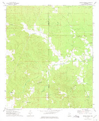
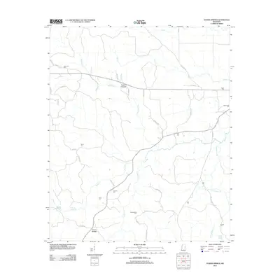
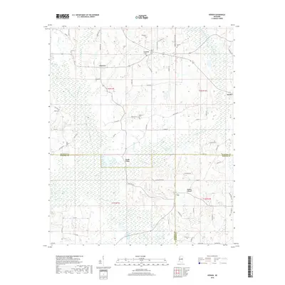
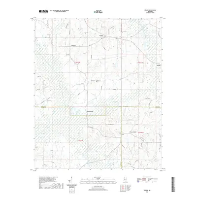
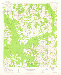 1962 Vernon1963 Print · USGSWinston and Neshoba Counties are captured in the early sixties, centered on rural communities and the significant Nanih Waiya Indian Mound. Researchers can trace local lineage through sites like Fulton Cem, Enon Ch, and Claytown.3 unique versions available
 - 1962 Map of Preston, 1963 Print
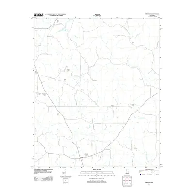
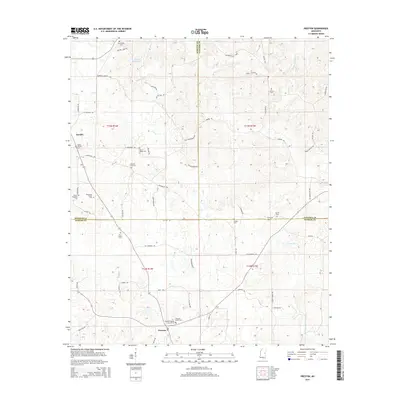
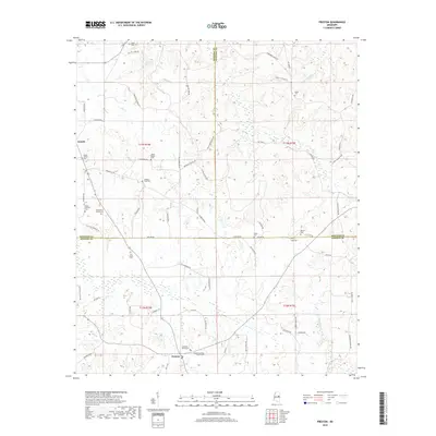
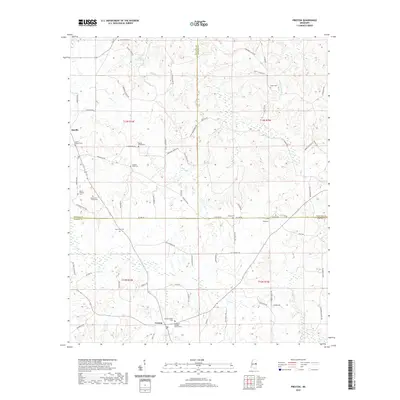
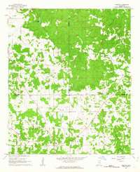 1962 Preston1963 Print · USGSThe tri-county borderlands of Winston, Noxubee, and Kemper counties are captured here in the early 1960s. Genealogists can locate family landmarks like Good Hope Ch, Hailey Cem, and the old schoolhouse at Preston.2 unique versions available
 - 1963 Map of West Point
 1963 West Point1963 Print · USGSEastern Mississippi and western Alabama are captured in the early sixties as industrial centers and rail lines connected the Black Prairie to the hills. Genealogists and historians can trace family-named watercourses and the early footprints of Starkville, Columbus, and the Noxubee National Wildlife Refuge.2 unique versions available
 - 1965 Map of Meridian
 1965 Meridian1965 Print · USGSEast Mississippi and West Alabama are mapped here in the mid-sixties as the region's modern highway and reservoir systems began to take shape. Researchers can trace rural lineages through local landmarks like Prince Chapel and Tuscahoma Landing, or follow the historic Gulf Mobile & Ohio rail lines.
 - 1973 Map of Fearns Springs, 1975 Print
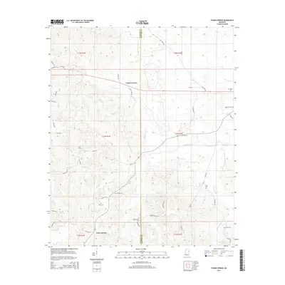
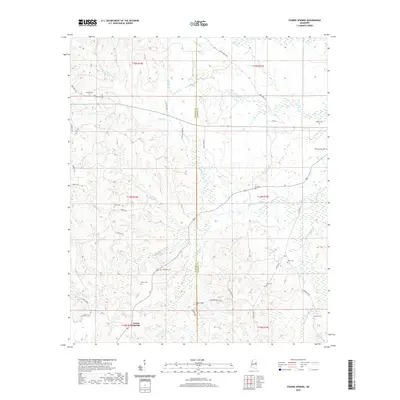
 1973 Fearns Springs1975 Print · USGSWinston and Noxubee counties appear here in the early 1970s, a rural landscape defined by family settlements and an Old Railroad Grade. Genealogists can trace deep local roots at Hemphill Cem, Fearns Springs, and Little Member Ch.
 - 1984 Map of De Kalb
 1984 De Kalb1984 Print · USGSThe Mississippi-Alabama borderlands come into focus in the 1980s, where the river-and-rail economy meets military and tribal lands. Researchers can trace rural lineages across the Choctaw Indian Reservation or through the rail towns of Scooba and De Kalb.2 unique versions available
 - 1984 Map of West Point
 1984 West Point1984 Print · USGSNorth-Central Mississippi in the mid-eighties shows a landscape defined by massive water management projects and dense timberlands. Researchers can trace the legacy of rural settlements like Geeslin Corner or the rail corridors of the Illinois Central Gulf RR near Grenada Lake.3 unique versions available
 - 2012 Map of Fearns Springs, 2012 Print
 2012 Fearns Springs2012 Print · USGSCovers Nanih Waiya, including Fearns Springs, Triplets Corners, and other nearby areas
 - 2012 Map of Preston, 2012 Print
 2012 Preston2012 Print · USGSCovers Nanih Waiya, including Preston, Handle, and other nearby areas
 - 2012 Map of Vernon, 2012 Print
 2012 Vernon2012 Print · USGSCovers Nanih Waiya, including Prince Chapel, Vernon, and other nearby areas
 - 2015 Map of Vernon, 2015 Print
 2015 Vernon2015 Print · USGSCovers Nanih Waiya, including Prince Chapel, Vernon, and other nearby areas
 - 2015 Map of Preston, 2015 Print
 2015 Preston2015 Print · USGSCovers Nanih Waiya, including Preston, Handle, and other nearby areas
 - 2015 Map of Fearns Springs, 2015 Print
 2015 Fearns Springs2015 Print · USGSCovers Nanih Waiya, including Fearns Springs, Triplets Corners, and other nearby areas
 - 2018 Map of Preston, 2018 Print
 2018 Preston2018 Print · USGSCovers Nanih Waiya, including Preston, Handle, and other nearby areas
 - 2018 Map of Vernon, 2018 Print
 2018 Vernon2018 Print · USGSCovers Nanih Waiya, including Prince Chapel, Vernon, and other nearby areas
 - 2018 Map of Fearns Springs, 2018 Print
 2018 Fearns Springs2018 Print · USGSCovers Nanih Waiya, including Fearns Springs, Triplets Corners, and other nearby areas
 - 2020 Map of Preston, 2020 Print
 2020 Preston2020 Print · USGSCovers Nanih Waiya, including Preston, Handle, and other nearby areas
 - 2020 Map of Vernon, 2020 Print
 2020 Vernon2020 Print · USGSCovers Nanih Waiya, including Prince Chapel, Vernon, and other nearby areas
 - 2020 Map of Fearns Springs, 2020 Print
 2020 Fearns Springs2020 Print · USGSCovers Nanih Waiya, including Fearns Springs, Triplets Corners, and other nearby areas
 - 2024 Map of Fearns Springs, 2024 Print
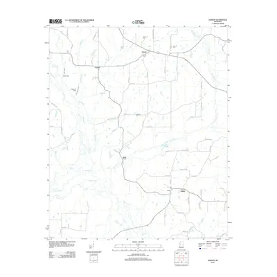
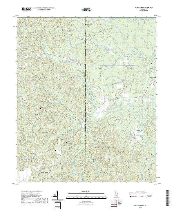 2024 Fearns Springs2024 Print · USGSThe rural borderlands of Winston and Noxubee counties come into focus here, showing a landscape shaped by early settlement and family homesteads. Researchers can locate numerous family burial sites such as Perkinsville Cem, Ruff Cem, and the Choctaw Cem near Dancing Rabbit Creek.
 - 2024 Map of Vernon, 2024 Print
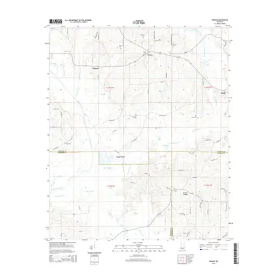
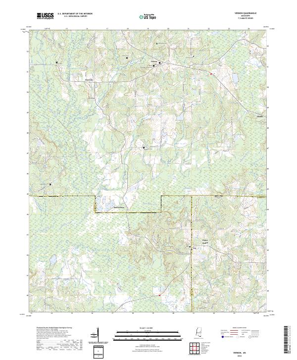 2024 Vernon2024 Print · USGSWinston and Neshoba counties meet in this detailed survey of the rural South during the early twenty-first century. Researchers can trace family history through numerous burial sites like Fulton Cem and explore the historic area surrounding Nanih Waiya.
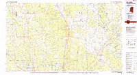
Showing maps 1-25 of 26
Top cities near Nanih Waiya
- Philadelphia historical maps
- Louisville historical maps
- De Kalb historical maps
- Noxapater historical maps
Top neighborhoods of Nanih Waiya
Frequently asked questions
- What are the different types of historical maps available for Nanih Waiya?
- What is the oldest map of Nanih Waiya?
- Where can I purchase historical maps of Nanih Waiya for my home or office?
- Where can I download high-res historical maps of Nanih Waiya?
- Are there historical topographic maps available for Nanih Waiya?
- Is there historical aerial imagery available for Nanih Waiya?
- Where are historical maps of Nanih Waiya sourced from?