2020s Maps of Nanih Waiya, Mississippi
Explore 6 historic maps of Nanih Waiya from the 2020s. These maps offer a rare glimpse into what life looked like during the 2020s — showing old roads, neighborhoods, homes, and landmarks that have changed or disappeared over time.
Whether you're researching your family's past, planning a metal detecting trip, or studying how Nanih Waiya's landscape evolved across the 2020s, these high-resolution maps are a powerful tool for exploring the history of this region.
- Focus on a specific era: All maps on this page are from the 2020s, giving you a focused view of this time period.
- See what’s changed: Compare century-old streets, trails, and buildings to today's modern landscape using overlays and satellite layers.
- Research with precision: Use these maps for genealogy, historical research, land use analysis, or educational projects.
- View, download, or print: Maps are fully viewable online in high resolution, and can be downloaded or printed for your own records.
Start exploring Nanih Waiya's history through authentic maps from the 2020s. This is your window into the past.
Nanih Waiya, MS maps
(6)- 2020 Map of Preston, 2020 Print
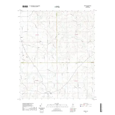 2020 Preston2020 Print · USGSCovers Nanih Waiya, including Preston, Handle, and other nearby areas
 - 2020 Map of Vernon, 2020 Print
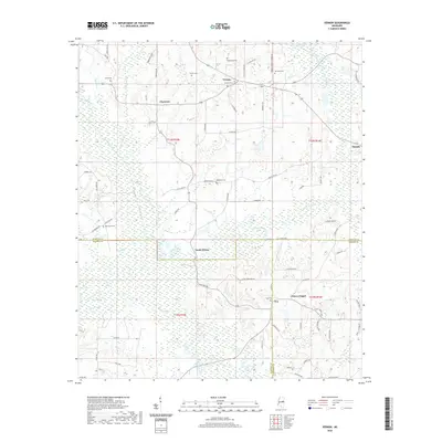 2020 Vernon2020 Print · USGSCovers Nanih Waiya, including Prince Chapel, Vernon, and other nearby areas
 - 2020 Map of Fearns Springs, 2020 Print
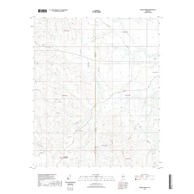 2020 Fearns Springs2020 Print · USGSCovers Nanih Waiya, including Fearns Springs, Triplets Corners, and other nearby areas
 - 2024 Map of Fearns Springs, 2024 Print
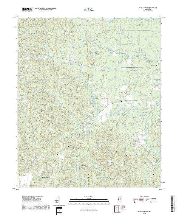 2024 Fearns Springs2024 Print · USGSThe rural borderlands of Winston and Noxubee counties come into focus here, showing a landscape shaped by early settlement and family homesteads. Researchers can locate numerous family burial sites such as Perkinsville Cem, Ruff Cem, and the Choctaw Cem near Dancing Rabbit Creek.
 - 2024 Map of Vernon, 2024 Print
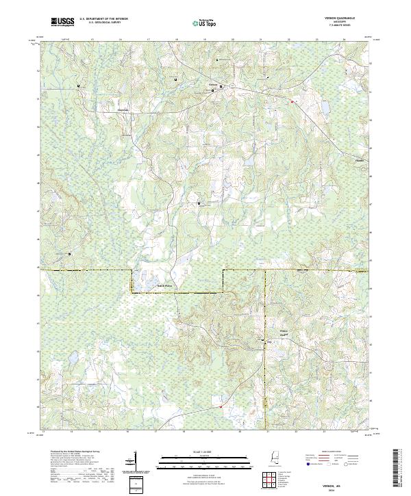 2024 Vernon2024 Print · USGSWinston and Neshoba counties meet in this detailed survey of the rural South during the early twenty-first century. Researchers can trace family history through numerous burial sites like Fulton Cem and explore the historic area surrounding Nanih Waiya.
 - 2024 Map of Preston, 2024 Print
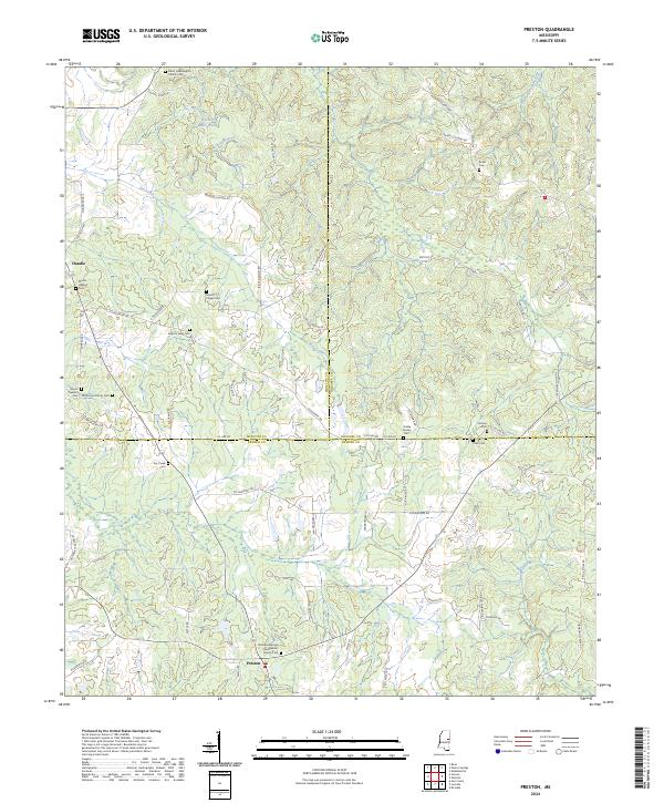 2024 Preston2024 Print · USGSThe crossroads of Winston, Noxubee, and Kemper counties come into focus in this contemporary study of the Mississippi interior. Genealogists can trace family names through numerous rural burial grounds like Rosamond Family Cem and Jackson Field Cem.
End of results
Showing maps 1-6 of 6
Top cities near Nanih Waiya
- Philadelphia historical maps
- Louisville historical maps
- De Kalb historical maps
- Noxapater historical maps
Top neighborhoods of Nanih Waiya
Frequently asked questions
- What are the different types of historical maps available for Nanih Waiya?
- What is the oldest map of Nanih Waiya?
- Where can I purchase historical maps of Nanih Waiya for my home or office?
- Where can I download high-res historical maps of Nanih Waiya?
- Are there historical topographic maps available for Nanih Waiya?
- Is there historical aerial imagery available for Nanih Waiya?
- Where are historical maps of Nanih Waiya sourced from?