
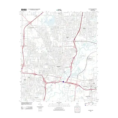
1961 Map of Jackson
USGS Topo · Published 1961About this map
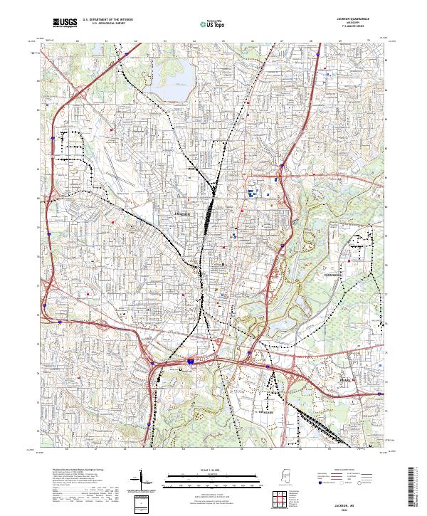
The confluence of the Mississippi River and the Yazoo River dominates this mid-century landscape, a region defined by the winding hydrology of the Delta and the rising loess bluffs at Vicksburg. The settlement pattern reflects the economic reliance on the river and rail, with Tallulah and Lake Providence serving as key hubs on the Louisiana side while the state capital of Jackson anchors the eastern interior. The map illustrates the complex system of oxbows and islands, including Eagle Lake and Centennial Lake, which tell the story of the river's historical shifts and the boundaries between Louisiana parishes and Mississippi counties.
Find a feature on this map
32 named features on this map. Tap any name to fly to it.
Don’t see what you’re looking for? This feature index may not catch every label — zoom into the map to look around manually.
Map Details
Editions of this 1961 Jackson Map
This is the sole edition of this map. No revisions or reprints were ever made.
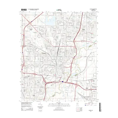
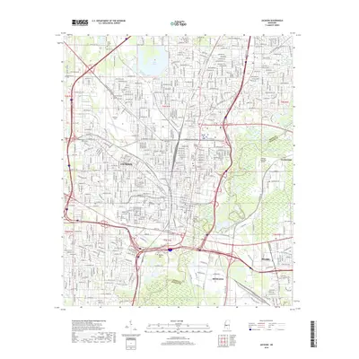
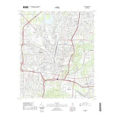
Historical Maps of Jackson Through Time
14 maps found
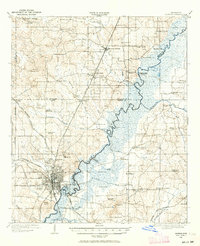
1905 Jackson
Hinds County, MS
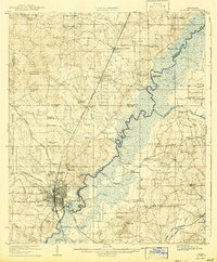
1908 Jackson
Hinds County, MS

1955 Jackson
Hinds County, MS
1961 Jackson
Hinds County, MS

1962 Jackson
Hinds County, MS
1963 Jackson
Hinds County, MS
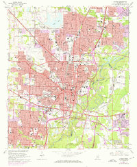
1980 Jackson
Hinds County, MS

1984 Jackson
Hinds County, MS

1998 Jackson
Hinds County, MS
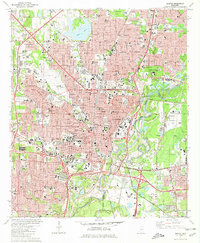
2012 Jackson
Hinds County, MS
2015 Jackson
Hinds County, MS
2018 Jackson
Hinds County, MS
2020 Jackson
Hinds County, MS
2024 Jackson
Hinds County, MS