
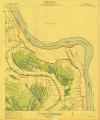
1909 Map of Millikens Bend
USGS Topo · Published 1909About this map
Mississippi River meanders define this section of Madison Parish, where the complex hydrology of the alluvial valley is captured in minute detail. The 1909 landscape is dominated by a series of significant agricultural estates including Herman Plantation, Glen Mary Plantation, and Dal Keith Plantation. These holdings are situated among a labyrinth of oxbows and backwaters like Sunflower Lake, Dead John Lake, and Horseshoe Lake. The map illustrates the precarious nature of settlement near the levee, showing the namesake Millikens Bend and the commerce hub at Hews Store. Further south, the V. S. and P. R. R. cuts across the wetlands toward Barnes, providing a rail link through the bottomlands. Religious life is well-documented through several landmarks, from Mt. Pisgah Church in the northwest to St. Pauls Church near the riverbank at Duck Port, offering a clear view of the parish's social geography before modern river control changed the terrain.
Find a feature on this map
34 named features on this map. Tap any name to fly to it.
Don’t see what you’re looking for? This feature index may not catch every label — zoom into the map to look around manually.
Map Details
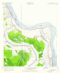
Editions of this 1909 Millikens Bend Map
3 editions found
Other maps of this area

1909 · Tallulah
USGS Topo · 1:24,000

1909 · Mound
USGS Topo · 1:24,000

1910 · Mound
USGS Topo · 1:31,680

1918 · Vicksburg
USGS Topo · 1:62,500

1939 · Onward
USGS Topo · 1:62,500

1939 · Talla Bena
USGS Topo · 1:62,500

1939 · Alsatia
USGS Topo · 1:62,500

1941 · Vicksburg
USGS Topo · 1:62,500

1955 · Jackson
USGS Topo · 1:250,000

1961 · Jackson
USGS Topo · 1:250,000