
1918 Map of Vicksburg
USGS Topo · Published 1918About this map
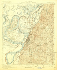
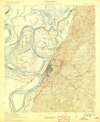
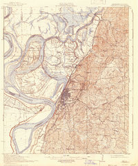
The city of Vicksburg and its strategic river setting dominate this landscape just before the end of the Great War. The river geography is particularly complex here, showing the Yazoo River Diversion Canal and the remnants of Grants Canal near De Soto Island. The terrain transitions from the alluvial bottomlands of the Mississippi River to the high bluffs where the Vicksburg National Military Park preserves the siege lines.
Find a feature on this map
80 named features on this map. Tap any name to fly to it.
Don’t see what you’re looking for? This feature index may not catch every label — zoom into the map to look around manually.
Map Details
Editions of this 1918 Vicksburg Map
4 editions found
Other maps of this area

1909 · Millikens Bend
USGS Topo · 1:24,000

1909 · Mound
USGS Topo · 1:24,000

1910 · Mound
USGS Topo · 1:31,680

1938 · Edwards
USGS Topo · 1:62,500

1939 · Onward
USGS Topo · 1:62,500

1939 · Talla Bena
USGS Topo · 1:62,500

1939 · Yokena
USGS Topo · 1:62,500

1939 · Alsatia
USGS Topo · 1:62,500

1940 · Mechanicsburg
USGS Topo · 1:62,500

1941 · Vicksburg
USGS Topo · 1:62,500