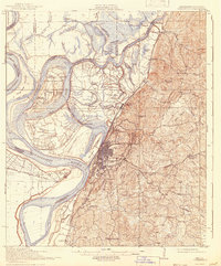
1918 Map of Vicksburg
USGS Topo · Published 1942About this map
The Vicksburg riverfront is defined by the complex hydrology of the Mississippi River and the Yazoo River, showing the dramatic shift at Centennial Lake and the Diversion Canal that altered the city's waterfront. The rugged terrain east of the city is dominated by the Vicksburg National Military Park, while the surrounding lowlands are marked by extensive agricultural holdings like Taylor Plantation and Williams Plantations. This survey captures the region's intense reliance on both water and rail transportation, with the Yazoo and Mississippi Valley and Illinois Central railroads providing critical inland connections.
Find a feature on this map
72 named features on this map. Tap any name to fly to it.
Don’t see what you’re looking for? This feature index may not catch every label — zoom into the map to look around manually.
Map Details
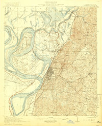
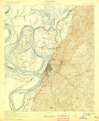
Editions of this 1918 Vicksburg Map
4 editions found
Other maps of this area

1909 · Millikens Bend
USGS Topo · 1:24,000

1909 · Mound
USGS Topo · 1:24,000

1910 · Mound
USGS Topo · 1:31,680

1918 · Vicksburg
USGS Topo · 1:62,500

1938 · Edwards
USGS Topo · 1:62,500

1939 · Onward
USGS Topo · 1:62,500

1939 · Talla Bena
USGS Topo · 1:62,500

1939 · Yokena
USGS Topo · 1:62,500

1939 · Alsatia
USGS Topo · 1:62,500

1940 · Mechanicsburg
USGS Topo · 1:62,500