Loading...
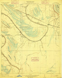
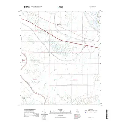
Loading map...1910 Map of Mound
USGS Topo · Published 1910About this map
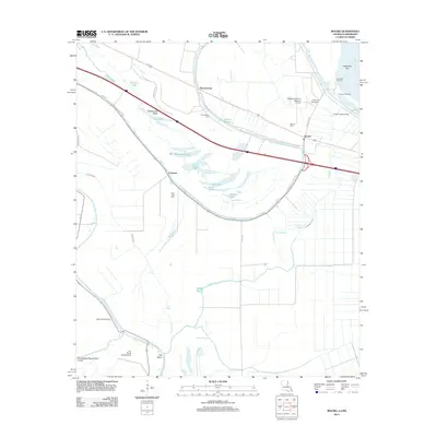
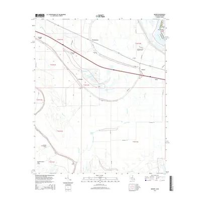
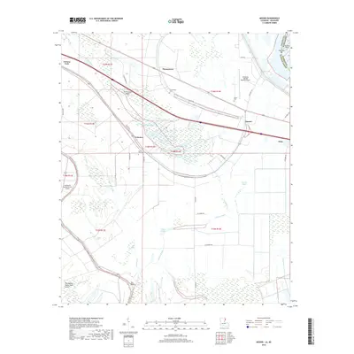
The plantation economy and its intricate relationship with the Mississippi floodplain define this 1909 survey of Madison Parish. Dominating the landscape is the Vicksburg Shreveport And Pacific R. R., which parallels the winding course of Walnut Bayou. This corridor is a concentrated string of early 20th-century commerce and agriculture, including the Mexico Store, Blue Front Store, and major agricultural holdings like California Plantation and Alcadone Plantation.
Find a feature on this map
45 named features on this map. Tap any name to fly to it.
Don’t see what you’re looking for? This feature index may not catch every label — zoom into the map to look around manually.
Map Details
Date Portrayed1910
Date Published1910
PublisherU.S. Geological Survey
Map TypeTopographic
Scale1:31,680
Physical Dimensions15.6 x 19.4 inches
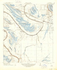
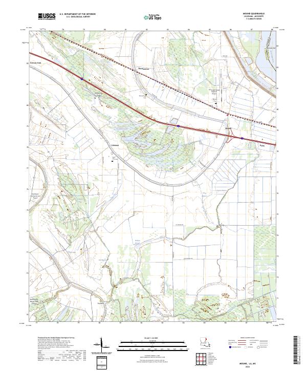
Editions of this 1910 Mound Map
2 editions found
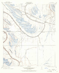
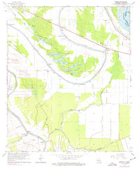
Historical Maps of Delta Through Time
9 maps found
Featured Locations
Source Details
SourceU.S. Geological Survey
CopyrightPublic Domain