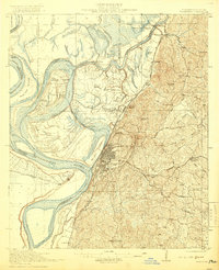
1918 Map of Vicksburg
USGS Topo · Published 1919About this map
Vicksburg National Military Park and the adjacent National Cemetery dominate the bluffs overlooking the river bends, serving as a prominent record of the region's Civil War significance. The landscape is a complex network of waterways, where the Mississippi River and Yazoo River interact with the Yazoo River Diversion Canal and Centennial Lake, illustrating the ongoing engineering efforts to manage the river's path and protect the city.
Find a feature on this map
78 named features on this map. Tap any name to fly to it.
Don’t see what you’re looking for? This feature index may not catch every label — zoom into the map to look around manually.
Map Details
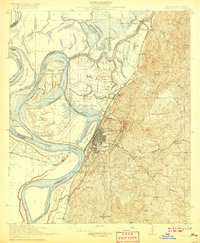
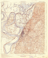
Editions of this 1918 Vicksburg Map
4 editions found
Other maps of this area

1909 · Millikens Bend
USGS Topo · 1:24,000

1909 · Mound
USGS Topo · 1:24,000

1910 · Mound
USGS Topo · 1:31,680

1918 · Vicksburg
USGS Topo · 1:62,500

1938 · Edwards
USGS Topo · 1:62,500

1939 · Onward
USGS Topo · 1:62,500

1939 · Talla Bena
USGS Topo · 1:62,500

1939 · Yokena
USGS Topo · 1:62,500

1939 · Alsatia
USGS Topo · 1:62,500

1940 · Mechanicsburg
USGS Topo · 1:62,500