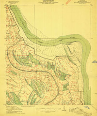
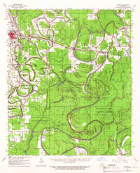
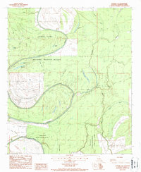
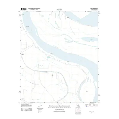
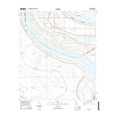
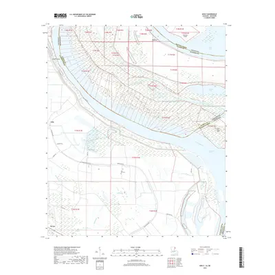
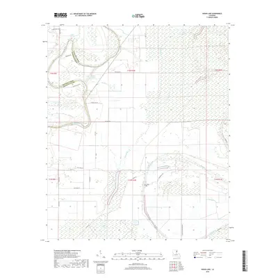
1909 Map of Millikens Bend
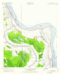
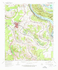
USGS Topo · Published 1961About this map
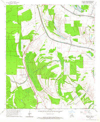
Millikens Bend and the surrounding riverfront of Madison Parish reveal a landscape shaped by the shifting course of the Mississippi River. At the time of this 1909 survey, the region was defined by an extensive network of agrarian estates, including the Sparta Plantation, Glen Mary Plantation, and Cabin Teele Plantation. These large holdings relied on the intricate waterways of the delta, such as Walnut Bayou and Sunflower Lake, which represent abandoned river channels from earlier eras. The presence of several community anchors like Paradise Church and Bethlehem Church near the river’s edge suggests established settlements along the levee system. In the southern portion of the quadrangle, the V S and P RR cuts through the lowlands, connecting the river economy to the broader rail network. This map provides a precise look at the land use and topographic nuances of a classic Mississippi floodplain before modern levee reinforcements further altered the natural hydrology.
Find a feature on this map
35 named features on this map. Tap any name to fly to it.
Don’t see what you’re looking for? This feature index may not catch every label — zoom into the map to look around manually.
Map Details
Editions of this 1909 Millikens Bend Map
3 editions found
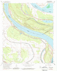
Historical Maps of Peelers Through Time
39 maps found
1909 Millikens Bend
Madison Parish, LA
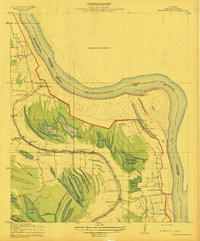
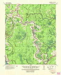
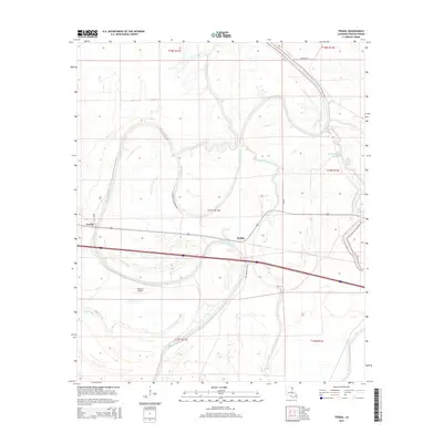
1935 Waverly
Madison Parish, LA
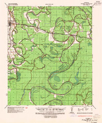
1939 Onward
Madison Parish, LA
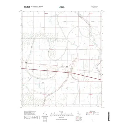
1939 Talla Bena
Madison Parish, LA
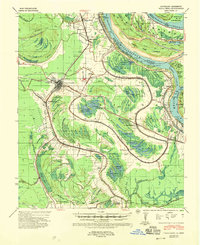
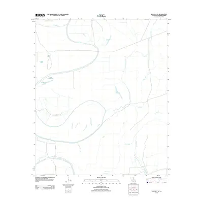
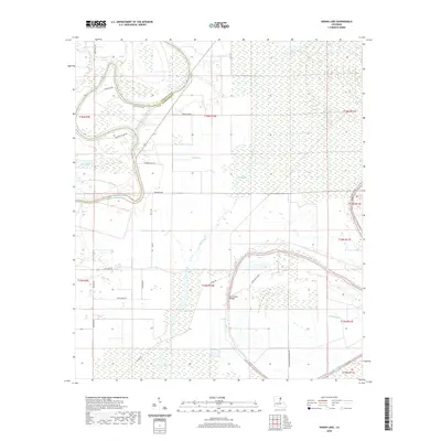
1961 Waverly
Madison Parish, LA
1963 Ashly
Madison Parish, LA
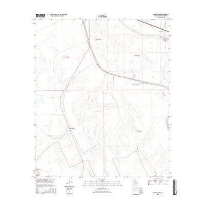
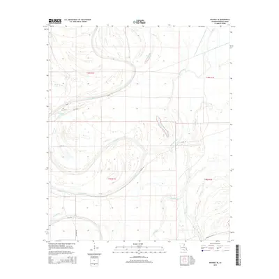
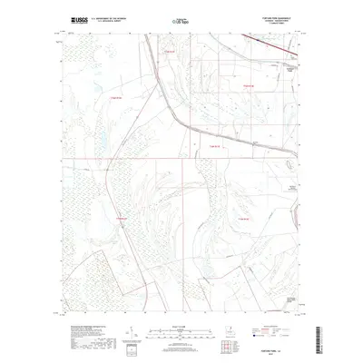
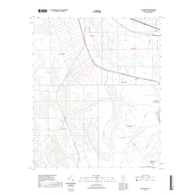
1963 Fortune Fork
Madison Parish, LA
1965 Talla Bena
Madison Parish, LA
1986 Tendal
Madison Parish, LA
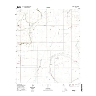
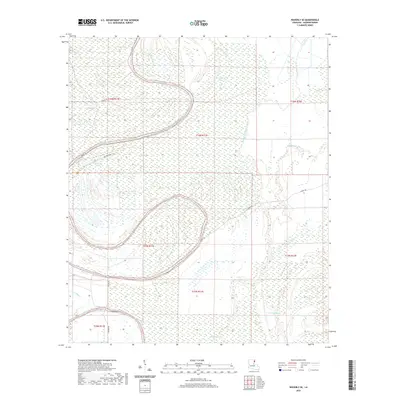
1987 Indian Lake
Madison Parish, LA
1987 Waverly SE
Madison Parish, LA
1994 Fortune Fork
Madison Parish, LA
1998 Ashly
Madison Parish, LA
1998 Indian Lake
Madison Parish, LA
2012 Ashly
Madison Parish, LA
2012 Fortune Fork
Madison Parish, LA
2012 Indian Lake
Madison Parish, LA
2012 Tendal
Madison Parish, LA
2012 Waverly SE
Madison Parish, LA
2015 Ashly
Madison Parish, LA
2015 Fortune Fork
Madison Parish, LA
2015 Indian Lake
Madison Parish, LA
2015 Tendal
Madison Parish, LA
2015 Waverly SE
Madison Parish, LA
2018 Ashly
Madison Parish, LA
2018 Fortune Fork
Madison Parish, LA
2018 Indian Lake
Madison Parish, LA
2018 Tendal
Madison Parish, LA
2018 Waverly SE
Madison Parish, LA
2020 Ashly
Madison Parish, LA
2020 Fortune Fork
Madison Parish, LA
2020 Indian Lake
Madison Parish, LA
2020 Tendal
Madison Parish, LA
2020 Waverly SE
Madison Parish, LA
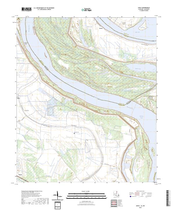
2024 Ashly
Madison Parish, LA
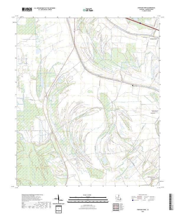
2024 Fortune Fork
Madison Parish, LA
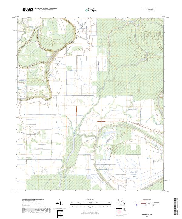
2024 Indian Lake
Madison Parish, LA
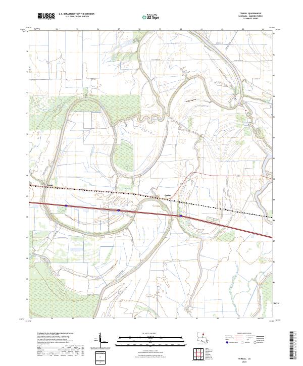
2024 Tendal
Madison Parish, LA
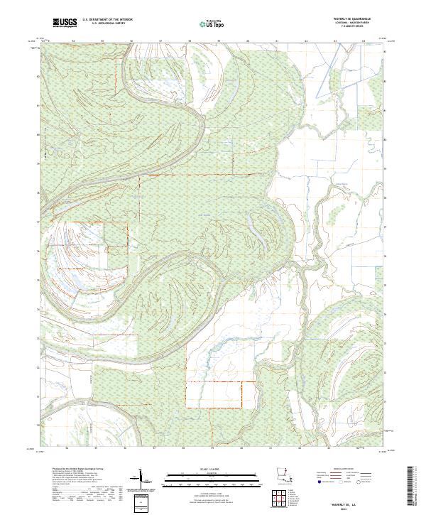
2024 Waverly SE
Madison Parish, LA