Old Maps of Cameta, Mississippi
Explore 12 old maps of Cameta, spanning from 1939 to today. These high-resolution historic maps reveal how streets, neighborhoods, landmarks, and natural features evolved over time — perfect for genealogy, metal detecting, research, and local history exploration.
What you can do with these maps:
- See how Cameta changed over time: Compare historical maps to modern-day views to trace roads, homesites, rail lines & more.
- View detailed metadata: Each map includes creators, publishers, year, scale, and archive source.
- Overlay maps with satellite & LiDAR: Visualize the past alongside modern tools to explore terrain & human change.
- Trusted historical sources: Maps sourced from the USGS, Library of Congress, and other archives.
- Access maps your way: View online, download high-res files, or order prints for personal or research use.
Start exploring old maps of Cameta to uncover forgotten places, hidden landmarks, and the deep history beneath your feet.
Cameta, MS maps
(12)- 1939 Map of Swan Lake, 1966 Print
 1939 Swan Lake1966 Print · USGSThe Mississippi Delta's intricate water and rail networks are captured here during the late 1930s. Researchers can locate numerous plantation-era settlements and landmarks including Indian Mounds, the community of Nitta Yuma, and the grounds of Leroy Percy State Park.
 - 1953 Map of Greenwood, 1966 Print
 1953 Greenwood1966 Print · USGSThe Mississippi Delta in the mid-fifties is captured here as a thriving network of river towns, railroads, and oxbow lakes. Researchers can trace the legacy of the Illinois Central Railroad and locate landmarks like the State Penal Farm and Greenville Air Force Base.5 unique versions available
 - 1956 Map of Greenwood
 1956 Greenwood1956 Print · USGSThe Mississippi Delta in the mid-fifties is captured here during a period of significant military and agricultural activity. Researchers can trace the rail lines of the Illinois Central RR, find the Greenville Air Force Base, or locate the State Penal Farm.
 - 1968 Map of Delta City, 1970 Print
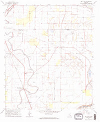 1968 Delta City1970 Print · USGSThe Mississippi Delta's agricultural landscape is captured here in the late sixties as rail and river networks defined local life. Trace family roots and vanished landmarks near Delta City, Nitta Yuma, and several Indian Mounds along the Illinois Central.2 unique versions available
 - 1969 Map of Swan Lake
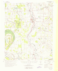 1969 Swan Lake1969 Print · USGSThe Mississippi Delta in the late sixties reveals a landscape of productive cotton fields and vital wetlands along Deer Creek. Genealogists can trace family names at Bellamy Cem, visit Simmons Sch, or locate the historic siding at Panther Burn.
 - 1984 Map of Indianola, 1985 Print
 1984 Indianola1985 Print · USGSThe Mississippi Delta of the mid-1980s reveals a landscape of fertile bottomlands shaped by the Sunflower River and Yazoo River. Researchers can trace the rail-and-river economy through landmarks like Saints College, the Leflore Cemetery, and the Columbus and Greenville Railway.
 - 1994 Map of Indianola
 1994 Indianola1994 Print · USGSThe Mississippi Delta's rich agricultural heartland is documented here in the mid-1990s, showing a landscape defined by meandering rivers and rail lines. Genealogists and historians can trace family roots in rural settlements like Nitta Yuma and Midnight or locate the sprawling Yazoo National Wildlife Refuge.
 - 2012 Map of Delta City, 2012 Print
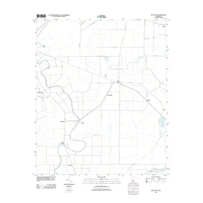 2012 Delta City2012 Print · USGSThe Mississippi Delta's agricultural heartland is documented here in the early twenty-first century, showing the enduring layout of rural Sharkey County. Local researchers can trace family roots through historic sites like Mount Zion Cem and the communities of Nitta Yuma and Panther Burn.
 - 2015 Map of Delta City, 2015 Print
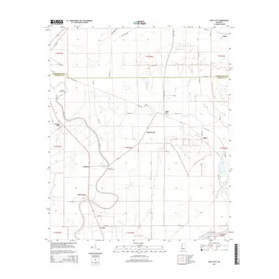 2015 Delta City2015 Print · USGSMississippi Delta life in the early 21st century is centered around agricultural outposts and winding bayous. Trace the roots of local communities at Nitta Yuma and Panther Burn, or locate family sites like Mount Zion Cem and Georgia Bend Cem.
 - 2018 Map of Delta City, 2018 Print
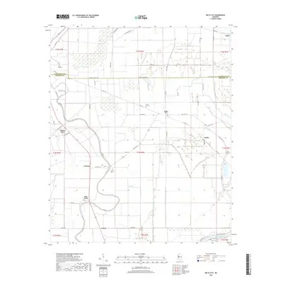 2018 Delta City2018 Print · USGSThe Mississippi Delta bottomlands of Sharkey and Washington Counties are captured here in the late twenty-teens. Genealogists can locate family sites at Vickland Cem or Mount Zion Cem and trace the paths between Panther Burn and Nitta Yuma.
 - 2020 Map of Delta City, 2020 Print
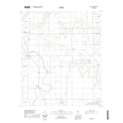 2020 Delta City2020 Print · USGSThe Mississippi Delta in the modern era continues to be a landscape of tight-knit agricultural settlements and ancient waterways. Genealogists can trace family landmarks across the Sharkey and Washington County line, including Delta City Cem, Panther Burn, and Nitta Yuma.
 - 2024 Map of Delta City, 2024 Print
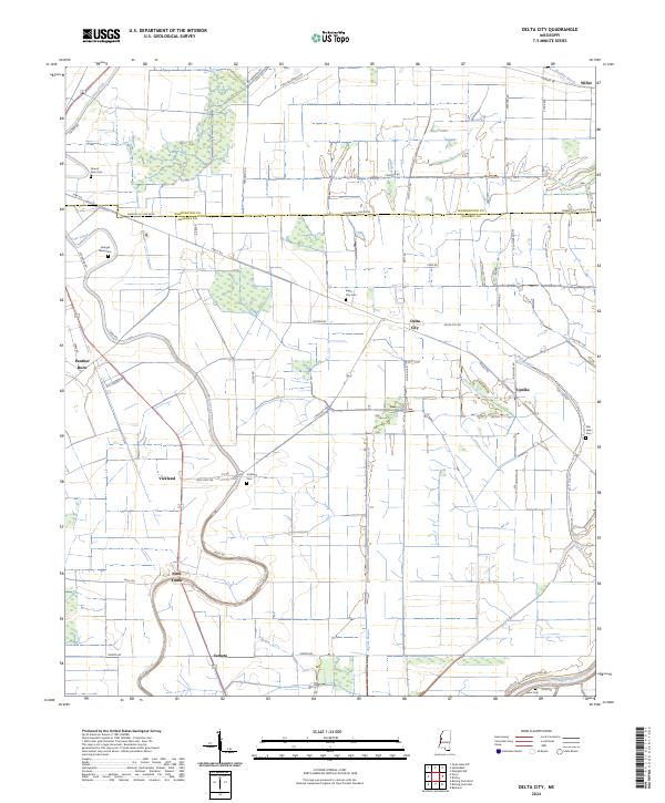 2024 Delta City2024 Print · USGSThe Yazoo-Mississippi Delta is captured in recent detail, showing a landscape defined by its bayous and historic agricultural communities. Researchers can trace the layout of Nitta Yuma and Panther Burn, or locate sites like Mount Zion Cem and Vickland Cem.
End of results
Showing maps 1-12 of 12
Top cities near Cameta
- Hollandale historical maps
- Rolling Fork historical maps
- Anguilla historical maps
- Mayersville historical maps
- Cary historical maps
Frequently asked questions
- What are the different types of historical maps available for Cameta?
- What is the oldest map of Cameta?
- Where can I purchase historical maps of Cameta for my home or office?
- Where can I download high-res historical maps of Cameta?
- Are there historical topographic maps available for Cameta?
- Is there historical aerial imagery available for Cameta?
- Where are historical maps of Cameta sourced from?