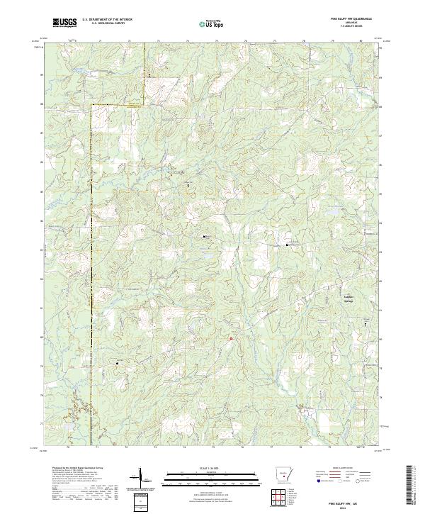
2024 Map of Pine Bluff NW
USGS Topo · Published 2024About this map
Sulphur Springs sits at the heart of this landscape where the undulating terrain of Jefferson County transitions toward the lowlands of Bayou Bartholomew. The map details a rural network of homesteads and timberlands, connected by historic routes like the Princeton Pike and State Hwy 190. Waterways define the local geography, from the meandering Pumpkinvine Creek in the north to the southern reaches of Allgood Creek and Dyson Creek. Small family and community burial grounds, including Heutt Cem, Philips Cem, and Branch Cem, are scattered across the townships, providing a clear record of local settlement patterns and genealogy. Significant water features such as Robinson Lake and Ta-Lo-Ha-Lake punctuate the drainage basins of Johnson Creek and Big Creek, illustrating how the natural hydrology has been managed or utilized within these rural sections.
Find a feature on this map
85 named features on this map. Tap any name to fly to it.
Don’t see what you’re looking for? This feature index may not catch every label — zoom into the map to look around manually.
Map Details
Editions of this 2024 Pine Bluff NW Map
This is the sole edition of this map. No revisions or reprints were ever made.
Other maps of this area

1932 · Pastoria
USGS Topo · 1:62,500

1935 · Pastoria
USGS Topo · 1:62,500

1955 · Little Rock
USGS Topo · 1:250,000

1956 · Little Rock
USGS Topo · 1:250,000

1960 · Little Rock
USGS Topo · 1:250,000

1962 · Pine Bluff
USGS Topo · 1:24,000

1962 · Faith
USGS Topo · 1:24,000

1962 · Pine Bluff NW
USGS Topo · 1:24,000

1962 · Kedron
USGS Topo · 1:24,000

1964 · Little Rock
USGS Topo · 1:250,000