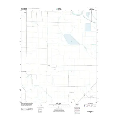
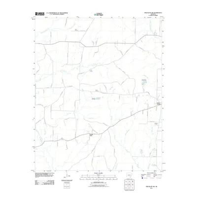
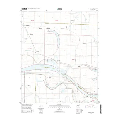
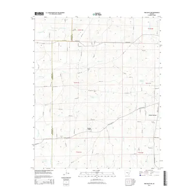
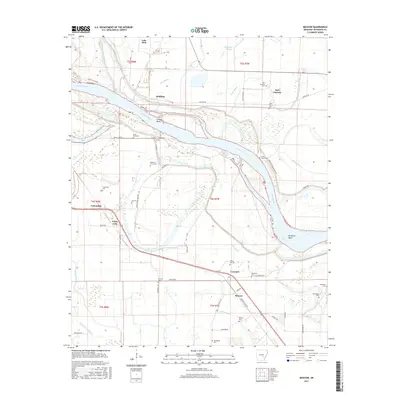
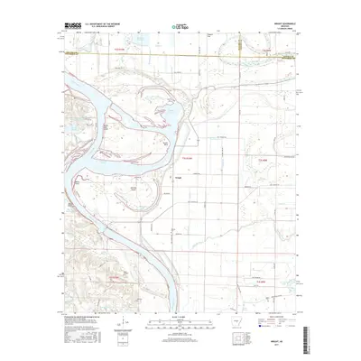
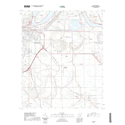
2024 Map of Rob Roy
USGS Topo · Published 2024About this map
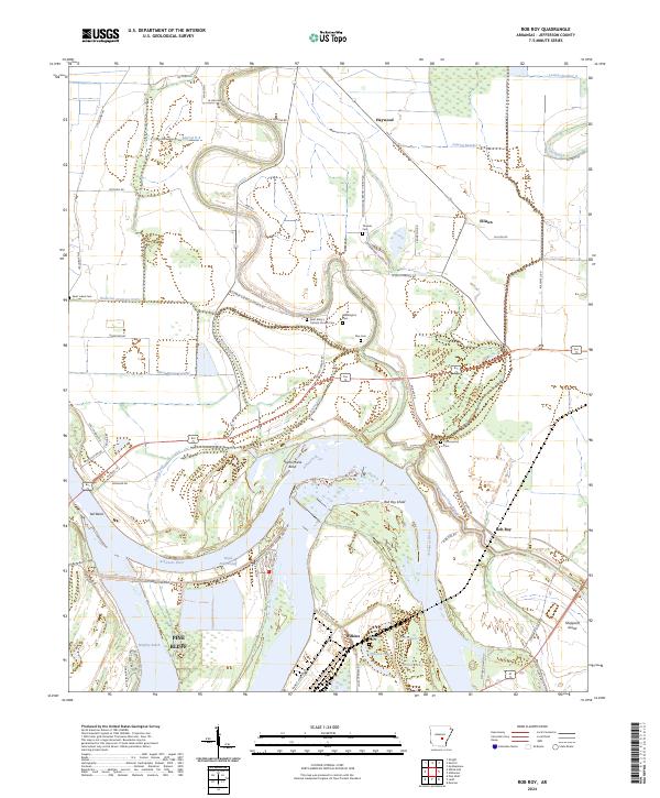
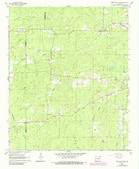
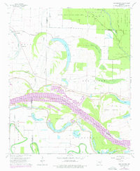
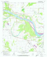
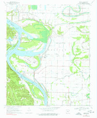
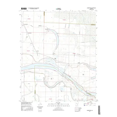
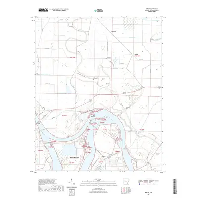
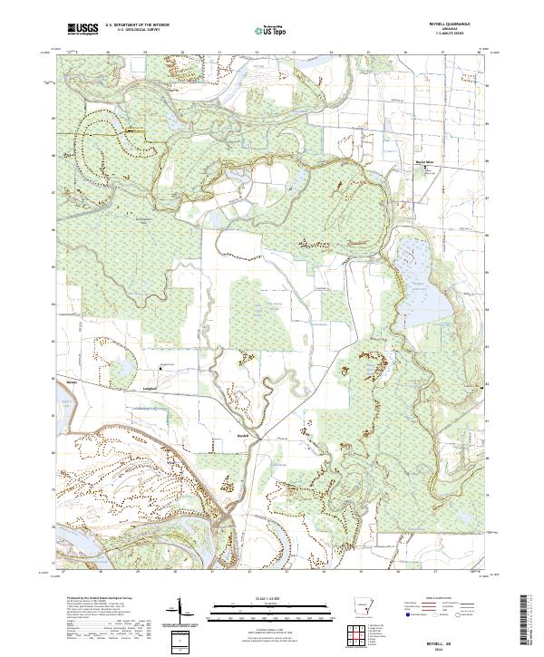
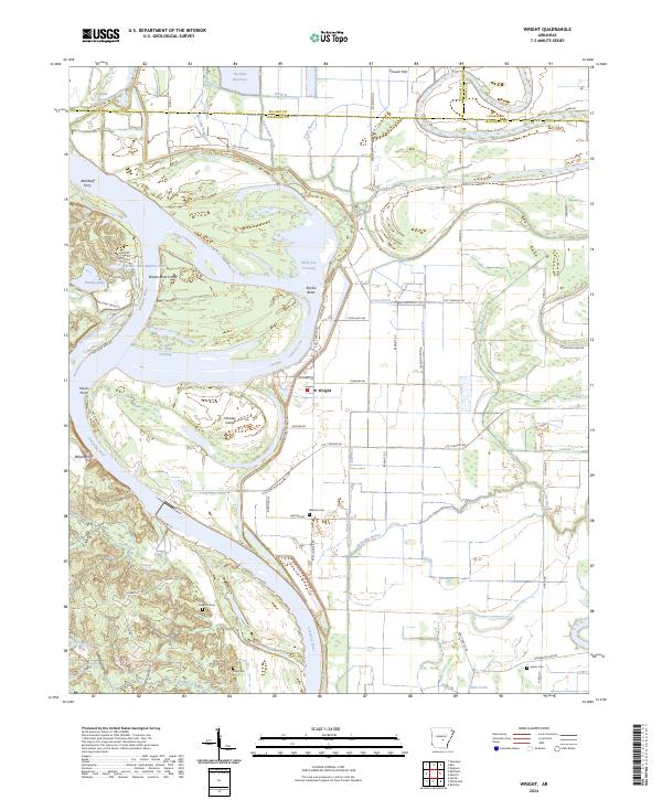
The Arkansas River carves a dramatic path through this Jefferson County landscape, creating a series of sharp bends and oxbows including Sainte Marie Bend and Yell Bend. The river's influence is evident in the complex hydrography of the region, from the Boyd Point Cutoff to the quiet waters of Wilkins Lake and Willow Lake. The map reveals a land defined by its relationship to water, where drainage ditches like the Waterloo Drainage Ditch and numerous laterals manage the low-lying terrain near settlements such as Rob Roy and Haywood.
Find a feature on this map
65 named features on this map. Tap any name to fly to it.
Don’t see what you’re looking for? This feature index may not catch every label — zoom into the map to look around manually.
Map Details
Editions of this 2024 Rob Roy Map
This is the sole edition of this map. No revisions or reprints were ever made.
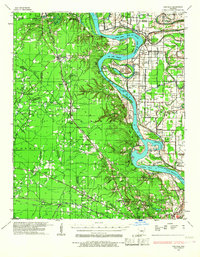
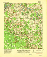
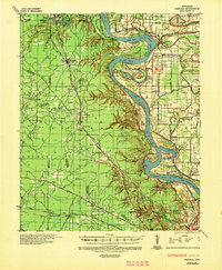
Historical Maps of Pine Bluff Through Time
59 maps found
1932 Pastoria
Jefferson County, AR
1935 Noble Lake
Jefferson County, AR
1935 Pastoria
Jefferson County, AR
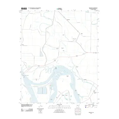
1962 Pine Bluff NW
Jefferson County, AR
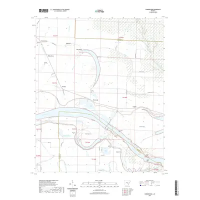
1964 Cornerstone
Jefferson County, AR
1964 Gethsemane
Jefferson County, AR
1964 Ladd
Jefferson County, AR
1964 Moscow
Jefferson County, AR
1964 Reydell
Jefferson County, AR
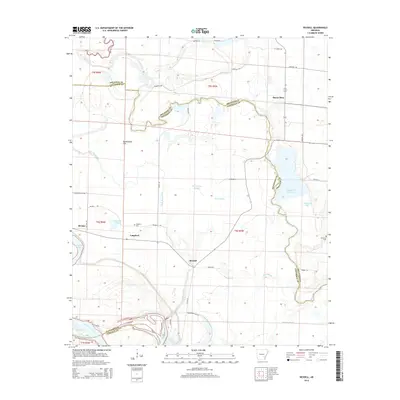
1964 Rob Roy
Jefferson County, AR
1970 Hardin
Jefferson County, AR
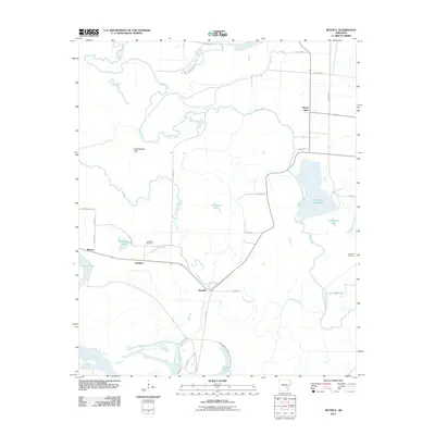
1970 Wright
Jefferson County, AR
1973 Cornerstone
Jefferson County, AR
1978 Noble Lake
Jefferson County, AR
2011 Cornerstone
Jefferson County, AR
2011 Gethsemane
Jefferson County, AR
2011 Hardin
Jefferson County, AR
2011 Ladd
Jefferson County, AR
2011 Moscow
Jefferson County, AR
2011 Pine Bluff NW
Jefferson County, AR
2011 Reydell
Jefferson County, AR
2011 Rob Roy
Jefferson County, AR
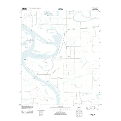
2011 Wright
Jefferson County, AR
2014 Cornerstone
Jefferson County, AR
2014 Gethsemane
Jefferson County, AR
2014 Hardin
Jefferson County, AR

2014 Ladd
Jefferson County, AR
2014 Moscow
Jefferson County, AR
2014 Pine Bluff NW
Jefferson County, AR
2014 Reydell
Jefferson County, AR
2014 Rob Roy
Jefferson County, AR
2014 Wright
Jefferson County, AR
2017 Cornerstone
Jefferson County, AR
2017 Gethsemane
Jefferson County, AR
2017 Hardin
Jefferson County, AR
2017 Ladd
Jefferson County, AR
2017 Moscow
Jefferson County, AR
2017 Pine Bluff NW
Jefferson County, AR
2017 Reydell
Jefferson County, AR
2017 Rob Roy
Jefferson County, AR
2017 Wright
Jefferson County, AR
2020 Cornerstone
Jefferson County, AR
2020 Gethsemane
Jefferson County, AR
2020 Hardin
Jefferson County, AR
2020 Ladd
Jefferson County, AR
2020 Moscow
Jefferson County, AR
2020 Pine Bluff NW
Jefferson County, AR
2020 Reydell
Jefferson County, AR
2020 Rob Roy
Jefferson County, AR
2020 Wright
Jefferson County, AR
2024 Cornerstone
Jefferson County, AR
2024 Gethsemane
Jefferson County, AR
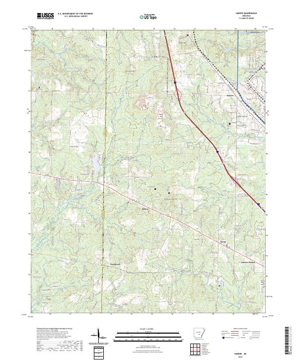
2024 Hardin
Jefferson County, AR
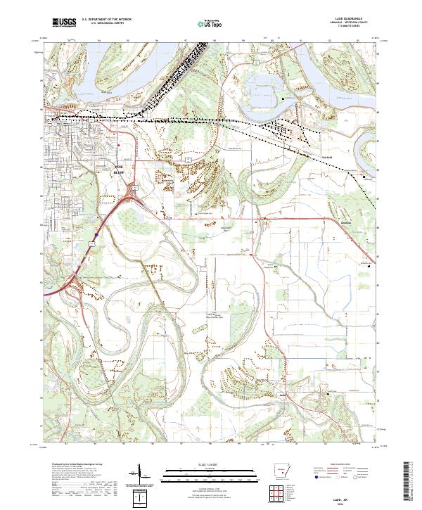
2024 Ladd
Jefferson County, AR
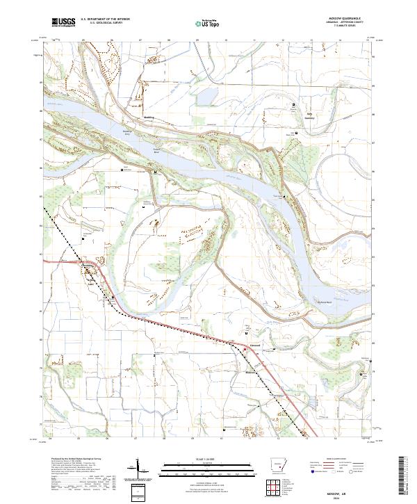
2024 Moscow
Jefferson County, AR
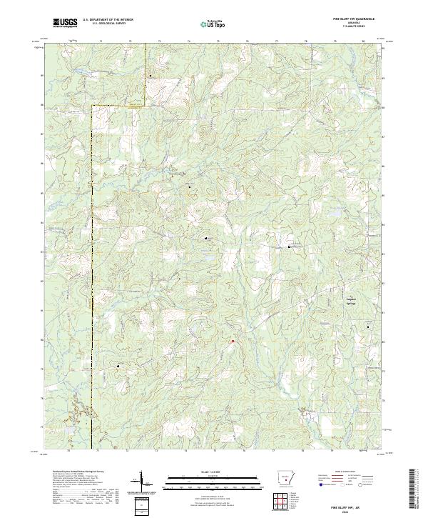
2024 Pine Bluff NW
Jefferson County, AR
2024 Reydell
Jefferson County, AR
2024 Rob Roy
Jefferson County, AR
2024 Wright
Jefferson County, AR