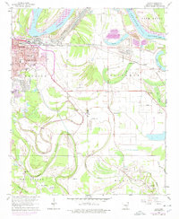
1964 Map of Ladd
USGS Topo · Published 1978About this map
Arkansas River navigation and the expanding eastern edges of Pine Bluff define this mid-century topographic record. The landscape is a complex network of bayous and brakes, including Bartholomew Bayou, Imbeau Bayou, and Alice Brake, which reveal the hydrological history of the Plum Bayou region. Industrial and transport infrastructure is prominent, from the Lock & Dam No 4 on the river to the intersecting lines of the St Louis Southwestern and Missouri Pacific railroads.
Find a feature on this map
59 named features on this map. Tap any name to fly to it.
Don’t see what you’re looking for? This feature index may not catch every label — zoom into the map to look around manually.
Map Details
Editions of this 1964 Ladd Map
3 editions found
Other maps of this area

1932 · Pastoria
USGS Topo · 1:62,500

1935 · Altheimer
USGS Topo · 1:62,500

1935 · Pastoria
USGS Topo · 1:62,500

1935 · Noble Lake
USGS Topo · 1:62,500

1948 · Helena
USGS Topo · 1:250,000

1950 · Helena
USGS Topo · 1:250,000

1955 · Helena
USGS Topo · 1:250,000

1955 · Little Rock
USGS Topo · 1:250,000

1956 · Little Rock
USGS Topo · 1:250,000

1959 · Helena
USGS Topo · 1:250,000