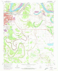
1964 Map of Ladd
USGS Topo · Published 1973About this map
The southeast edge of Pine Bluff and its rural hinterlands are captured in this mid-century survey, documenting a landscape where urban expansion meets the meandering waters of the Arkansas River. The transition from city streets to the alluvial plains of Plum Bayou is marked by a dense network of country churches and small schools, reflecting the dispersed nature of local agricultural communities. Aviation and industrial infrastructure are prominently featured at Grider Field and various radio facilities, while the river's influence is seen in the levees and the industrial Tailings Pond near Boyd Point.
Find a feature on this map
55 named features on this map. Tap any name to fly to it.
Don’t see what you’re looking for? This feature index may not catch every label — zoom into the map to look around manually.
Map Details
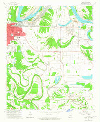
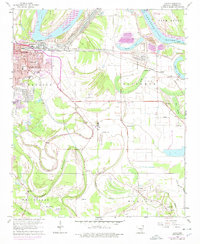
Editions of this 1964 Ladd Map
3 editions found
Other maps of this area

1932 · Pastoria
USGS Topo · 1:62,500

1935 · Altheimer
USGS Topo · 1:62,500

1935 · Pastoria
USGS Topo · 1:62,500

1935 · Noble Lake
USGS Topo · 1:62,500

1948 · Helena
USGS Topo · 1:250,000

1950 · Helena
USGS Topo · 1:250,000

1955 · Helena
USGS Topo · 1:250,000

1955 · Little Rock
USGS Topo · 1:250,000

1956 · Little Rock
USGS Topo · 1:250,000

1959 · Helena
USGS Topo · 1:250,000