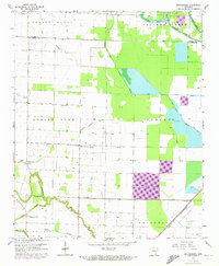
1964 Map of Gethsemane
USGS Topo · Published 1973About this map
Gethsemane and the surrounding agricultural bottomlands sit at the boundary of Lonoke and Jefferson counties during the early 1970s. The landscape is defined by an intricate network of waterways, including the winding Wabbaseka Bayou and Plum Bayou, which are supported by a system of man-made drainage ditches. This survey captures a rural Arkansas community connected by the St Louis Southwestern railroad and several private airstrips like the Henderson Landing Strip. Local life centers around a cluster of country churches such as Jerusalem Ch and Oak Grove Ch, while the McClung Sch represents the educational footprint of the area. Significant portions of the terrain, like Roberts and Dunnington, demonstrate the transition from marshy brakes to managed cropland, punctuated by numerous wells and a pipeline corridor.
Find a feature on this map
32 named features on this map. Tap any name to fly to it.
Don’t see what you’re looking for? This feature index may not catch every label — zoom into the map to look around manually.
Map Details
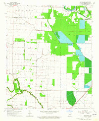
Editions of this 1964 Gethsemane Map
2 editions found
Other maps of this area

1935 · Altheimer
USGS Topo · 1:62,500

1937 · Stuttgart
USGS Topo · 1:62,500

1937 · England
USGS Topo · 1:48,000

1939 · Stuttgart
USGS Topo · 1:62,500

1941 · Goldman
USGS Topo · 1:62,500

1943 · England
USGS Topo · 1:62,500

1948 · Helena
USGS Topo · 1:250,000

1950 · Helena
USGS Topo · 1:250,000

1955 · Helena
USGS Topo · 1:250,000

1959 · Helena
USGS Topo · 1:250,000