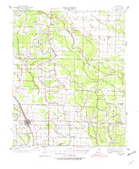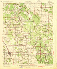
1943 Map of England
USGS Topo · Published 1943About this map
England serves as the primary hub in this Lonoke County landscape, where the St Louis Southwestern Railroad cuts through the southwestern corner. The region is defined by an intricate network of waterways like Indian Bayou, Salt Bayou, and Crooked Creek, which shaped the placement of early settlements and agricultural boundaries. This 1937 survey, published during the war years, reveals a dense distribution of rural institutions including the Macedonia Sch and Tomberlins Sch, alongside numerous country churches such as Shiloh Ch and Green Olive Ch. The drainage patterns, marked by features like Metor Ditch and Polecat Bayou, reflect the intensive land management required for farming in the Arkansas delta. Genealogists can trace family footprints through various school districts and the Mulberry Cem, which stands south of the main town site.
Find a feature on this map
58 named features on this map. Tap any name to fly to it.
Don’t see what you’re looking for? This feature index may not catch every label — zoom into the map to look around manually.
Map Details
Editions of this 1943 England Map
This is the sole edition of this map. No revisions or reprints were ever made.
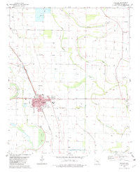
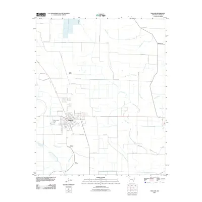
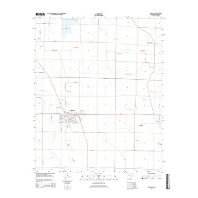
Historical Maps of England Through Time
8 maps found