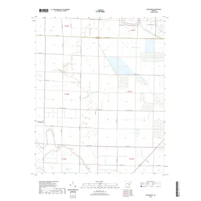
2020 Map of Gethsemane
USGS Topo · Published 2020About this map
Wabbaseka Bayou and Indian Woman Bayou meander through this agricultural landscape at the border of Jefferson and Lonoke counties. The settlement of Gethsemane anchors the western side of the sheet, surrounded by a grid of rural roads and drainage features like Lateral Number 8. The terrain is defined by low-lying wetlands and sluggish watercourses, including Coon Bayou and Flat Bayou, which illustrate the complex hydrology of the Arkansas Delta. These drainage patterns, coupled with labels like Bradley Slough and Crooked Creek, show how the natural bayou system has been managed for land use. The map provides a precise look at the 2020 road network, from Murchison Rd to Wabbaseka Rd, marking the contemporary footprint of this rural community.
Find a feature on this map
43 named features on this map. Tap any name to fly to it.
Don’t see what you’re looking for? This feature index may not catch every label — zoom into the map to look around manually.
Map Details
Editions of this 2020 Gethsemane Map
This is the sole edition of this map. No revisions or reprints were ever made.
Other maps of this area

1935 · Altheimer
USGS Topo · 1:62,500

1937 · Stuttgart
USGS Topo · 1:62,500

1937 · England
USGS Topo · 1:48,000

1939 · Stuttgart
USGS Topo · 1:62,500

1941 · Goldman
USGS Topo · 1:62,500

1943 · England
USGS Topo · 1:62,500

1948 · Helena
USGS Topo · 1:250,000

1950 · Helena
USGS Topo · 1:250,000

1955 · Helena
USGS Topo · 1:250,000

1959 · Helena
USGS Topo · 1:250,000