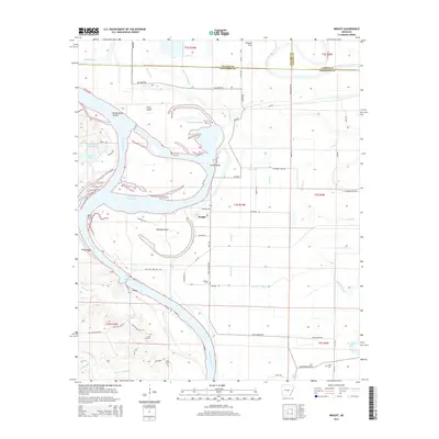
2014 Map of Wright
USGS Topo · Published 2014About this map
The Arkansas River carves a complex path through this corner of Jefferson County, where the settlement of Wright serves as a central point in a landscape defined by alluvial shifts and water management. Significant hydrological features like Brodie Bend, the Brodie Bend Cutoff, and Hensley Island illustrate the river's historical meanders and the engineering efforts to navigate them, including Pool Five. The surrounding lowlands are crisscrossed by a network of drainage ditches such as Lateral F and the Main Canal, which support the agricultural tracts between Possum Flat and the riverbanks.
Find a feature on this map
81 named features on this map. Tap any name to fly to it.
Don’t see what you’re looking for? This feature index may not catch every label — zoom into the map to look around manually.
Map Details
Editions of this 2014 Wright Map
This is the sole edition of this map. No revisions or reprints were ever made.
Other maps of this area

1891 · Little Rock
USGS Topo · 1:125,000

1893 · Little Rock
USGS Topo · 1:125,000

1932 · Pastoria
USGS Topo · 1:62,500

1935 · Altheimer
USGS Topo · 1:62,500

1935 · Pastoria
USGS Topo · 1:62,500

1937 · England
USGS Topo · 1:48,000

1939 · Keo
USGS Topo · 1:31,680

1940 · Woodson
USGS Topo · 1:31,680

1941 · Keo
USGS Topo · 1:31,680

1943 · England
USGS Topo · 1:62,500