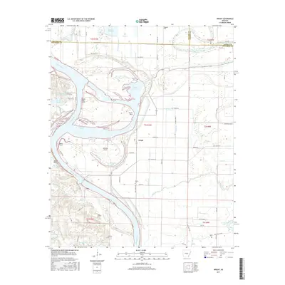
2017 Map of Wright
USGS Topo · Published 2017About this map
The Arkansas River carves a complex course through this Jefferson County landscape, leaving behind a legacy of oxbow lakes and cutoffs such as Brodie Bend and Old River Lake. The settlement of Wright sits at a crossroads near the center of the sheet, surrounded by an intricate network of drainage features like the Main Canal and Lateral H, which manage the water levels of the low-lying river bottomlands. This intensive water management system supports the agricultural character of the region, visible in the many rural roads and canals that crisscross the terrain.
Find a feature on this map
82 named features on this map. Tap any name to fly to it.
Don’t see what you’re looking for? This feature index may not catch every label — zoom into the map to look around manually.
Map Details
Editions of this 2017 Wright Map
This is the sole edition of this map. No revisions or reprints were ever made.
Other maps of this area

1891 · Little Rock
USGS Topo · 1:125,000

1893 · Little Rock
USGS Topo · 1:125,000

1932 · Pastoria
USGS Topo · 1:62,500

1935 · Altheimer
USGS Topo · 1:62,500

1935 · Pastoria
USGS Topo · 1:62,500

1937 · England
USGS Topo · 1:48,000

1939 · Keo
USGS Topo · 1:31,680

1940 · Woodson
USGS Topo · 1:31,680

1941 · Keo
USGS Topo · 1:31,680

1943 · England
USGS Topo · 1:62,500