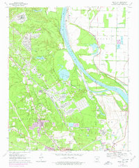
1970 Map of White Hall
USGS Topo · Published 1978About this map
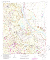
The Arkansas River dictates the landscape of this Jefferson County region, flowing past Trippetts Bluff and winding through complex oxbows and cutoffs. The northern reaches are dominated by the Jefferson Proving Ground (U S Govt), a massive military installation containing an Arsenal Headquarters, a Hospital, and its own U S Government Railroad infrastructure. This industrial and military footprint is balanced by the developing residential pockets of White Hall and Oakland Heights, where 1970s suburban growth appears in purple revision alongside established institutions like the White Hall Sch.
Find a feature on this map
47 named features on this map. Tap any name to fly to it.
Don’t see what you’re looking for? This feature index may not catch every label — zoom into the map to look around manually.
Map Details
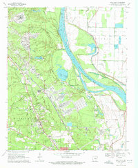
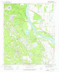
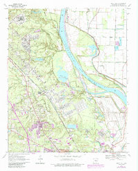
Editions of this 1970 White Hall Map
6 editions found
Other maps of this area

1932 · Pastoria
USGS Topo · 1:62,500

1935 · Altheimer
USGS Topo · 1:62,500

1935 · Pastoria
USGS Topo · 1:62,500

1935 · Noble Lake
USGS Topo · 1:62,500

1948 · Helena
USGS Topo · 1:250,000

1950 · Helena
USGS Topo · 1:250,000

1955 · Helena
USGS Topo · 1:250,000

1955 · Little Rock
USGS Topo · 1:250,000

1956 · Little Rock
USGS Topo · 1:250,000

1959 · Helena
USGS Topo · 1:250,000